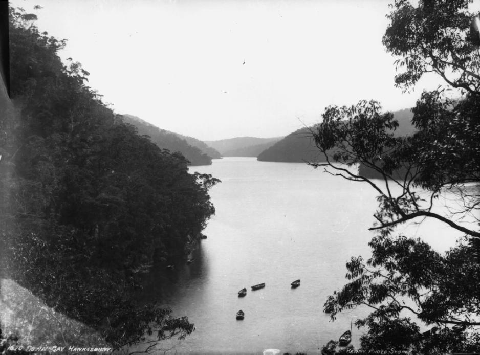
The electorate of Pittwater
The electoral district of Pittwater was created in 1973 and is named after Pittwater, the estuary the district surrounds. Located in the traditional Liberal stronghold of Sydney's northern beaches, for the majority of its existence it has been a comfortably safe Liberal seat – a ‘blue ribbon seat’.
The first Member for Pittwater was Sir Robert William Askin, then Premier of New South Wales. The Electorate of Pittwater had been created out of a large portion of Askin's old seat of Collaroy, and was the natural place for Askin to transfer to when the seat was abolished.
The seat was held by New South Wales Opposition Leader John Brogden until his resignation in 2005. The Liberal stranglehold on the seat was lost in the resulting by-election when the Mayor of Pittwater Council, Alex McTaggart, standing as an Independent candidate, defeated the Liberal Paul Nicolau in a landslide.
The seat reverted to form at the 2007 general election, with new Liberal candidate Rob Stokes comfortably regaining the seat for his party with 61% of the two-party vote to McTaggart's 39%. Stokes actually won just over 50% of the primary vote, just a few thousand votes over the threshold to win the seat without the need for preferences. Stokes won every booth in the district with the exception of Scotland Island, whose few hundred offshore voters traditionally buck the trend. Stokes held the seat without serious difficulty until the 2023 NSW state election, when he retired on a majority of 20.8 percent, the third-safest in the state for a Coalition-held metropolitan seat.
At the 2023 election, Liberal Party member and former Northern Beaches Council councillor Rory Amon was elected by just a few hundred votes. Mr. Amon was forced to resign a year and a half later after NSW Police brought 10 child abuse charges against him. Mr. Amon's departure has triggered a by-election for the seat of Pittwater.
With a reduced majority after the 2023 state election, some state Pittwater is now a marginal seat. However, the statistics record around 42-49% of the population will vote for whichever Liberal party candidate is fielded for elections.
As residents of Pittwater head towards another election on Saturday October 19 to decide who will represent them at a state level, a few insights into the placenames of the Electorate of Pittwater.

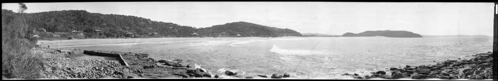
Electorate of Pittwater 2021 boundaries; map courtesy NSW Electoral Commission
Members for Pittwater
Robert Askin Liberal 1973–1975
Bruce Webster Liberal 1975–1978
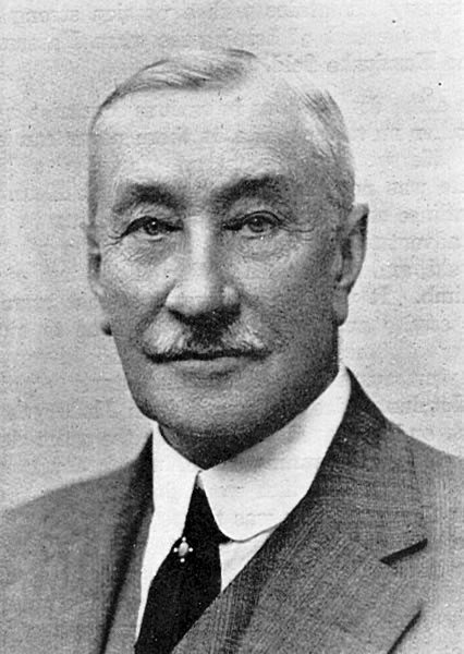
Max Smith Liberal 1978–1984 and as an Independent 1984–1986
Richard Max Smith (22 February 1930 – 8 November 2020) was an Australian politician. He represented Pittwater in the New South Wales Legislative Assembly from 1978 to 1986, first as a member of the Liberal Party and then as an independent. Mr. Smith was born in Gladesville to John Voyle Smith and Doris Ethel Cullen. He was educated at Parramatta High School and then the University of Sydney, and was selected as the youngest member sent to the Duke of Edinburgh's 1956 study conference at Oxford.
Miner
Miner. Educated at Parramatta High School and University of Sydney. Colliery Manager, Australian Iron and Steel 1951 - 1962. Colliery Managers Certificate New South Wales No.1367. Superintendent of Rio Tinto 1962 - 1967, Consultant Mining Engineer 1967 - 1974. Technical and Operations Director of Coalex Pty Limited 1974 - 1978. Selected as the youngest member to His Royal Highness, The Duke of Edinburgh study conference in 1956 at Oxford. Recreational interests include yachting.
He married Helen May Glover on 3 October 1953 (marriage registered at Parramatta) and had three children; he subsequently married Sandra Simpson on 28 April 1984, and Janet Lawrence on 15 March 1998.
When the state Liberal MP for Pittwater, Bruce Webster, resigned in 1978, Smith was selected as the Liberal candidate to contest the seat in the upcoming election; he had a narrow victory over Charles Wild, the Labor candidate. In 1984, he resigned from the Liberal Party to sit as an independent, and resigned from parliament altogether in 1986, triggering a By-election.
The Canberra Times reported on both these events, the second report showing the MP for Pittwater did not live in Pittwater:
Liberal MP quits, criticises Greiner
SYDNEY: A New South Wales State Liberal MP resigned from the party yesterday and delivered a parting broadside to Opposition leader, Mr Nick Greiner, accusing him of arrogance and running a "one-man band".
Mr Max Smith, the member for the safe northern Sydney electorate of Pittwater since 1978, resigned after Mr Greiner refused to reinstate him to the front bench.
Mr Smith said he would represent his electorate as an independent, and believed he could more effectively raise matters of importance in Parliament without the restrictions placed on party backbenchers.
While Mr Smith said he remained a conservative and supported the Liberal philosophy, he delivered stinging criticisms on former parliamentary party colleagues.
"Some were more interested in their own position and power than in issues and policies," Mr Smith said.
He said that while the Liberal Party had made gains in the past 18 months, the Opposition's performance since the opening of the parliamentary session last week had been poor and had suffered from the absence of the former National Party leader, Mr Leon Punch. Liberal MP quits, criticises Greiner (1985, October 2). The Canberra Times (ACT : 1926 - 1995), p. 10. Retrieved from http://nla.gov.au/nla.news-article132368352
NSW MP to leave for Qld
SYDNEY: NSW Independent MP Mr Max Smith will quit State Parliament next week, a member of his staff announced yesterday.
Mr Smith, 56, caused a stir last October when he resigned from the State Liberal Party saying he was sick of the lack of party support for his actions.
A spokeswoman for Mr Smith said yesterday that he could not afford to campaign as an Independent and could not afford to buy a home in his Pittwater electorate.
He will move to Queensland where he has bought a house near the Gold Coast.
She said Mr Smith — an MP since 1978 — was considering joining the Queensland National Party to keep up an active role in politics.
Mr Smith's resignation will take effect from next Friday and a by-election will have to be held. NSW MP to leave for Qld (1986, April 5). The Canberra Times (ACT : 1926 - 1995), p. 7. Retrieved from http://nla.gov.au/nla.news-article118195707
The By-election shows legendary local surfer of then Nat Young and Bob Grace almost secured the seat:
Pittwater - By-election (Roll: n.a.)
Retained by Liberal Party
Nominations: Thursday, 8 May 1986, Polling: Saturday, 31 May 1986
Not contested by both major parties, Preferences required, Preferences counted to completion
Candidate Party Votes % Final %
Young, Nat Independent 6,177 24.22 11,468 46.87
Donnelly, Mark Harrison Call to Australia 1,451 5.69
MacLennan, Graeme Australian Democrats 1,240 4.86
Rigney, Virginia Coral Nuclear Disarmament 643 2.52
Longley, Jim (Elected) Liberal Party 10,922 42.83 13,000 53.13
Grace, Robert Hunter Independent 5,006 19.63
Monk, Brett James Independent 62 0.24
Formal Votes 25,501
Informal / Exhausted Votes 649 2.48 1,033 4.05
Total Votes / Turnout 26,150 0.00
Cause Category: Resignation - Other
Notes: Caused by the resignation of former Liberal MP Richard Max Smith.
Mr. Smith passed away a few years, then living at Forster:
SMITH
Richard Max
Known as Max, formally of Forster. Passed away peacefully on the 8th of November 2020 surrounded by his family. Max was a cherished father and father-in-law of Rick & Liz, Anni & Pete, Jacqui & Paul. He was proud grandfather & great grandfather who will be sadly missed by his family, extended family and his many friends.
Aged 90
Never Forgotten
A private family service has taken place prior to cremation
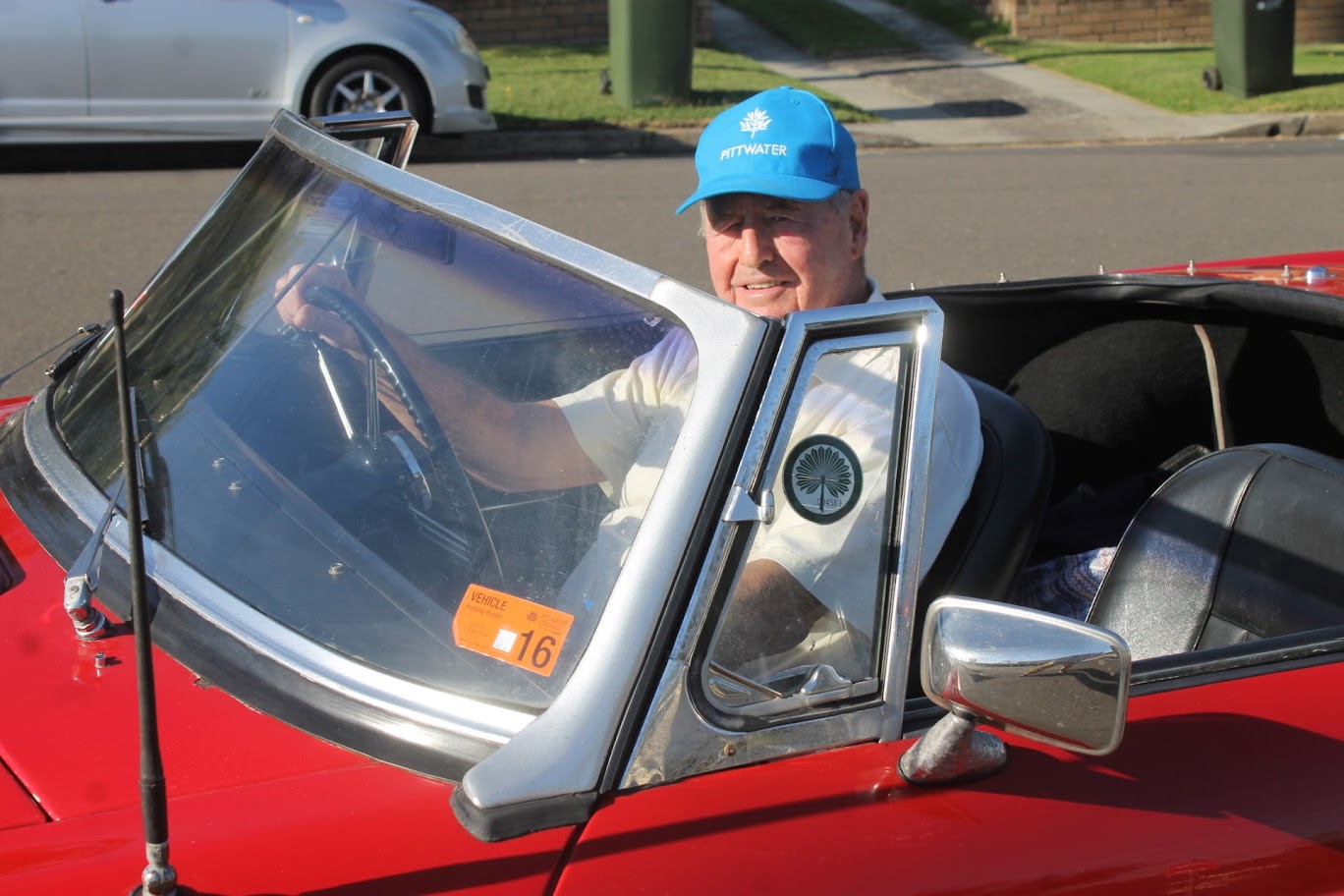
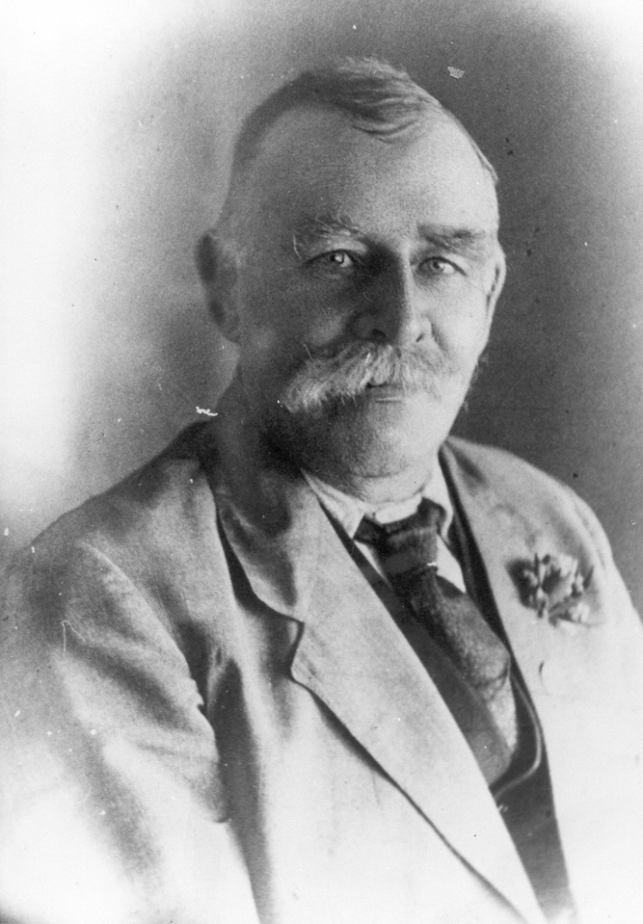
Former Deputy Mayor of Pittwater Council Bob Grace in his favourite red MG. Photo: A J Guesdon, 2016
Mr. Longley secured the seat and held it for a decade.
Jim Longley Liberal 1986–1996
John Brogden Liberal 1996–2005
Alex McTaggart Independent 2005–2007
Rob Stokes Liberal 2007–2023
Rory Amon Liberal 2023–2024
Over 56 Thousand enrolled to vote
The Legislative Assembly District of Pittwater holds 56,345^ electors and occupies an area of 191 square kilometres.
The area includes: Avalon Beach, Bayview, Bilgola Beach, Bilgola Plateau, Careel Bay, Church Point, Clareville, Coasters Retreat, Collaroy Plateau, Cottage Point, Duffys Forest, Elanora Heights, Elvina Bay, Great Mackerel Beach, Ingleside, Ku-Ring-Gai Chase, Lovett Bay, McCarrs Creek, Mona Vale, Morning Bay, Narrabeen, Newport, North Narrabeen, Palm Beach, Scotland Island, Terrey Hills, Warriewood, Whale Beach.
Formation of the Seat of Pittwater – Robert Askin first to hold that seat
The electorate of Pittwater was formed from the previous electorate of Collaroy. Collaroy was an electoral district of the Legislative Assembly of the Australian state of New South Wales, created in the 1949 redistribution and first contested at the 1950 state election.
The seat was created out of a large area covered by the seats of Hornsby to the north and Manly to the south. It was named after and included the Sydney suburb of Collaroy.
The Collaroy electorate was abolished in 1973 and mostly replaced by Pittwater, with part of it being added to Wakehurst.
Liberal party member Robert Askin was the first to hold the seat of Collaroy.
- Member of the New South Wales Parliament for Collaroy
- In office: 17 June 1950 – 17 November 1973
- Preceded by New district
- Succeeded by: Seat abolished
- He was the 6th Leader of the New South Wales Liberal Party
- In office: 17 July 1959 – 3 January 1975
Robert Askin: A few History Notes
Mr. Askin gained preselection for and won the newly created seat of Collaroy at the 17 June 1950 election, gaining 63.69% of the vote.
The Leader of the Liberal Party since 1946, Vernon Treatt led the Liberal/Country Coalition at the election, which resulted in a hung parliament, with Treatt's Coalition gaining 12 seats and a swing of 6.7% for a total of 46 seats. With the Labor Party also holding 46 seats, the balance of power lay with the two re-elected Independent Labor member, James Geraghty and John Seiffert, who had been expelled from the party for disloyalty during the previous parliament. Under a legalistic interpretation of the ALP rules, Seiffert was readmitted to the party and, together with the support of Geraghty, Premier James McGirr and Labor were able to stay in power.
As the new local member for a constituency covering and area that stretched from North Manly to Pittwater, Askin protested against the lack of government development and services in the area, such as sewerage, education, and transport.
The Askin Government was sworn in by the Governor of New South Wales, Sir Eric Woodward, on 13 May 1965 at Government House. It was the first to be headed by the Liberal Party since the main non-Labor party in the state adopted the Liberal banner; being one of only three Liberals to win power from Labor. Askin, who served as his own Treasurer, heavily involved himself in the business of Government, while also maintaining a range of social agendas and regular outings to the racetrack or Rugby League games.[29] One of the privileges of office was the access to a Ministerial car and personal driver, which became particularly important for Askin, who did not drive. On one occasion when Askin was supposed to drive a new Holden from the factory assembly line during a visit, Askin arranged for his driver, Russ Ferguson, to be hidden on the car floor working the controls while Askin held the wheel.
Askin opposed Sydney Opera House construction
Askin's government was marked by strong opposition to an increase in Commonwealth powers, a tough stance on "law and order" issues, laissez-faire economic policies, and aggressive support for industrial and commercial development. At his first Cabinet meeting, Askin restored direct air services between Sydney and Dubbo, and required Jørn Utzon, the Danish architect then working on the Sydney Opera House, to provide a final price and completion date for the Opera House, which had gone past the original estimates for both. His Public Works Minister Davis Hughes began to assert control over the project and demanded that costs be reined in. This brought him into direct conflict with Utzon and in February 1966, after a bitter standoff and the suspension of progress payments by Hughes, Utzon resigned, sparking a major public outcry.
More in: Utzon's Pittwater: a place of peace for a plain sailing man - a quieter Sydney Opera House 50th birthday celebration - Issue 603, 2023
Askin, along with his Minister for Local Government, Pat Morton, oversaw the rapid escalation of building development in inner-city Sydney and the central business district, which followed in the wake of his controversial 1967 abolition of Sydney City Council and a redistribution of municipal electoral boundaries that was aimed at reducing the power of the rival Labor Party. On its abolition, Morton commented that it was "essential for Sydney's progress" and replaced the City Council with a Commission, headed by another former Liberal leader, Vernon Treatt.
The Sydney metropolitan area at the time was marked by increasing strains on state infrastructure and Askin's Government's pro-development stance was largely attributed as an attempt to alleviate these problems. Despite this, the newly established State Planning Authority were continuously criticised for not being totally accountable to the public, particularly as the pro-business Sydney Commissioners worked side by side with the Planning authority to increase developments in the Sydney CBD to their highest levels ever, embodied by the construction of the MLC Centre, the demolition of the Theatre Royal, Sydney and the Australia Hotel.
Other controversial schemes proposed by his government were a massive freeway system that was planned to be driven through the hearts of historic inner-city suburbs including Glebe and Newtown and an equally ambitious scheme of 'slum clearance' that would have brought about the wholescale destruction of the historic areas of Woolloomooloo and The Rocks. This eventually culminated in the 1970s Green ban movement led by Unions Leader Jack Mundey, to protect the architectural heritage of Sydney.
Despite a hostile Legislative Council, an extended drought and various industrial disputes, Askin and his Government passed several reforms. Among them were the removal of trading-hours restrictions on small businesses, abolishing juries for motor accident damage cases, extending the hours for liquor trading, thereby bringing an end to the "Six o'clock swill". The Government also moved into legal and local government reforms, attacking pollution and restoring the previously abolished postal voting rights in state elections. Askin also addressed the demands of the New England New State Movement by holding a referendum in 1967, which was defeated by a large margin.
Many of his government's reforms were due to his Minister for Justice, John Maddison, and Attorney-General Sir Kenneth McCaw, who initiated the establishment of the Law Reform Commission of New South Wales, the introduction of consumer laws, an ombudsman, legal aid, health labels on cigarette packs, breath-testing of drivers, limits on vehicle emissions, the liberalisation of liquor laws, and compensation for victims of violent crime. There was also a new National Parks and Wildlife Service to assist environment conservation and protection. Despite these positive reforms, Askin's government maintained a brutal prison and corrective regime that was to culminate in the Bathurst Gaol riots in 1970 and 1974.
At the 24 February 1968 election, Askin increased his previously tenuous majority, scoring a six-seat swing against Labor's Renshaw and an overall majority of 12 over the Labor Party and the two Independents. Askin retained his seat with 70.97%. It was the first time since the UAP/Country Coalition won three consecutive elections from 1932 to 1938 that a non-Labor government in New South Wales had been re-elected.
In mid-1968 Askin famously became embroiled in a media controversy over the reporting of several words spoken to the United States Chamber of Commerce lunch in Sydney on 32 July 1968 (also the day Opposition Leader Renshaw resigned, to be replaced by Pat Hills), in which he spoke of the October 1966 state visit by United States President Lyndon B. Johnson. Askin had joined Prime Minister Harold Holt, President Johnson and the American Ambassador, Ed Clark, in a drive through the Sydney CBD. As Johnson's motorcade drove into Liverpool Street, several anti-Vietnam War protesters, including Graeme Dunstan, threw themselves in front of the car carrying them. As Askin later recalled, a police officer had informed him that some communists were obstructing the route. Askin claimed he had instructed the officer to drag them off. As the car moved on, he then said to Johnson "half-jocularly": "what I ought to have told him was to ride over them", to which Johnson replied "a man after my own heart". At the subsequent luncheon, Askin instead reported that he had said the remark to the police officer, which a journalist attending the event later reported it as "Run over the bastards."
At the 13 February 1971 state election, the Coalition suffered a swing of four seats, but still managed a narrow win against Labor and new leader Pat Hills, taking 49 seats – a bare majority of one – in the expanded 96-seat Legislative Assembly.
Throughout his time as Premier, Askin was assisted by Charles Cutler as Deputy Premier and Leader of the Country Party. Cutler served as Acting Premier at times when Askin was suffering from illness, having suffered two heart attacks in 1969 and 1973.
In 1971 Askin changed his name from "Robin" to "Robert" by a deed poll.
On 1 January 1972, he was appointed a Knight Commander of the Order of St Michael and St George (KCMG).
Later that year, taking advantage of unease at the increasingly erratic Labor government of Gough Whitlam and the increasing economic problems seen to be caused by it, Askin called an early election for 1973. A setback arose for the government in the northern Sydney seat of Gordon, when the Liberal member and Education Minister, Harry Jago, forgot to lodge a formal nomination of his candidacy. This resulted in the Liberals losing the seat to the Democratic Labor Party before the election took place.
Nevertheless, Askin's government went to a record fourth win against the ALP (still led by Pat Hills), increasing the Liberal/Country majority by four seats and making Askin the only major party leader to win four consecutive terms for Premier until Neville Wran of the ALP. Askin contested the election in Pittwater, as his former seat of Collaroy had been abolished.
A Criminal: Allegations
There have been persistent allegations that Askin, allegedly assisted by then Police Commissioner Norman Allan, oversaw the creation of a lucrative network of corruption and bribery that involved politicians, public servants and police and the nascent Sydney organised crime syndicates.
When questioned about his wealth, Askin always attributed it to the salary from his high public office, his frugal lifestyle, good investments and canny punting. After his death the Australian Taxation Office audited his estate, and although it made no finding of criminality, it determined that a substantial part of it came from undisclosed income derived from sources other than shares or gambling.
With Askin's death in 1981, investigative journalists were freed from the threat of legal action under Australia's defamation laws. Stories about his reputed corruption were published almost immediately. Most notable of these was an article that appeared in The National Times co-written by David Marr and David Hickie. Headlined "Askin: friend of organised crime", it was published on the day of Askin's funeral. This was followed by David Hickie's book "The Prince and The Premier", which detailed Askin's long involvement in illegal bookmaking and allegations that he had received substantial and long-running payoffs from organised crime figures.
In 2007, the centenary of Askin's birth went largely unnoticed with the Liberal Party distancing itself from him.
The allegations of corruption against Askin were revived in 2008 when Alan Saffron, the son of the late Sydney crime boss Abe Saffron, published a biography of his father in which he alleged that Saffron had paid bribes to major public officials including Askin, former police commissioner Norman Allan, and other leading figures whom he claimed he could not name because they were still alive. Alan Saffron alleged that his father made payments of between $5000 and $10,000 per week to both men over many years, that Askin and Allan both visited Saffron's office on several occasions, that Allan also visited the Saffron family home, and that Abe Saffron paid for an all-expenses overseas trip for Allan and a young female 'friend'. He also alleged that, later in Askin's premiership, Abe Saffron became the "bagman" for Sydney's illegal liquor and prostitution rackets and most illegal gambling activities, collecting payoffs that were then passed to Askin, Allan and others, in return for which his father was completely protected.
Askin’s corruption were reinforced by Hickie’s 536-page book, The Prince and the Premier, published in 1985.
References
- TROVE - National Library of NSW
- NSW Parliamentary records and biographies
- Wikipedia contributors. (2024, August 20). Robert Askin. In Wikipedia, The Free Encyclopedia. Retrieved from https://en.wikipedia.org/w/index.php?title=Robert_Askin&oldid=1241403915
- Pittwater Online News - histories, tributes and reports
Duffys Forest
Peter Joseph Duffy (1814-78) was the son of district constable Patrick Duffy who sailed into Sydney on the ship Eliza in 1822, with his wife Bridget (nee Conlon) and their four children. Patrick received a grant of 100 acre (40.5 hectares) in the Parramatta-Pennant Hills area, a portion of which he cleared and established as an orchard.
Peter Joseph, the second son, toiled as an orchardist and is listed, together with his younger brother Patrick Michael, as a signatory of the 1851 fruitgrowers' petition.
He was, however. also a sawyer and it was to him, and not as previously thought to his father Patrick, that the 100 acres of what became known as Duffys Forest was granted in 1857. The father, Patrick, had died in 1854 at the age of 68 and is buried in St. Patrick's Cemetery in North Parramatta.
Peter Duffy and his associates, following Larmer's track to Cowan Waters, built a wharf of stone and timber, widened the road and commenced felling the trees. Some were slid down the steep ridges and into the water to be loaded on to the barges, some were hauled down by bullock teams and almost overnight, the gentle forest was a hive of activity.
The men did not live there permanently but remained in the bush for months at a time - some took their families 6 with them - living in makeshift huts, some of wattle and daub with stringy-bark and slab roofs, others with sapling and hessian walls sealed with manure. All lived under the most primitive conditions but with plenty of fresh running water from the creeks or springs, and fish or game for the pot. The remains of the old wharf, built on an Aboriginal midden, are still there, partly submerged but still visible about one kilometre up Cowan Creek from Bobbin Head in an inlet known as Sledgehammer because of its shape.
Duffy's track became Booralie Road and the road to the old wharf is now a fire trail. The remains of an old wooden fence just above the old wharf are believed by some old timers to be part of Duffy' s boundary, others say it was a fence to keep in the bullocks and horses or the deer, pigs and goats that may have provided 'tucker' for the hungry timbergetters, but the late Bill Reely of Turramurra said, in 1982, it was definitely known as 'Corner Post' and part of Oliver Bourke's fence, used by him in the late 1800s. Part of this fence was later used by the park rangers to enclose grey kangaroos in a bid to introduce them into the Chase. Not indigenous, and used to plains, the rough terrain, however, was unsuitable and the died out.
Extract from and much much more in: The Story of Terrey Hills and Duffys Forest 1805-1988 by Gay Halstead. Commissioned by Australian Geographic and published in the Bicentenary year of 1988 by Nungurner Press Pty Ltd Copyright©1988 G. E. Halstead ISBN O 9593401 1 4 Printed in Australia by Macarthur Press Sales Pty Limited. Available at: https://dicksmithadventure.com.au/wp-content/uploads/2018/06/The-Story-of-Terrey-Hills-Duffys-Forest_Book.pdf

Duffy's Wharf on Cowan Creek, circa 1900. Photo: by Kerry, courtesy NSW State Records and Archives, Item; FL3592733

Cumberland Colah South - No. [Number]1 Proposed measurement of Patrick Duffy's land (100a [acres]). No.[Number] 2 proposed measurement of Mr Milson's (250ac [acres]). [Sketch book 1 folio 22]. Courtesy NSW Records and Archives, Item; FL208183
The first settler was Peter Joseph Duffy who was granted 100 acres (60 hectares) in 1857. He was an orchardist but immediately set about felling trees, the timber to be sold in Sydney Town . He created a bullock track down to Cowan Water and there established a wharf, whose remnants are still there. The timber was loaded onto a barge which was used to convey the timber, both up the Hawkesbury and with greater difficulty around to Sydney Harbour. Duffys Forest was still a very remote place, requiring a trip of over 100 kilometres by horse and cart, via Parramatta to the growing Sydney town. Other small grants were made over this time, but the population was less than 100 people. Timber workers came to provide labour for the endeavours of the Duffy family, but accommodation was rough. This period took us through to 1890 and the economic depression.
1894 saw the declaration of the Ku-ring-gai National Park, which eventually faced Duffys Forest on three sides. The period from 1890 through to the end of WW1 saw a degree of development of orchards and small farmlets. There was the conditional sale of land by the NSW Government in 1907, involving minimum lots of 2 hectares. The general public were becoming much more aware of the beauty of Australian wildflowers and for a number of years there was a Wildflower Show in Manly at this time, until it was realised that wildflowers were rapidly disappearing and some controls were introduced.
With the end of WW1, soldier settlements were introduced both at Forestville and Duffys Forest. Unfortunately, this was not a success due to the returned servicemen not having enough capital to develop their lots and also lacking expertise. Many ex-servicemen walked off their lots. The population was still not much more than 100 people.
The whole area of Duffys Forest and Terrey Hills was still known at this time as Duffys Forest.
In 1924, both the Spit Bridge and Roseville Bridge were opened at this time and private and commercial vehicles were being seen but not in great numbers. A bus service was started from St Ives arranged by Jimmy Maunder on what was known as Lane Cove Road, which previously had been known as Pittwater Road and eventually became Mona Vale Road.
The Depression of the 1930s made life hard and there was a transient population of unemployed men who slept rough and had a wash in the surrounding pools off the ridge line. In those days, the water was clear and pure, compared to the sad polluted state of these pools and creeks now. Telephone connections only became available in the 1940s.
The next period started with the end of WW2 and proceeded to the mid 1980s. Increased car ownership meant that more and more people were becoming familiar with the area but roads and streets in the city outskirts, such as Duffys Forest, were only slowly becoming tar sealed. The Sunday afternoon drive was becoming part of suburban family life. Roadside stalls started to appear catering to the suburban tourist. Up to the 1930s, summer bushfires had largely burnt themselves out away from homes but as residential development increased, first Terrey Hills and then Duffys Forest established a volunteer fire service. The bushfires ravaged the area, on average every 5 years. This had a unique impact on Duffys Forest and Terrey Hills in bringing the community together, not only to prepare and fight bush fires but to focus on the provision of a whole range of volunteer services. Both areas have had strong resident’s groups, when other parts of the Northern Beaches no longer have Progress Associations to conduct working bees and lobby local, state and federal government. Electricity eventually came to the area in 1967. The proposal to create an airport at Duffys Forest created a furore from the local residents and a fight after 4 years, which they won. Waratah Park was opened in 1967 and became famous for the television series “ Skippy the Bush Kangaroo “ which ran for 3 years but in people’s memories seemed to run for 20.
From 1985 onwards, there was a general increase in prosperity with a bit of a dip in the early 1990s. The Forest Hills Pony Club started in 1978 but the blossoming of equine recreation in and around Duffys Forest expanded from the 1980s onwards. Bushwalkng still remained popular but mountain biking took off. To such an extent, that in the early 2000s, we saw the President of the USA, George Bush, careering through the forest. The Terrey Hills Golf and Country Club was built accompanied by the Greenway real estate development in the late 1990s. With the general increase in prosperity, we have seen the development of larger houses, complete with swimming pools, tennis courts, horse exercise yards and extensive landscaping.
Extract from THE HISTORY OF DUFFYS FOREST BY JIM BOYCE – from; https://duffysforest.com/history-of-duffys-forest/
Also more in: Roads To Pittwater: The Mona Vale Road
Family History: Patrick Duffy - Mum's side
Duffys Forest is named after Patrick Duffy, who received a land grant there in 1857. He became a timber cutter and cleared a road through the bush to Cowan Creek, where he built a stone wharf for transporting timber. The wharf is still known as Duffys Wharf and the road is Duffys Track.
Duffys Forest is a suburb of northern Sydney, in the state of New South Wales, Australia. Duffys Forest is 28 kilometres north of the Sydney central business district in the local government area of Northern Beaches Council. Duffys Forest is considered to be part of the Northern Beaches region and the Forest District.
Warringah Shire Mayor - John Frederick Duffy (1863-1950)
My second great grandfather John Duffy was the mayor (then called president) and served in the first Warringah shire council from 1906, he was re-elected in 1908, 1911, 1914 and 1917 his photo resides on the walls of the Warringah shire council building today.
He served as the 5th Warringah Shire Council President from 1 March 1915 – 1 March 1918
He married Sarah Martha Horn at Waterloo in 1894. John and Sarah had a son John Fredrick who served in WWI and a daughter Elvy Margaret Duffy (my great grandmother) (1896-1981).

Sarah Duffy (My Nan's grandmother), Jack Duffy, Elvy Duffy (My Nan's Mother) and John F Duffy (Nan's grandfather).
Mona Vale Orchard
He was also an orchardist at Mona Vale. Family photos of John Duffy at his orchard:


Insights courtesy of and retrieved from; https://belistrophic.blogspot.com/2019/11/family-tree.html
No. 14,573. APPLICANTS:—Sarah Martha Duffy and John Frederick Duffy, Mona Vale, Pittwater. LAND:—Shire Warringah, parish Narrabeen, county Cumberland, 5 acres 1 rood 24 perches in Emma-street and Lane Cove Read, near Turimetta, being lot 20, section A, Collingwood Estate, and part 115 acres 2 roods (portion 53) granted to Thomas Collins; adjoining the properties of J. F. Duffy and J. Mcintosh. NOTICE UNDER REAL PROPERTY ACT. (1907, February 20). Government Gazette of the State of New South Wales (Sydney, NSW : 1901 - 2001), p. 987. Retrieved from http://nla.gov.au/nla.news-article226577683
This holding had originally been part of the Collingwood Estate land sales.
See: Pittwater Roads II: Where The Streets Have Your Name - Warriewood
Primary Application - Sarah Martha Duffy & John Frederick Duffy Emma Street & Lane Cove Road near Turimetta Shire Warringah Parish Narrabeen Volume 1832 Folio 182. Contents Date Range: 06-11-1906 to 26-11-1907
.jpg?timestamp=1727991480886)
.jpg?timestamp=1727991555591)
and:
.jpg?timestamp=1727992010240)
.jpg?timestamp=1727992050483)
.jpg?timestamp=1727992099741)
Thomas Collins’ 55 acres, just north of the bridge over Narrabeen Lagoon, on the western side of Pittwater Road, was conveyed to F.C. Hedemann on 26 November 1883 for £460. [LTO Book 280 No. 742] The bridge was constructed at this time, which enhanced the value of the land.
Collins’ five grants near Mona Vale Road were conveyed to F.C. Hedemann for a total of £1990-10-0, being £20 deposit, previously paid at Collins’ Narrabeen house at 10.30 a.m. on 7 April 1883 [LTO Book 280 No.486], and £1970-10-0 on 3 December 1883. [LTO Book 280 No. 741] - Collingwood Estate
A Sale Note was also made on 3 December 1883, Hedemann agreeing to purchase J.T. Hughes’ grant on Mona Vale Road for £350, “Mr. Collins to endeavour to find the title deeds within two years”, or the sale would be void. [LTO Book 280 No.487] The sale went ahead on 13 November 1885. [LTO Book 328 No.171] - Collingwood Estate
Collins sold Rhodes’ grant, the site of Narrabeen High School, to Manly builder James Blair on 30 September 1886, for £900. [LTO Book 349 No.730]
Collins contracted to sell Lees’ grant, which formed part of his own farm at North Narrabeen, to John George Cousins of Manly for £30 per acre on 3 May 1886. [LTO Book 337 Nos 584] Cousins paid a deposit of £250 but the contract was cancelled on 15 June 1891, Cousins then owing Collins £233-9-5 for interest and his costs. [LTO Book 482 No.376] Collins applied to have two grants (Schaffer’s, granted in the name of Robert Stewart, and Lees’, granted in the name of Capper Pass) brought under the Real Property Act, and a Certificate of Title was issued to him on 15 June 1892. [LTO Vol.1060 Fol.211]
The farm was sold to Edward Augustus Macpherson on 20 March 1895. It was finally subdivided and sold by Sir Allen Taylor, timber merchant, in 1912.
Thomas died at his Manly home, “Addiscombe” on 6 June 1897. He was 82 years old, although his gravestone in Manly cemetery wrongly states that he was aged 94.
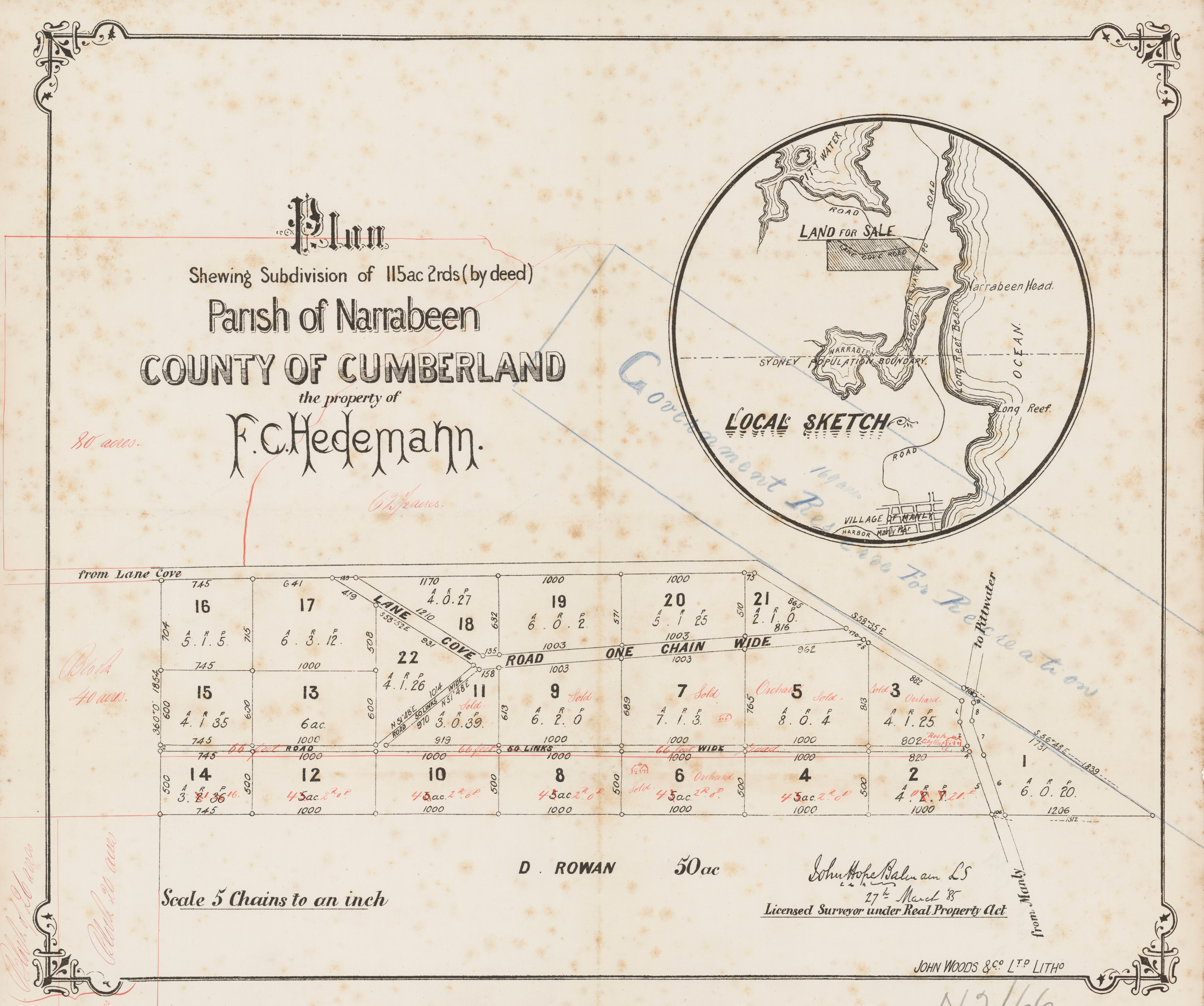
Plan shewing subdivision of 115 acres 2rds (by deed), John Hope, Balmain Surveyor, surveyed 27th of March 1885. Parish of Narrabeen - The Property of F. C. Hedemann. Item No.: c050370068
Collingwood, meaning "wood of disputed ownership" (from Middle English calenge ‘dispute’, ‘challenge’). In this instance, perhaps a reference to Thomas Collins, the owner prior to Frederick Caesar Hedemann.
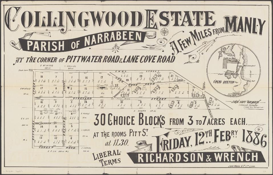
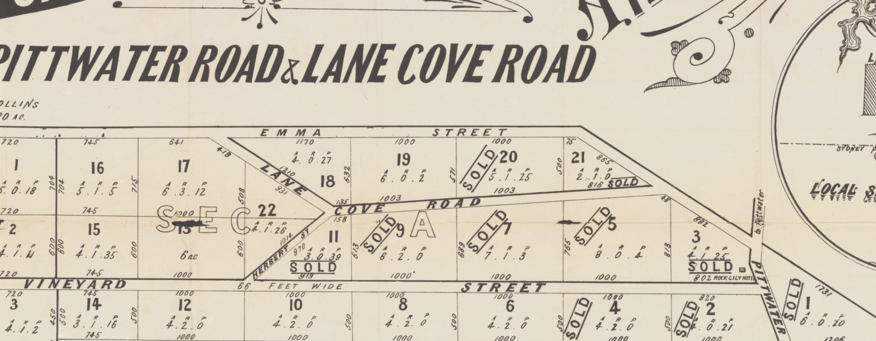
Richardson & Wrench & Balmain, John Hope & John Woods & Co. (February 12th 1886). Collingwood Estate, Parish of Narrabeen, a few miles from Manly, at the corner of Pittwater Road & Lane Cove Road 30 choice blocks from 3 to 7 acres each : at the rooms Pitt St., Friday, 12th Febry. 1886, at 11.30 Retrieved from http://nla.gov.au/nla.obj-230339763 - and section from showing Herbert Street and Emma Street.
John Frederick DUFFY
Regimental number: 36604
Place of birth: Thornleigh New South Wales
Religion: Church of England
Occupation: Orchardist
Address: Mona Vale, Pittwater, Manly, Sydney, New South Wales
Marital status: Single
Age at embarkation: 21
Next of kin: Father, John Frederick Duffy, Mona Vale PO, Manly, Sydney, New South Wales
Enlistment date: 1 November 1916
Rank on enlistment: Driver
Unit name: Field Artillery Brigade, Reinforcement 29
AWM Embarkation Roll number: 13/128/2
Embarkation details: Unit embarked from Sydney, New South Wales, on board HMAT A15 Port: Sydney on 5 November 1917
Rank from Nominal Roll: Bombardier
Unit from Nominal Roll: 1st Divisional Ammunition Column
Fate: Returned to Australia 16 June 1919
The party then boarded the cars again, and a visit was paid to Narrabeen. Afternoon tea was served by the local ladies, and further speech-making followed. Mr. A. Ralston(president) presided. Mr. Stuart Robertson, M.L.A., proposed "The Shire of Warringah and District." Dr. R. Arthur, M.L.A., followed, and the toast was responded to by Mr. A. Ralston (president Warringah Shire), Mr. Gordon (president Narrabeen Progress Society), and Mr. Duffy (president of the Mona Vale Progress Association).
The toast of "The Visitors" was proposed by Councillor Holden, and responded to by Mr. Hughes, M.P., Mr. J. Hepher, M.L.C., and Mr. Briner, M.L A.
Mr. Hughes, in the course of his remarks, regretted that in connection with the Federal capital Sydney and its environs had been banned by the 100-mile limit, as places within that radius were by beauty and suitability justly entitled to have it.
A visit was then paid to Queenscliff and Freshwater, and the various beauty spots admired.
In the evening a complimentary social was tendered Dr. Arthur in the Victoria Hall, Manly. A programme of musical items was submitted, and at the close, on the motion of Mr. Mark Mitchell, seconded by Mr. F. Trenchard Smith, a vote of thanks was accorded Dr. Arthur for the work he had done for the electorate since his entry into politics. The remarks of the speakers were supplemented by Mr. Henley, M.L.A., and Colonel Ryrie, M.L.A. Dr. Arthur responded. AUSTRALIA'S PLAYGROUND. (1908, October 19). The Sydney Morning Herald (NSW : 1842 - 1954), p. 8. Retrieved from http://nla.gov.au/nla.news-article14990032
Warringah Shire Council Records: from Minutes of Meetings:
3/3/1919: 1. That the Engineer prepare an estimate for repairing and painting the fence round Mona Vale Park; Counoillor Sturman seconded. Carried. "That the Engineer furnish an estimate for completing cutting in Bilgola Road, Newport, and connecting same with Gladstone Street" Seconded by Councillor Duffy. Mona Vale Beach Resolved, - (on the motion of the President) That £5 be voted for clearing of any the ti-tree to open up the view of Mona Vale Beach.
23/8/19, re Honorary Rangers under Birds & Animals Protection Act ; Resolved,(Councillor Sterland, Councillor Thew) That the Engineer and Sanitary Inspector be nominated as Honorary Rangers for the Shire; Councillor Atkin for Narrabeen; Councillor Rose for and Councillor Duffy for Mona Vale - That an advertisement be inserted in the local papers notifying that the Shire is now a Bird Sanctuary.
WEDDING BELLS
DUFFY-WHITE.
On Saturday, 19th instant, at St. St. Jame's Church, King-street, Sydney, the pretty wedding of Miss Rita Florence White, only daughter of Mr. and Mrs. Frederick White of Manly, (late of Parramatta), and Mr. John Frederick Duffy, only son of Mr. and Mrs. Duffy of Mona Vale, Manly, was solemnised by Rev. J. Russell. The church was beauty-fully decorated with choice white blooms, and the guest pews tied with true lovers knots. The organist pre-sided at the organ, and during the signing of the register, "Beloved it is Morn,', was sung by Miss Kathleen Lovell (cousin of the bride).
The bride who was given away by her father wore a beautiful scintillating bridal gown of ivory georgette over silver tissue, with underskirt of jewelled embroidery. The court train was of pink tulle and ninon, draped with silver lace, held in place by clusters of silver roses. With her tulle veil, she wore a band of silver tissue and trail of orange blossom. Her bouquet of roses and carnations with tulle and silver streamers, and a cheque were the gifts of the bridegroom. Two brides-maids were in attendance, Misses Louie Flook (bride's cousin) and Elvie Duffy (bridegroom's sister), prettily and effectively frocked respectively in shaded mauve, and champagne pleated , crepe de chene, worn with hats to match; their bouquets to tone and gold armlet and diamond brooch were the bridegroom's gifts. Mr. Ritchie White (bride's brother) was best man, and Mr. Stan White (bride's brother), grooms man. Mrs. White (bride's mother) wore orchid mauve floral georgette, over brocaded tissue, and large crinoline hat of fuchsia shade. She carried a posy of pansies, red roses and lavender. Mrs. :Duffy (bridegroom's mother) black morocain, trimmed with white pleated georgette, black hat. Her posy was of scarlet roses. After the ceremony a reception was held at Sargent's, Market-street, about 100 guests being present. Mr. P. Winston presided, and the usual toasts were honored. Later Mr. and Mrs. J..P. Duffy left for the Jenolan Caves, where the honeymoon is being spent. WEDDING BELLS (1925, December 23). The Cumberland Argus and Fruitgrowers Advocate (Parramatta, NSW : 1888 - 1950), p. 4. Retrieved from http://nla.gov.au/nla.news-article103769683
MONA VALE SCHOOL.
Writing to the Editor, Mr. D. J. Duffy says that the Mona Vale Public School has no permanent water supply. The children at the school are compelled at times to drink putrid water, caught in tanks and drained from the roof, where many birds lodge, or to carry their supply-from their homes. MONA VALE SCHOOL. (1927, December 14). The Sydney Morning Herald (NSW : 1842 - 1954), , p. 17. Retrieved from http://nla.gov.au/nla.news-article16426462
J. F. Duffy is listed as a contractor in local Mona Vale Dunn's magazine lists. One contract:
In connection with the £3,000 grant received for the new Colo River bridge and approaches, it was announced at Monday's meeting of Colo Shire Council that council's acceptance of the tender of Messrs. J. F. Duffy, H. E. Solomon and G. L. Solomon, of Mona Vale, at £1779/19/- for the structure, on condition that the contractors employed 90 per cent local labor through the local labor bureau, had been approved by the department, as also had been the plans, and specifications for the work. The approaches and other work specified will be done by the council staff, and it was expected that operations, both on the bridge and approaches, would begin on Monday last, May 13. WEEK TO WEEK. (1935, May 17). Windsor and Richmond Gazette (NSW : 1888 - 1954), p. 4. Retrieved from http://nla.gov.au/nla.news-article85795072
John Frederick Duffy - Date of Death 05/02/1950, Granted on 05/06/1950. Place: Mona Vale, Remarks: Occupation: Retired Orchardist
John Frederick Duffy (son) - Date of Death 22/01/1982, Granted on 22/04/1982
Not to be confused with:
JOHNSON, John and Edward Brothers John and Edward Johnson travelled as cabin passengers from London on the Renown, arriving in Sydney on 24 June 1831. [AO COD 24] Their mother was Frances Johnson, who had been transported as a convict on the Lord Melville in 1817. In the 1822 General Muster she was listed as wife of J. Foster, Sydney, while the entry under John Foster stated that he came free on the Surry, and was an Ordinary Constable, Sydney. The couple had two children, William aged 4, and Eleanor, aged 1½. In the 1828 census Frances was the wife of Capper Pass, tallow chandler, George Street, Sydney. Her son William Johnson, aged 10, lived with them, while her daughter Eleanor Johnson, aged 7, was “with Wm. Fisher, Hunters Hill”. William Foster, farmer and district constable, whose grant was at present Killara, was meant. Eleanor was shown in 1828 as having her own farm of 10 acres, all cleared and cultivated, with 5 horses and 3 cattle.
John Johnson was issued with a publican’s licence for the Gate Hotel, situated on William Foster’s grant, on 2 July 1832. As the Green Gate Hotel, the licence was renewed on 3 July 1833.
On 25 February 1833 John Johnson married Charlotte Oliver, the daughter of William’s unmarried sister Bridget and her employer, Daniel D. Mathew, an English settler who owned a saw mill in the area. Johnson moved to the new Sawyer’s Arms, a “long slab and bark hut” situated on Henry Oliver’s grant opposite Fidden’s Wharf Road. A publican’s licence was issued to him there from 1834 to 1838, although William Oliver held the licence briefly in 1836 and 1837. [Australian 7 Oct 1836]
Mathew Notes appears in Roads To Pittwater: the Mona Vale Road
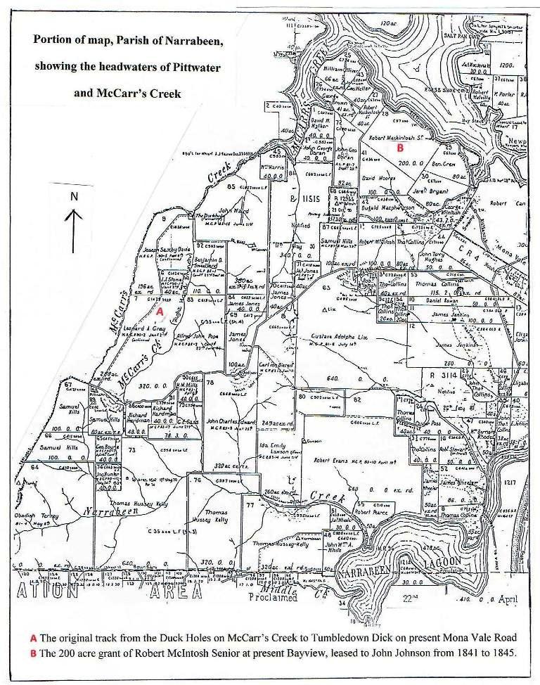
In 1839 Johnson moved to the George Inn in Sydney, while the licence for the Sawyer’s Arms was transferred to Daniel Bullock. William Oliver held the Sawyer’s Arms licence in 1840, and Bullock moved to the New Inn, Lane Cove, holding a licence there from 1843 to 1845. Also on 25 February 1833, Charlotte’s mother Bridget Oliver married Daniel Bullock, a sawyer, in a double wedding. They were married by the Presbyterian minister, Dr. J.D. Lang. William Oliver’s other sister, Margaret, married Peter Joseph Duffy in 1836. Duffy was living with Johnson at the George Inn, corner of Market and Castlereagh Streets, when he applied for 40 acres of land in the Parish of Gordon on 29 May 1840. [AO Reel 1121; 2/7846] John Johnson applied for 50 acres of land at the Basin, Pittwater on 27 November 1840, stating his intention of establishing a market garden there. [AO Reel 1146] He did not proceed to purchase, and the 50 acres was sold on 6 April 1842 to James McCawley. [LTO SN75/7]
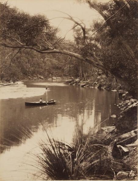
On 1 January 1841 William Timothy Cape leased McIntosh’s 200 acre grant at present Bayview to John Johnson for £20 per annum. [LTO Book V No.569] John and Charlotte Johnson were living there, with three children, at the time of the 1841 census. They were still there in 1845, when John Johnson, Peter Duffy, and Daniel Bullock were all named as being associated with illegal distilling at McCarr’s Creek. The three were all married to Oliver women.
More in: An Illicit Still at McCarr’s Creek By Shelagh Champion OAM - Issue 67, July 2012
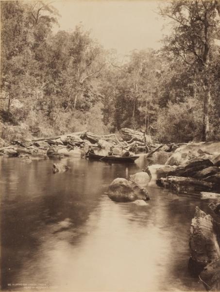
Head of McCarrs Creek, Pittwater, 1879-1892 Image Number; a924967h & a924066h, Courtesy of State Library of NSW.
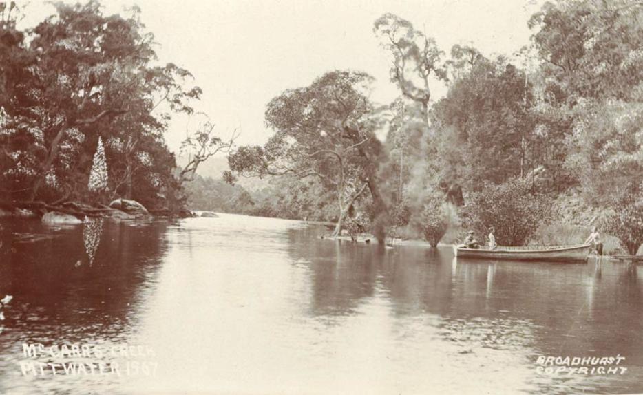
McCarrs Creek, Pittwater , ca. 1900-1927. Sydney & Ashfield : Broadhurst Post Card Publishers (with original sepia tinge). No. a106169, Courtesy State Library of NSW
John and Charlotte’s children were: John Junior, born 1834; Frances (b.1836, married Richard Augustus Willoughby Green 1858); Henry (b.1840); William (b.1841); Charles (b.1847); Daniel (b.1850); Charlotte (b.1855, died 1875). William was born at Pittwater. The Johnsons had departed from Pittwater by 30 August 1845, when Cape leased the 200 acres to Thomas Johnson Jones. [LTO Book 9 No. 442]
There were two Charles Johnsons on the North Shore. One married Louisa Oliver in 1870 and the other married Elizabeth Henry in 1871. Present indications suggest that Charles the son of John and Charlotte was the one who married Elizabeth Henry, while the other Charles Johnson married Louisa Oliver. John’s brother Edward Johnson was also living at Pittwater at the time of the 1841 census. Records indicate that he had married Esther Browne in 1840. Biographical notes in the Ku-ring-gai Local History Centre state that Edward went to the U.S.A. during the gold rushes there. - From Profiles of the Pioneers in Manly, Warringah and Pittwater, 2013 Revised version. compiled by Shelagh Champion, OAM, B.A.(Lib.Sc.) and George Champion, OAM, Dip.Ed.Admin.
Cottage Point
Around 1880 Cottage Point was known as ''Terrey's Point'', and named after James Terrey, who built a holiday cottage there. In 1884, it was known as ''Gerrard Point''. In the 1890s Edward Windybank built a cottage on the point for holiday makers to use and it became known as ''Cottage Point''.
Cottage Point is entirely enclosed by Ku-ring-gai Chase National Park, which protects 14,712ha of rugged bushland, and by two waterways Cowan Creek and Coal and Candle Creek. Cottage Point was also listed as a Heritage Conservation area by the former Warringah Council due to significant buildings which highlight the leisure related development of the area.
The first European exploration was made by Governor Phillip on 5 March 1788 in which he noted 'several coves and good depth of water all the way up'. Cowan Creek was also a favourite route for smugglers in the early days. In 1842 a timbergetter came upon 200 casks of rum that had been secretly landed from the Fair Barbadian.
See: Smuggling at Broken Bay by Shelagh Champion OAM - Issue 66, July 2012
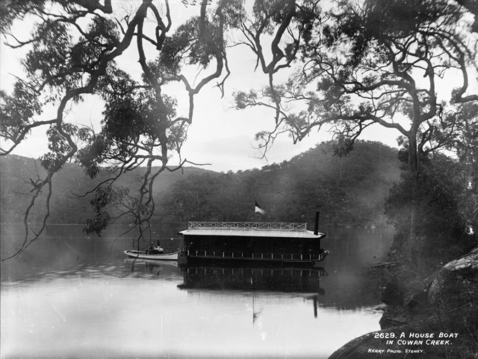
One of the earliest inhabitants along Cowan Creek, Edward Windybank was living here by 1890. He built his home in Waratah Bay (a few bays round from Cottage Point) where he lived with his family. Whilst quite isolated this did not stop the shrewd businessman who saw opportunities for holiday makers. He built a fleet of 60 row boats which he hired out and is also believed to have been the first person to make moored houseboats available for hire. He bought old steamers, cut them in half and converted them to make accommodation for holiday makers - rent for a week was three pounds (approx. six dollars).
In 1934 a bridle track from Akuna Bay allowed holiday enthusiasts access to Cottage Point. Although it wasn't until 1968 that Cottage Point received its first sealed road replacing the rough and unsealed road. Surprisingly most people continued visit Cottage Point by boat.
In 1974 residents packed away their generators as electricity was made available to the cottages and houses.
Today there is about 50 properties in this small community. Most of the properties are used as weekenders or holiday homes with an increasing number taking up permanent residence. There are a number of historically significant sandstone and timber cottages along Cottage Point's foreshore that provide a stark contrast with their large modern neighbours.
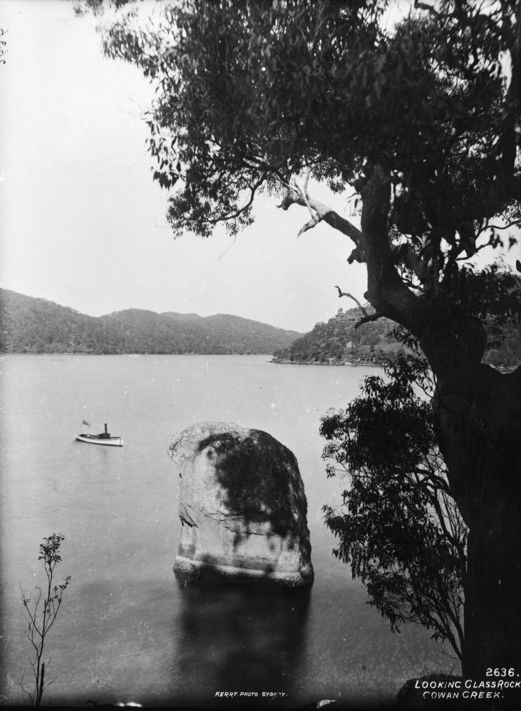
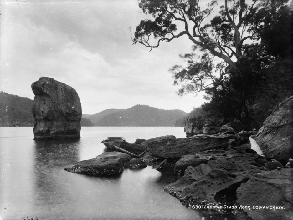
Opposite Cowan Waters you will see Looking Glass Bay and to the right is Looking Glass Rock which glows brightly with the dawn sun in summer. It is said that the local Aborigines believed that if the rock ever became submerged then it would be a sign that the Europeans would depart!!
Insights courtesy of and from: www.cottagepoint.com.au
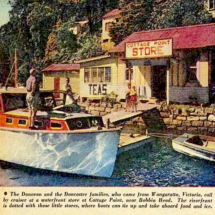
magazine cutting from Australian Women's Weekly
Cottage Point Store 1950s (now the upmarket Cottage Point Inn) was the essential supply depot for 'boaties'. The store was run by the Anderson Family:
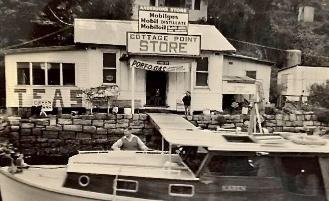
Anderson's Store early 1960s. Appears to be Mr Anderson fending off the Halvorsen cruiser, 'Karen'.
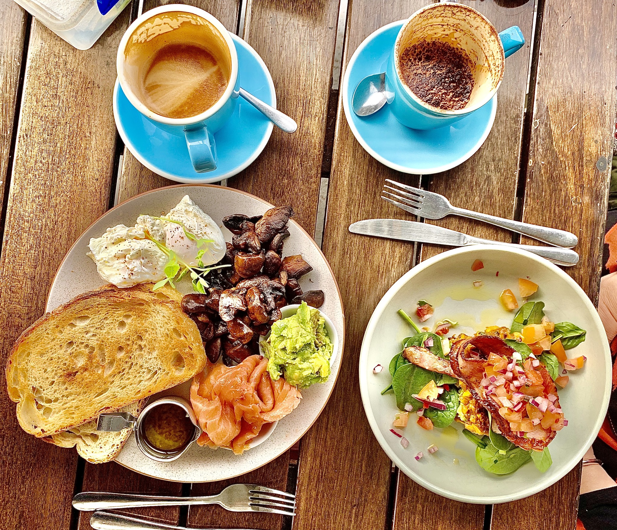
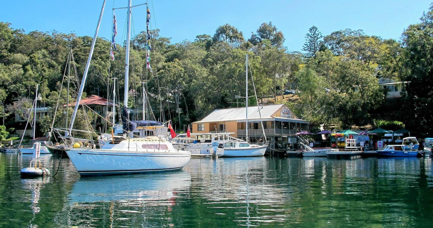
Upmarket brunch at The Kiosk, Cottage Point. From: Autumn Sojourn: Cowan Water - May 2024, photos and captions by John Vaughan OAM
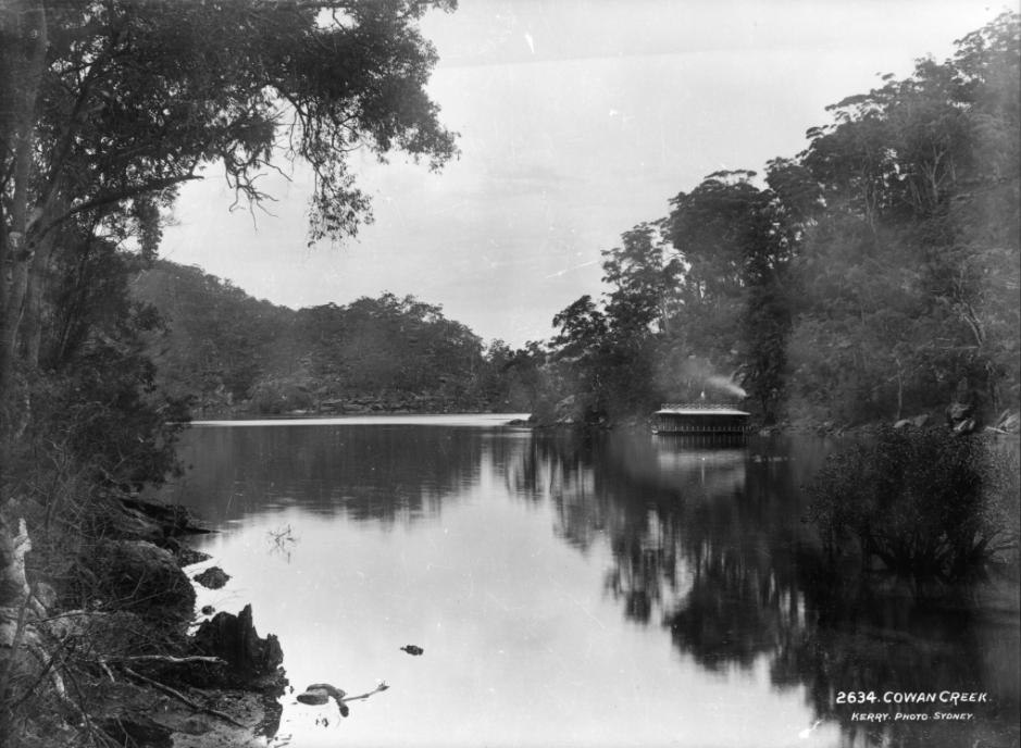
COWAN CREEK LOCATION NAMES
Cowan Creek extends 12kms from Eleanor Bluffs to the limit of navigation up to Bobbin Head. It is the main waterway in Ku-ring-gai Chase National Park and runs through three local government areas, being the boundary between them. These are Ku-ring-gai Municipal Council, Northern Beaches Council and Hornsby Shire Council.
The entrance to Cowan Creek is marked by a red beacon on Challenger Head, located on the western side, and an east cardinal beacon on Eleanor Bluffs. The creek is a drowned valley with steep sides and deep water, often making anchoring difficult except close to the shores.
The area around Cowan Creek was long inhabited by the local Aborigines. The first recorded European exploration was made by Governor Phillip on 5th March 1788. He returned after reaching Bobbin Head.
Cowan 'Creek' extends to the south-west from Broken Bay. It is the same name as that of the village of Cowan. Reed gives it as an Aboriginal word meaning “big water”. Halstead says that it was first recorded in 1826 when William Bean sought a land grant, and that it was officially known through most of the 19th century as "The South West Arm". It is said by Kennedy to be named after a place in Scotland. According to Jervis the name was definitely in use by 1823. A 1953 Lands Department map shows the entire creek as Cowan Water. Source: Place names of the greater Hawkesbury region (Powell 1994)
Like Berowra Creek, Cowan Creek was used by smugglers in the early years of settlement. However, other than short term expeditions, the area remained uninhabited by Europeans until 1888 when Edward Windybank, a boat builder, took up lifetime tenancy in Waratah Bay, and later built several cottages on Cowan Creek’s shore.
Turramurra resident, Eccleston du Fair, spent several years campaigning the Government of the day for the conservation of bushland around Cowan Creek. In 1894, he succeeded when much of the catchment area of Cowan Creek was proclaimed as Ku-ring-gai Chase National Park, which became the second national park established in Australia. Du Faur was appointed as the managing trustee. The National Park area has been expanded and today it covers 14,977-hectare (37,010-acre) of mostly rugged bushland.
The names and their origins along Cowan Creek are listed below:
ELEANOR BLUFFS
Located on the western side of the entrance to Cowan Creek. The name first appears on an Admiralty chart of 1866. It appears to be associated with the indigenous word “Elanora”, which means, “camp by the sea”.
CHALLENGER HEAD
Located on the southern entrance to Cowan Creek. Named after HMS Challenger, by Captain Sidney during an 1868 survey. Several years later the ship was chosen for the Challenger Expedition, a worldwide marine research expedition (1872 to 1876). As part of this expedition scientists visited the Hawkesbury and the surrounding area.
AMERICA BAY
Provides sheltered anchorage with good holding grounds. The name dates back as far as 1832 when it was noted on a map by Surveyor Larmer. The name likely goes back to American sealing and whaling vessels who regularly worked along the Australian coastline. The sheltered bay provides an excellent location for a large crew to rest and replenish supplies of fresh water and firewood.
REFUGE BAY
Officially named by Captain Sidney during his 1868 survey. Just like the nearby America Bay, this Bay provides refuge with its sheltered anchorage with good holding grounds. There is also a high waterfall that is always running with freshwater providing a perfect location for replenishing a vessels drinking water and for a shower.
HALLETS BEACH
Southern side of Cowan Creek. Unknown origin.
FISHERMANS BEACH
Located on the western shore, opposite Hallets Beach. Appear to be some remnants of early shacks which were almost certainly used by fisherman in the early in the early 1800s.
COTTAGE ROCK
Located upstream from Hallets Beach (southern shore) a rock feature closely resembles that of a cottage loaf of bread.
LITTLE SHARK ROCK POINT
On the northern side of Cowan Creek between two unnamed bays. Sometimes referred to as Newcastle Point because of the wharf built by Newcastle & Hunter River Steamship Co in late 1890s. The company was granted a lease on the point so day trippers from Sydney could land. The remains of the wharf can still be seen. Sharks are plentiful in Cowan Creek, which is no doubt the origin on the name.
COWAN POINT
Southern side of Cowan Creek opposite Little Jerusalem Bay.
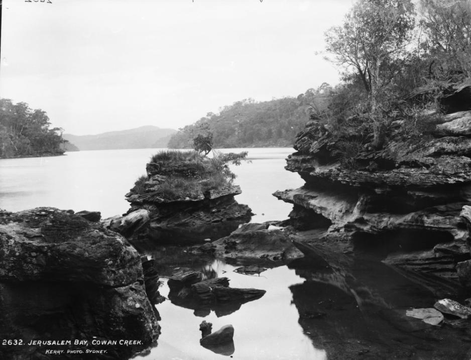
JERUSALEM BAY
Arm of Cowan Creek on the Northern side extending westward towards the village of Cowan. Shown on Surveyor Larmer’s notes in 1833 however, its origins are a mystery.
PINTA BAY
Pinta Bay is on the southern shore of Jerusalem Bay, an arm of Cowan Creek. It is shown as Trafalgar Bay in the 1950s. Pinta is possibly an older name as there is a Pinta Ridge above the bay. It could possibly be an Aboriginal name, meaning bamboo spear.
SYLVENA COVE (local name only)
Small cove near Jerusalem Bay. Origin of name unknown.
SHARK ROCK POINT
North shore of Cowan Creek, on southern entrance to Jerusalem Bay. Sharks are plentiful in Cowan Creek which is no doubt the origin on the name.
LITTLE JERUSALEM BAY
Small bay on northern shore of Cowan Creek, just upstream from entrance to Jerusalem Bay.
YEOMANS BAY
An arm of Cowan Creek running south from Cowan Point. Name appears on maps from 1881. Name may be associated with John Yeomans who had land at Sackville in 1803 and used to transport, by boat to Sydney, goods produced on the Hawkesbury River.
CASTLE BAY aka CASTLE LAGOON
North side of the entrance to Yeomans Bay. High at the entrance to the bay is a rock formation rather like a row of battlements.
DEVILS HOLE BAY
Small bay on southern shore just upstream from Yeomans Bay. Name either relates to rock formation on the shore or the deep water in the bay.
COAL and CANDLE CREEK
An arm on the southern side of Cowan Creek. The name was first recorded in 1879. Said to be a corruption of the name “Colin Campbell” who lived in the area. Colin Campbell was commissioned in 1900 to record Aboriginal engravings in the area, hence the name. There is evidence of an early house site on the shore opposite Akuna Bay.
ILLAWONG BAY
Small bay on the southern side of Coal & Candle Creek about 3kms from its entrance. It is said to mean, “inside two waters” or “view of the water”, but neither of these are confirmed.
AKUNA BAY
Near head of Coal and Candle Creek. An Aboriginal word meaning “flowing water”. Marina was opened in 1974.
COTTAGE POINT
The only residential area on Cowan Creek. Located on the southern shore the area has not always been known as Cottage Point. First known as Green Point. In about 1880, it was known as Terrey's Point, named after James Terrey, who built a holiday cottage there. In 1884, it was known as Gerrard Point. In the 1890s Edward Windybank built a cottage on the point for holiday makers to use and it became known as Cottage Point. From 1934, a bridle track provided land access to Cottage Point.
BOTANY BAY (local name only)
A small bay located just upstream from Cottage Point. Still part of the residential area of Cottage Point.
BABY BAY
Small bay on the northern shore of Cowan Creek, directly opposite Cottage Point and downstream from Looking Glass Bay. Named as such because it is one of the smallest bays on Cowan Creek.
LOOKING GLASS BAY
Looking Glass Bay is located on the opposite shore to Cottage Point. To the right is Looking Glass Rock which glows brightly with the dawn sun in summer. It is said that the local Aborigines believed that if the rock ever became submerged then it would be a sign that the Europeans would depart.
SWALLOW ROCK
A cliff on the north shore of Cowan Creek opposite the entrance to Smiths Creek. This rocky escarpment is known for its nesting swallows.
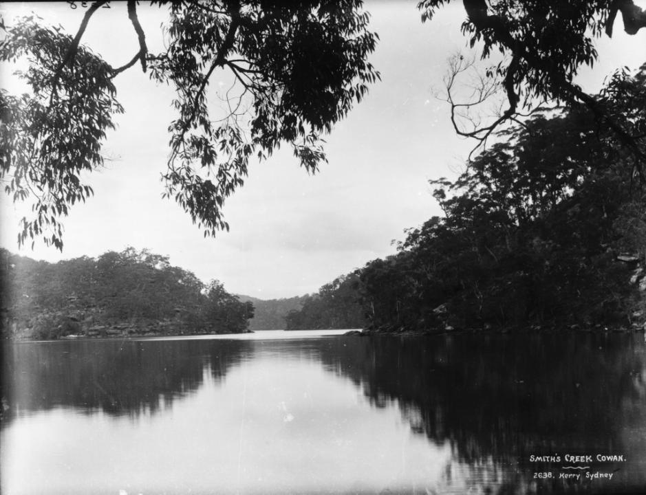
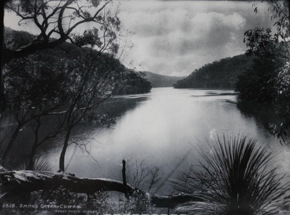
SMITHS CREEK
Upstream from Cottage Point. In 1828, Thomas Smith (aged 30) was working as a labourer to John Farrell in Pittwater. Shown on maps from 1894. William Angus, a Sydney coach builder, and Alfred Jacques, a solicitor, built a cottage (in 1883) and wharf at the end of Smiths Creek. Prior to the house the site was used as a camp from 1873 and was known as Tranquillo Camp. The structure was removed by NPWS in 1974.
STINGRAY BAY
Southern shore of Smiths Creek. Stingrays are common in Cowan Creek.
TWILIGHT INLET (local name only)
Southern shore of Smiths Creek. Also known as SNAPPER ROCK BAY, because snapper were plentiful in that area.
SPIRIT COVE (local name only)
Southern shore towards the end Smiths Creek.
KINDRED BAY (local name only)
Southern shore at the end of Smiths Creek.
CHAIN and ANCHOR BAY (local name only)
Located on eastern side of Cowan Creek opposite Chassam Cove. Received its name from the remnants of an anchor and chain that can still be seen in the south-western corner just off the sandbar.
CHASSAM COVE (local name only)
Located on western side of Cowan Creek just downstream from Waratah Bay. Origin of name unknown.
WARATAH BAY
Waratah Bay was obviously named, in 1894, for the abundance of this flower in the bushland around the bay. It is also known as Windybanks, after the first settler on Cowan Creek in 1888. Edward Windybank established himself in the bay on a lifetime lease. Initially he lived with his family in a cave above the bay, until he could build himself a house along with a boatshed and 60 boats for hire. Windybank also established a track from Berowra Railway station and number of houseboats being the first in NSW to offer this kind of accommodation to holidaymakers.
PEACH TREES
A point on the southern shore of Cowan Creek, opposite Waratah Bay. The native peach, Trema aspera, is a shrub or small tree with a toxic fruit. The inner bark produces a strong fibre which was used by early settlers to make cordage for their boats.
WAKEHAM INLET (local name only)
Eastern side of Cowan Creek and just upstream from Peach Trees.
COTTON TREE BAY
Located on eastern side of Cowan Creek, upstream from Cottage Point and opposite Lords Bay. The cotton tree is a species of Hibiscus found in moist coastal gullies. The fibre of the bark was used by the Aborigines for nets and fishing lines. Early settlers used it to make cordage.
HOUSEBOAT BAY
Located on the eastern shore of Cowan Creek opposite Appletree Bay. Once known as Wonderland Bay after the name of one of Windybank’s houseboats moored in that bay.
LORDS BAY
Next bay around from Waratah Bay. Abraham Parker Lord (1873-1912) was a marine engineer who worked on Windybank’s steam launch Lady Zara. It is understood he lived in the bay that took his name.
WINSON BAY
On western side of Cowan Creek, the next bay upstream from Lords Bay. Origin of name unknown.
APPLETREE BAY
Downstream from Bobbin Head on western shore of Cowan Creek. Named by surveyor Larmer in 1832. Larmer referred to angophora trees as “apple trees”. This tree is sometimes referred to as Sydney apple gums. This is what he named this bay after.
BOBBIN HEAD or BOBBIN HEAD POINT
Located where Cockle Creek meets Cowan Creek. The main recreation location on Cowan Creek as it is reachable by both boat and vehicle. Large areas of parklands and picnic spots which are also served by a marina/café/boat hire (eastern side) and kiosk (western side). Said to be named after a sight as the tide was rising and falling around a rock making it look like a bobbing head. In 1900, the area is recorded as Bobbin Rock. The rock can no longer be seen after the Marina was extended.
COCKLE CREEK
Also named Gibberagong Creek on some maps. Gibberagong is said to mean “plenty of rocks”. The road bridge at Bobbin Head goes over this creek.
FOLEYS BAY
This bay is where Cockle Creek joins Cowan Creek at Bobbin Head. Likely to be associated with John Foley, a wood cutter. However, there is also mention, in the 1832, “the path from Pennant Hills reaches the sea and joins the coastal road at the farm of one Foley, a tenant of Mr Wentworth”. This almost certainly refers to David Foley, who is listed in the 1828 census.
DUFFYS WHARF
Located about 1km upstream from Bobbin Head on the eastern shore of Cowan Creek is Duffys Wharf. This is sometimes referred to as Sledgehammer Inlet because of its shape. Constructed in the 1850s by Peter Duffy to load his timber taken from the surrounding forest. Not much of this wharf remains today.
From Man Made the City but God Made the Bush; a book detailing the history of early Berowra complied by Nathan Tilbury. Currently, sold out.
SCENES AT COWAN (KURING-GAI CHASE) , BROKEN BAY.
(Photos, by Kerry and Co.. George-street, Sydney.)
(See illustrations on this and next page.)
The illustrations of Kuring-Gai Chase give picturesque glimpses of wood and water, of rocky crags and creeping shadows, that steal across hill and valley on a spring afternoon. A national park, a perpetual gift to the people, Kuring-gai Chase is peculiarly the property of North Sydney. The title is a compound of aboriginal and English. The native name, followed by the word "Chase," shows that in the christening of places as well as children-we move forward in a circle.
In opening up new country In Australia, native and English words are generally favored with occasional lapses into "Wild West" descriptive phrase. Not far from one of the streams that branch off Narrabeen Creek you will find "Tumbledown Dick." Whether 'that is Dick's usual condition, or whether some hills near Pittwater poses a broken-down appearance frequently associated with gentlemen of the Dick Swiveller type, is best known to those acquainted with the locality. Coal and Candle Creek and Smith's Creek are both arms of Cowan Creek on its eastern side. Yeoman's Bay is a smaller estuary of the same deep-water inlet-Cowan Creek-which large steamers can navigate for nine miles up from its mouth to Bobbin Rock at within about three miles of the Sydney ten-mile boundary.
As it narrows to a finish, Cowan Creek divides into two parts. The south-westerly stream (described as one of the most charming spots in Kuring-Gai Chase) is called Gibberagong Creek. And here again the white man follows the black man. Gibberagong certainly suggest an alias, and there it is- ‘Cockle Creek’! For this little stream may be called by either name, according to taste. Coming up to the north-east of Cowan Creek is a fairly deep water inlet-Jerusalem Bay.
Kuring-Gai Chase contains about 35,000 acres, a good deal of which is hilly country, and "very abrupt rocky ranges of a general altitude of about 600ft above the sea level." On the map a good idea is gained of its deeply-indented shores, the water cutting it into a curious broken line, and in shape the land looks like a piece of paper, out of which a geological child has been snipping large pieces to take away as scientific samples. Approaching by steamer, and entering Broken Bay, the Upper Hawkesbury River takes a bold sweep to the north-west, the Lower Hawkesbury merging into Cowan Creek, with its deep estuaries. Almost due north and south-from Broken Bay-is the noble sheet of water named by Phillip "Pittwater." after the great statesman; for when he pushed his exploring parties further north and entered Broken Bay, he was much impressed by the beauty of this great inlet, and thinking it "the finest piece of water he had ever seen," decided that he would name it in honor of Pitt. From Newport to Barranjoey is the eastern land boundary of this estuary, and the formation of this tongue of land from Careel Bay ends in a neck which widens into a termination not unlike a flat cobra's head. This is Barranjoey. On the other side of Pittwater is the eastern shore of Kuring-Gai Chase, and passing its wooded promontories, at its northern extremity, you enter the waters of the Hawkesbury River. And here again the Chase is divided into sections, two of which-Cowan and Berowra-are almost divided from each other by Jerusalem Bay. On the other shore the section of Pittwater is indented by Coal and Candle Creek, which nearly cuts it through, to within a short distance of M'Carr's Creek, which falls into the southern extremity of Pittwater. From Wahroonga, Pymble, and Turramurra, there is a track through portion of the section known as Bobbin, by which it is possible to reach Kuring-Gai by land, but by the end of the year much greater facilities will be opened up to the general public who wish to reach this picturesque park. Colah, near Cockle and Cowan Creeks, is said to have a good road, by which the residents of Hornsby can drive to a highpoint of land overlooking Foley's Bay.
The Hawkesbury has often been called the "Australian Rhine." To dedicate to the people for all time its wooded shores, and the sparkling waters which intersect this national park, its bold headlands and shadowy valleys, and all the beauty of form and foliage comprised in Kuring-Gai Chase, would be a fitting ceremony to be performed by the first Governor-General of United Australia.
SCENES AT COWAN (KURING-GAI CHASE), BROKEN BAY. (1900, December 15). Australian Town and Country Journal(NSW : 1870 - 1907), p. 40. Retrieved from http://nla.gov.au/nla.news-article71388002
Please note that we found these same photographs on the Powerhouse Museum's fantastic Tyrell Collection on Flickr and have used these.
Also see Flagstaff Hill and The Namoi
COWAN BAY.
ENTRANCE TO COAL AND CANDLE CREEK, COWAN.
HEAD OF JERUSALEM BAY.
A BAY IN COWAN AND HOUSEBOAT.
VIEW NEAR MOUTH OF SMITH'S CREEK.
BAYVIEW, SMITH'S CREEK.
LONG BAY, COWAN.
LOOKING-GLASS ROCK, COWAN CREEK.
 The Tyrrell Collection consists of 7903 glass plate negatives from the studios of Charles Kerry (1857-1928) and Henry King (1855-1923) who had two of Sydney's principal photographic studios in the late 1800s and early 1900s. The collection was bought by the Sydney bookseller, James R. Tyrrell, in 1929 for a proposed floating ethnographic museum moored in Sydney Harbour. Although the museum never eventuated, Tyrrell kept the collection intact, eventually selling it in 1980 to Australian Consolidated Press who donated it to the museum in 1985.
All the photographs in the collection were intended for sale: first as prints, and later as postcards when the craze for collecting them began. Both Kerry and King also exhibited at international and intercolonial exhibitions.
Charles Kerry began his career as a photographer in about 1875, working for the Sydney portrait photographer, A.H. Lamartiniere, who absconded with all the money. By 1884, Kerry had taken over the business and had his studio at 308 George Street, Sydney. In 1890 he was appointed official photographer to the Governor of New South Wales, Lord Carrington. In addition to his portrait work, Kerry took on a number of government commissions, including travelling through New South Wales to photograph Aboriginal peoples, their camps and corroborees and taking detailed interior views of Jenolan Caves. Kerry's work was greatly facilitated by the invention of the dry-plate process in Europe in 1878. Where once photographs had to be developed on the spot, now they could be taken and developed later in the studio. Kerry's photographs of New South Wales were exhibited at the 1893 Chicago International Exhibition. By 1900 he supplied the bulk of all images to local newspapers. In 1913, Kerry retired to take up mining. Although his nephew took over the business, increased competition and changing tastes meant that Kerry & Co closed in 1917. He died at his home at Neutral Bay in 1928 shortly after returning from a trip to the Barrier Reef.
As of April 2008, many of the Tyrrell images are being progressively released to the Commons on Flickr. Everyone is encouraged to go on a journey of Australian places and events and to help name what is happening where and when.
Photo of Charles Kerry from 1928 Ski Year Book (he was also an avid snow sports promoter) See HERE
E. WINDYBANK, PIONEER OF COWAN
Died last week at Patonga Beach, the pioneer of what is stupidly called Cowan Creek. The word 'creek’ suggests to most of us a small water-course, across which one might throw a biscuit, whereas, it is m reality a series of very beautiful sounds,. 50 to 60 feet deep, with no shoals or sandbanks. Each sound is girt about with everlasting hills, wooded to the water's edge. The Windybanks have now numerous cottages and houseboats, but 45 years ago, Windybank built his first boat, carrying the timber on his back across the mountains. He amused himself, between his rowing to Hawkesbury on a raft, buying old steamers and dismantling them —even to the boilers, unaided — by writing doggerel verse, and painting pictures —hung on the line of his own Royal Academy. A houseboat and a motor launch on the Cowan Sounds provide an ideal holiday — four miles from Broken Bay, five from Hawkesbury, and three from Bobbin Head. E. WINDYBANK, PIONEER OF COWAN. (1928, February 19).Sunday Times (Sydney, NSW : 1895 - 1930), p. 47. Retrieved from http://nla.gov.au/nla.news-article122807989
FISHING NOTES (By 'GLAUCUS.')
I HAVE just had an interesting stay at Cowan Creek on one of the houseboats in that popular resort, Mr. S. Baldock having kindly placed his neat little boat at my disposal. Ned Windybank also assisted to make the trip a pleasant one with his kindly hospitality, so while the city folk were wondering what kind of winter was coming on top of the coastal gales, I was putting In a quiet, healthful stay in the sheltered creek. It is strange that so few people know anything about life on a houseboat. It is such a free and easy life that it should specially appeal to Australians. It is far preferable to camping in a tent, and one can safely take children on to the roomy boats. Mr. Baldock's house on the water is at Coal and Candle Bay, near one of the best grounds for schnapper in the whole of the deep water of Cowan. It has been well planned and constructed, and is very suitable for a small party of half a dozen men. It represents a good many hours of labor by a busy man In his spare time, and when completely finished will be as comfortable a temporary home as one could wish for. It is small, but then it has not been built for a large crowd, and the men who use it are all fond of fishing, and really only require the place for the night. Ned Windybank's fine Fairyland is near, and there is a plentiful supply of water in the creek a hundred yards away. I only succeeded in raising one of the Cowan schnapper, a five pounder, that provided a tasty meal for the family, but there were plenty of small fish in the place. A large skate was the first fish to be grilled. The flaps of a twelve pounder made two excellent meals. The leather-Jackets are very plentiful and are of all colors. They are as razor toothed as ever. The skate tasted like tender lobster, and was a decided success. FISHING NOTES. (1903, June 3). Referee (Sydney, NSW : 1886 - 1939), p. 6. Retrieved from http://nla.gov.au/nla.news-article120664475
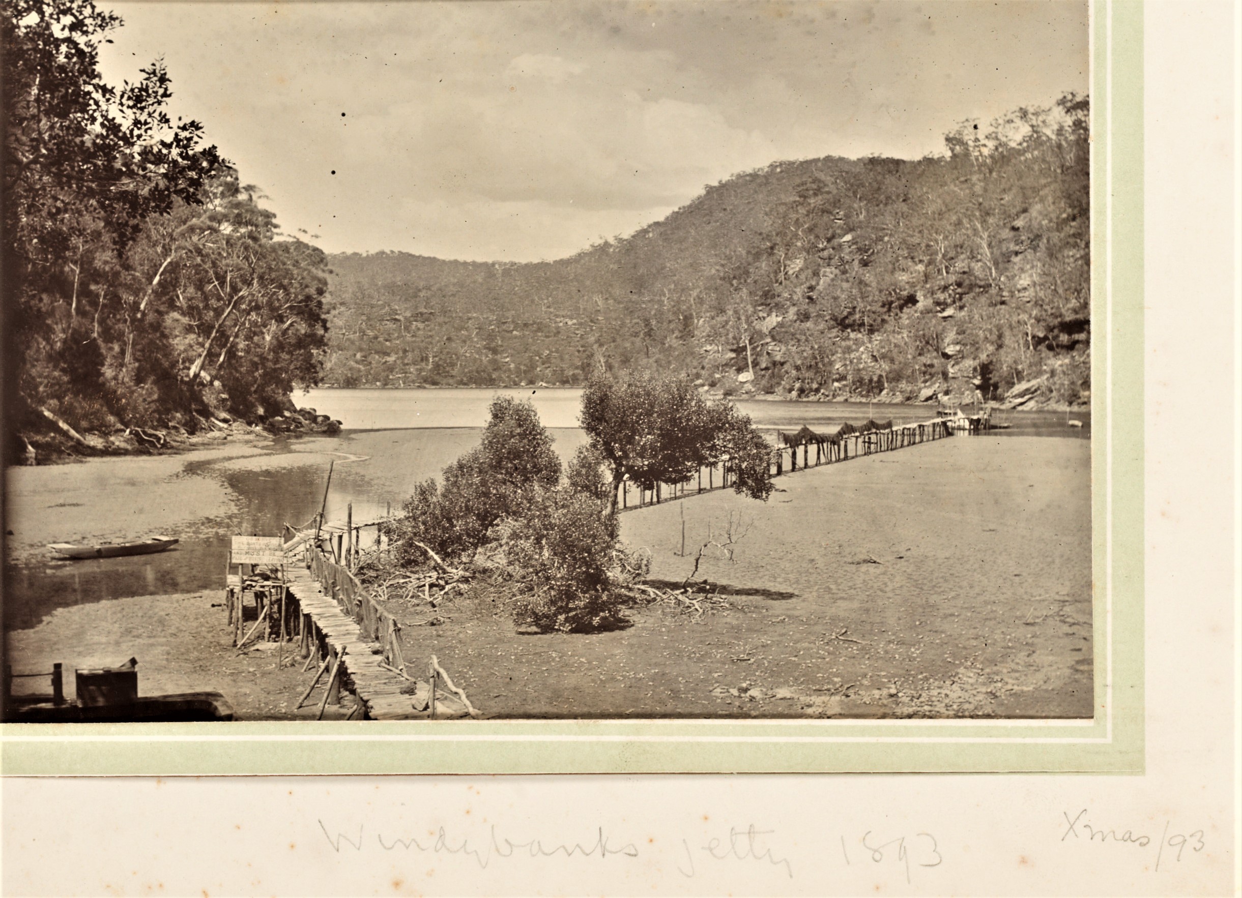
4. Windybank's Jetty 1893. Xmas '93 - Item: c051620010
More in: Pittwater’s Parallel Estuary: The Cowan ‘Creek’ - Issue 145, January 2014
And: Pittwater's Lone Rangers - 120 Years of Ku-Ring-Gai Chase and the Men of Flowers Inspired by Eccleston Du Faur - Issue 165, June 2014
And: Harry Wolstenholme; June 21, 1868 - October 14, 1930, Ornithologist Of Palm Beach, Bird Man Of Wahroonga - Issue 470, October 2020
Terrey Hills
Terrey Hills owes its name to the two original land holders Samuel Hills and Obediah James Terrey. Obediah Terrey acquired 640 acres (2.6 km2) in 1881 and Samuel Hills owned 100 acres (0.40 km2) nearby. Unfortunately Obediah passed away quite young and his father and or/ brothers became the holders of the land.
As far as is known, George Caley, a Yorkshireman and the first botanist appointed to the colony (initiated by Sir Joseph Banks) was also the first white man to step on to the fringes 3 of what is now Terrey Hills. In 1805 he set out from Pennant Hills to explore the northern districts. In his Journal of a Journey to the Sea, now in the Mitchell Library, he described how he travelled across a valley to a ridge - possibly near the present Mona Vale Road - then climbed to a high point, which would have been in the vicinity of Terrey Hills, naming it Sea Sight Hill' for obvious reasons. On this journey, as he approached what we now know as Narrabeen, he noticed grass closely related to sugar cane, which was subsequently used to thatch roofs in Sydney Town.
The Timbergetters
The new settlement of Sydney was desperately short of timber so, naturally, the authorities were delighted when Caley and others reported the existence of forests of giant trees suitable for all types of building. Of particular value were the great turpentines, which resisted wood devouring insects such as the teredo worm, rendering them ideal for wharf and bridge building. The Ku-ring-gai (northern Lane Cove) district was the first to succumb to the sawyer's axe with Duffys Forest and Terrey Hills remaining relatively undisturbed until 1832 when the area was traversed from the 'new' Pitt Water Road (now Mona Vale Road) by surveyor Larmer during his survey of Cowan Waters.
In 1856 a large area within the forest was offered for sale and a track, following Larmer's path from Pitt Water Road (along what is now Booralie Road to Ku-ring-gai Chase) pushed through for the public auction. No one was interested.
The government, increasingly desperate for timber, decided to grant the land to those willing to cut the timber and transport it to Sydney Town. In 1857 the first grantee, Peter Joseph Duffy, received 100 acres (40.5 hectares). Twenty-one years later 184 acres (75 hectares) were sold to J. Thompson, J .J. Eaton and F. Kirkpatrick, for £1 per acre. In 1883 Peter's brother, Patrick Michael Duffy received a grant of 40 acres (16 hectares), 'Portion 50 - a branch off Smith's Creek'. The whole area from Cowan Waters to Tumbledown Dick Hill was known as Duffys Forest until 1894 and the dedication of Ku-ring-gai Chase National Park, which formed its three new boundaries.
In 1934, the eastern portion became known, officially, as Terrey Hills.
Source: THE HISTORY OF DUFFYS FOREST BY JIM BOYCE – from; https://duffysforest.com/history-of-duffys-forest/
IN THE SUPREME COURT OF NEW SOUTH WALES.-Probate Jurisdiction.-In the Estate of OBEDIAH TERREY, late of Kiama, in the colony of New South Wales, Farmer, deceased, intestate.-Application will be made after fourteen days from the publication hereof-that Administration de bonis non of the Estate of the abovenamed deceased may be granted to JAMES TERREY and PHILIP SPIES, the Executors of the Will of JAMES TERREY, late of Waverley, in the said colony, deceased, the father of the said OBEDIAH TERREY, deceased, ALL creditors are hereby requested to send in particulars of their claims to the undersigned within the said period of fourteen day». Notice is also hereby given that application will be made to dispense with the usual Administration Bond. And all notices may be served at the office of the undersigned. T. J. DICKSON, Proctor for the applicants, 127 King-street, Sydney. Advertising (1900, August 3). The Sydney Morning Herald (NSW : 1842 - 1954), p. 1. Retrieved from http://nla.gov.au/nla.news-article14328038
Obadiah Terrey 1863 (?) to March 2, 1892 - a land grant this size at age 18 or aged 19?? - he wasn't even of legal age, as it was then, being younger than 21.
Birth per NSW BDM's: TERREY OBEDIAH Registration number 4041/1862 Father's Given name(s) JAMES Mother's Given name(s) MARYANN District ST LEONARDS
THE FUNERAL of the late OBADIAH TERREY will take place from Dr. Terrey's residence, Kiama, THIS (Thursday ) AFTERNOON, at 3. Family Notices (1892, March 3). The Sydney Morning Herald (NSW : 1842 - 1954), p. 10. Retrieved from http://nla.gov.au/nla.news-article13866775
TERREY.--March 2, at the residence of his brother, Dr. C. Terrey, Kiama, Obadiah Terrey, fourth son of James Terrey, of Mamhead, Bondi, aged 29. Family Notices (1892, March 5). The Sydney Morning Herald (NSW : 1842 - 1954), p. 1. Retrieved from http://nla.gov.au/nla.news-article13854759
TRIBUTE OF RESPECT TO THE LATE MR. O. TERREY.
As a tribute of respect from the members of the Kiama Cricket Club to their late comrade, Mr. Obadiah Terrey (says the Kiama Independent), a beautiful wreath of white flowers, mingled with ferns, obtained from the firm of Messrs. Searle and Sons, of Sydney, was for warded on the day of the burial to deceased's late residence, by Mr. A. G. Russell, on behalf of the club. The colors of the club were attached to the wreath, worked with ribbons, surmounted by the initials, the latter being wrought in black velvet. The wreath was the object of special regard and admiration by the mother of deceased, Mrs. Terrey, who, on her departure for Sydney, took it with her as a token of the esteem in which her late son had been held by his fellow-comrades of the cricket field. TRIBUTE OF RESPECT TO THE LATE MR. O. TERREY. (1892, March 10). Illawarra Mercury (Wollongong, NSW : 1856 - 1950), p. 4. Retrieved from http://nla.gov.au/nla.news-article132290484
Terrey Family
- James Terrey, II - father (around 1822-1899) born in Berkshire, England
- Margaret Terrey (nee Robertson) - mother (born 1827 in Scotland - 1905) married James on 19 December 1848,here
- James Terrey, III - brother
- Hedley Terrey - brother
- Anne Fox - sister
- Joshua Terrey - brother
- Keziah Terrey, II - sister
- Alexander Terrey - brother
- Amos Terrey - brother
- Caleb Terrey - brother
- Keziah Terrey, I - sister
- Millicent Terrey - sister
Other sources state James Terrey, had 100 acres, now the site of the Pymble Golf Course. Mr. Terrey also owned 640 acres further east, owned for a few years by his son 'Obadiah' prior to his early death, and later named after James Terrey - Terrey Hills - as well as land at Cottage Point.
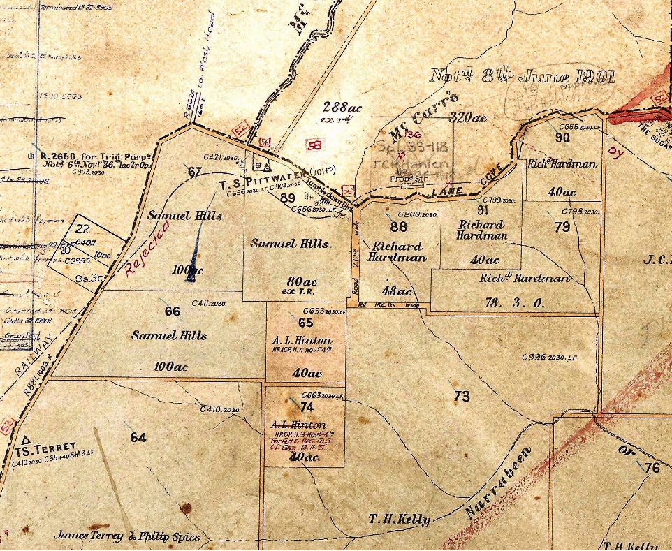
Photo: sections from 1905 Parish Map of Narrabeen showing railway dotted line - that was rejected - and 'The Sugarloaf - this section at Terrey Hills part of map also shows 'James Terrey & Philip Spies' owning section of 640 acres previously held by Obadiah Terrey - Below map was Proclaimed April 22nd 1886:
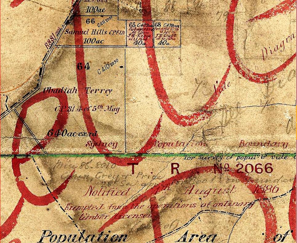
More in: Roads To Pittwater: The Mona Vale Road

Shingle splitting Middle Harbour from 'Sydney Harbour : views of Middle and North Harbour bays and foreshores, including Quarantine Station, North Head' DATE approximately 1870s , Mitchell Library, State Library of New South Wales. More in: Historic Heritage listed Bantry Bay Explosives Depot at middle harbor falling into disrepair from long neglect
Ingleside
Ingleside House and the Powderworks Factory
Most famous of the Ingleside's early landholders was Carl von Bieren, a Dutch American chemist who arrived in Sydney in 1882. On January 11th, 1883, he selected 320 acres at Narrabeen as a conditional purchase for the construction of a powder works factory. This land was Portion 81 of the parish and later measured at 249 acres.
Accounts of von Bieren’s background vary and sometimes he used the Dutch surname Van Buren, suggesting a connection with the prestigious Van Buren family of New York. Most accounts, however, indicate that he graduated as a chemist from Heidelberg University and was formerly proprietor of the Philadelphia power mills, Pennsylvania. There was also an association with San Francisco where the word 'Ingleside', after which he named his home, may have originated from. That city certainly has a long and still celebrated history of its 'Ingleside Terrace Houses'.
During 1883–1884 von Bieren cleared over five acres of dense vegetation and built the home name Ingleside House and from which. the suburb of Ingleside was named.
And even ‘Australia’s Gunpowder Plot’ published in 1949 in a Australia still reeling from the effects of World War II which states the whole powder works factory was simply an elaborate ‘cover up’ to collect and export a resin made from grass trees and that the man in question was a German spy.
Either way, and even through enjoying all the speculations, this man had a dream and he built it. Those living around him, considering the numerous records of other powder mills blowing up during these years, may be fortunate he either ran out of money, investors or incurred the envy of those not so energetic in making things manifest. His dreams have left us with Powderworks road and the name of one of our lovelier and greener suburbs. Considering Ingleside’s meaning is; ‘The area immediately surrounding a fireplace or hearth’, we may wonder if this man also had a sense of humour in his naming of his home beside a powder works or simply yearned to have what then slipped away; a dreaming place among green fields, a home.
More in:
- Ingleside Powder Mill - Pittwater Fields of Dreams I
- Waratah Farm and Narrabeen Plums: Pittwater Fields of Dreams II
- St Cloud's Jersey Stud: Elanora Heights: Pittwater Fields of Dreams
- Elanora - A Beautiful View from Which to Catch the Sea Breeze - Some Early Notes and Pictures
- Pittwater Roads II: Where The Streets Have Your Name - 'Green Hills', Elanora Heights, and Ingleside
.jpg?timestamp=1570144050514)
.jpg?timestamp=1570144077512)
.jpg?timestamp=1570144130410)
.jpg?timestamp=1570144155794)
Elanora Heights
Formerly named ''Green Hills'' in parts closest to Narrabeen Lagoon and floodplain.
Elanora was aimed at investors as a 'country retreat'. The name Elanora Heights is stated by some sources to be derived from an Aboriginal word meaning "home by the sea" or "home by the water" and the word Heights meaning "Up high".
Elanora is a word that appears throughout Australia, many holiday and boarding houses places being named 'Elanora' in Victoria and Queensland during the same era it emerged as a name for this place in Pittwater during land sales. There is a suburb in Queensland that is similarly named.
Eleanor as a name also has a place in Old French with variants stemming from the 12th century of 'Eleanora, Eleanore, Elenora, Elinor, Elnora' - in this context the name has a meaning of 'Light, Torch, Bright' - so people may also conjecture that the early history and associations of people who passed this way, including some of the Frenchmen such as Lix and Houreaux leaving echoes of their culture in their wake (see Yabbying in Warriewood's Creeks) - or even Von Bieren who may once have lit up the hills above the valley with light, or even a reference to the stunning light that does fill this place and its vista seawards, may also have inspired this naming.
There is no direct link to any language of the original aboriginal people who inhabited this particular place and the name given, few of those words survive and this isn't among them.
In terms of street names these suburbs of Pittwater have the least amount of honouring of family members among developers. The focus was more on what was there when they started their subdivisions, Powder Works Road for example, and the natural attributes of the place, shown in 'Waratah' street and others named for local flora, as well as an honouring of the original inhabitants - 'Taiyul' for example is the indigenous word for 'Hill' from the Kamilaroi language of New South Wales.
This brochure, with its wonderful photographs, lend an insight into how this area alongside Powderworks road and down to Narrabeen Lagoon looked then - we even get a view out over the Pittwater road of 1911:
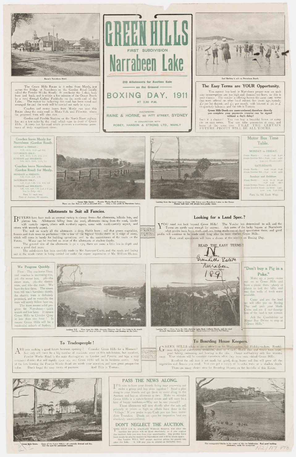
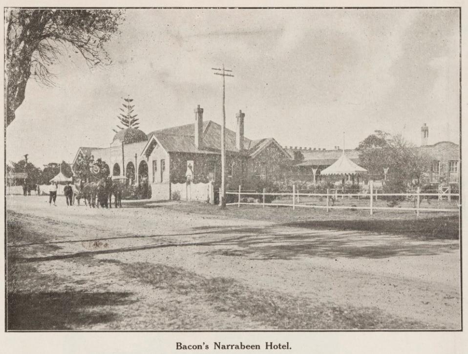
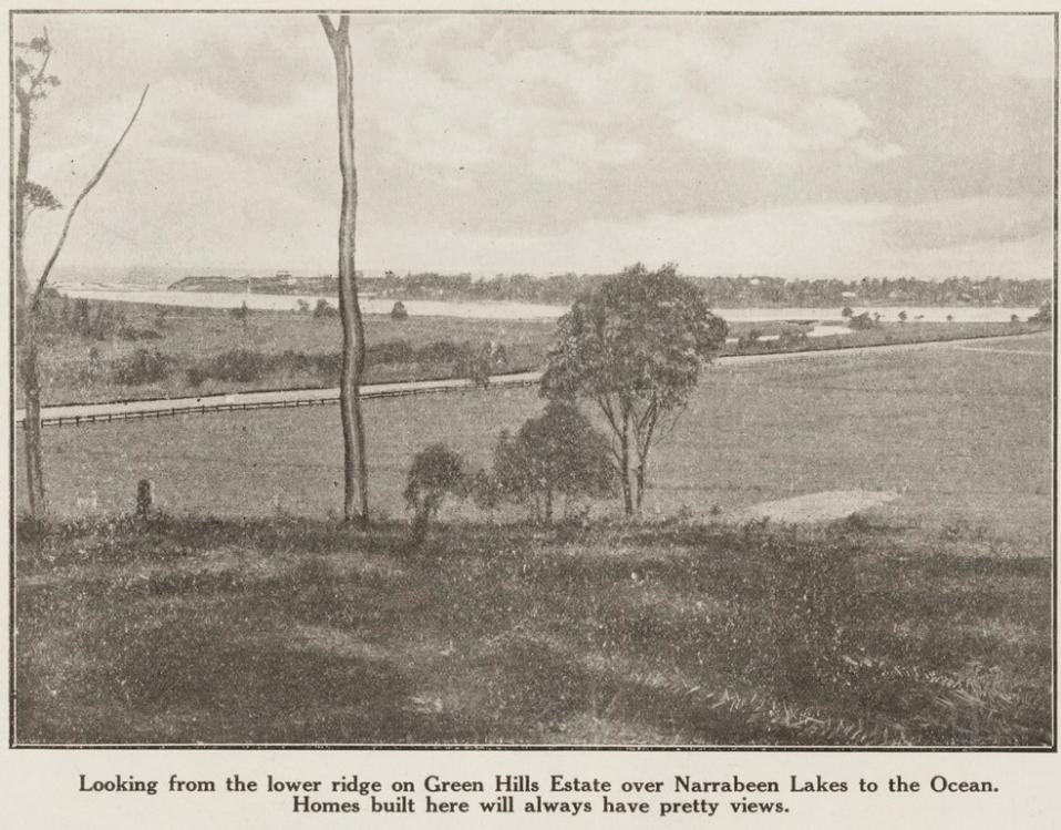
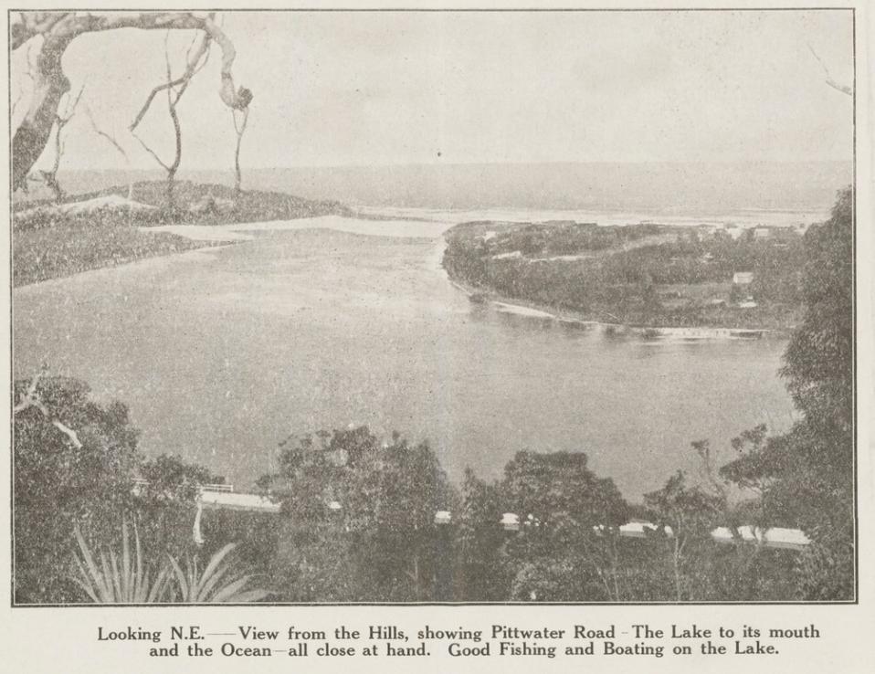
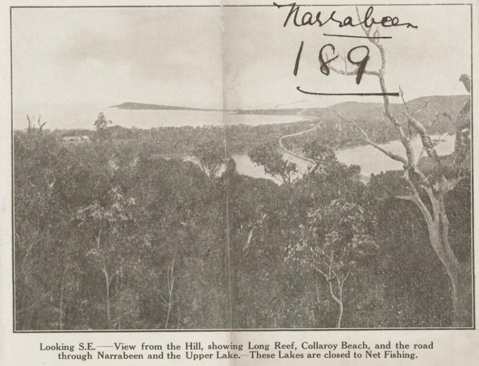
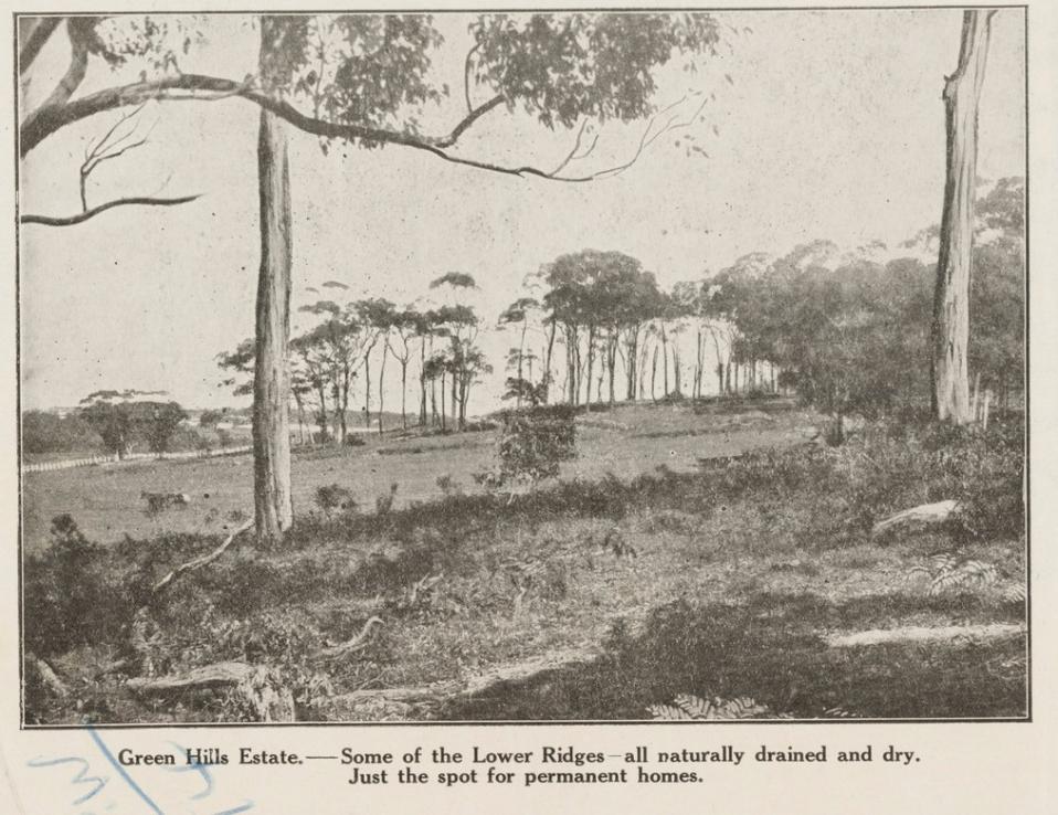
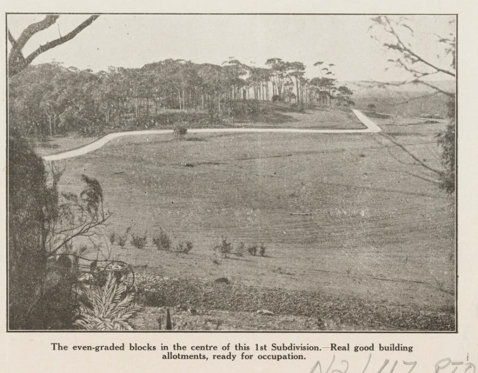
.jpg?timestamp=1561514007780)
.jpg?timestamp=1561514076490)
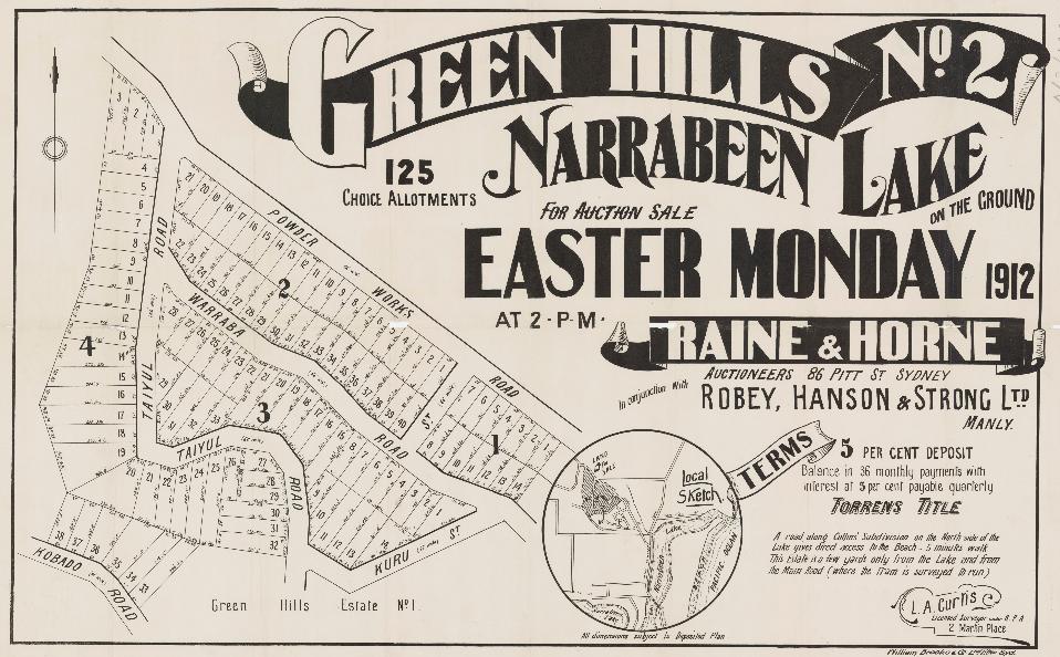
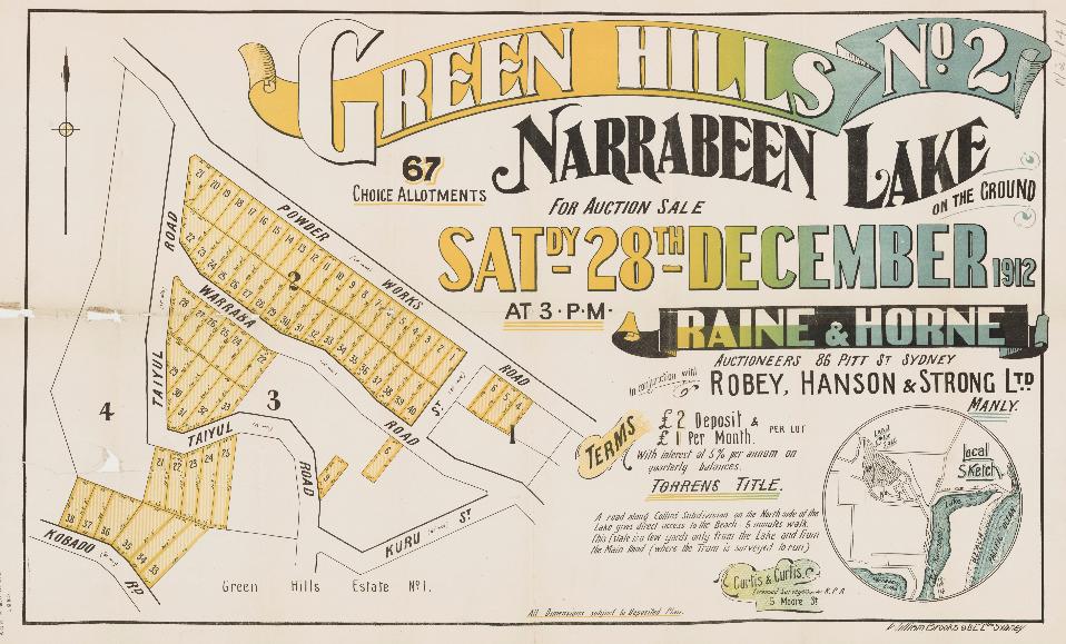
‘The first subdivision sale of the famous and much-sought-after Narrabeen land is at last announced. Many people who desire a seaside block have been waiting to see how the land at Narrabeen will sell, and in view of the success attained at Cronulla it is generally believed that Narrabeen will quite hold Its own with any of the ocean beach subdivisions. Boxing Day has been chosen for the first sale, when Messrs. Raine and Horne will submit the Greenhills Estate, a subdivision which contains elevated home sites with splendid ocean views. The survey has been completed, and plans are now in course of preparation.
In the same district, Messrs. Hardie and Gorman will on New Year's Day submit the Kyles of Bute Estate at Bayview, Pittwater. It is called after one of the most picturesque spots In Scotland, and the owner, who Is a "Scot," says this land, more commonly known as Baker's Orchard, always reminds him of the famous watering-place in his native heath, and this accounts for the name. There is only the road between the land and the beach.
Messrs. Richardson and Wrench have their usual two sales this afternoon. ...The Paragon Estate at Pymble is also to be offered by the firm. The land is on the heights above the station, and 12 minutes' walk from it. The proposed route of the Narrabeen railway passes the property. REAL ESTATE. NOTES OF THE WEEK. (1911, November 18). The Sydney Morning Herald (NSW : 1842 - 1954), p. 13. Retrieved from http://nla.gov.au/nla.news-article15289911’
No. 17,037. APPLICANTS :—George Scales and David Lindesay Aitken, both Sydney. LAND : — County Cumberland, parish Manly Cove, shire Warringah, 96 acres 2 roods 7 1/4 acres, on Narrabeen Creek, near Narrabeen Lagoon,—land granted as 30 acres (portion 51 of parish), to James Wheeler, and 50 acres (portion 48 of parish), to John William Alexander White; adjoining property of estate late T. H. Kelly and Crown Land. NOTICE UNDER REAL PROPERTY ACT. (1912, April 10). Government Gazette of the State of New South Wales (Sydney, NSW : 1901 - 2001), p. 2230. Retrieved from http://nla.gov.au/nla.news-article227591158
In 1924:
LINGHAM & GILFORD MANLY'S Leading Real Estate Agents for sound investments .WE WISH. TO PLACE BEFORE. YOU ELANORA ESTATE (NARRABEEN) An Estate where large profits are certain. - Narrabeen- Is fast becoming another Manly . Further particulars from our AGENT who knows The Estate— W. J. THOMAS, Narrabri. Advertising. (1924, July 3). The North Western Courier(Narrabri, NSW : 1913 - 1955), p. 3. Retrieved from http://nla.gov.au/nla.news-article133467250
ELANORA ESTATE
We wish to draw attention to a notice in our business columns advertising the Elanora Estate, Narrabeen, near Manly. Land in this locality has proved itself to be far ahead of any other part of the metropolis for sound investment, and with the advent of the North Shore Bridge, the Spit Bridge, and the Gordon to Narrabeen railway, which will run right past the estate, will undoubtedly make Narrabeen, with its picturesque lake, good surfing beach, and panoramic scenery, one of the most popular and valuable suburbs of Sydney. Messrs Lingham and Gilford, land and estate agents, Manly, are the city agents. Mr F. H. Hewitt is the local agent. ELANORA ESTATE. (1924, August 5).Singleton Argus (NSW : 1880 - 1954) , p. 2. Retrieved from http://nla.gov.au/nla.news-article80954701
More in:
- Ingleside Powder Mill - Pittwater Fields of Dreams I
- Waratah Farm and Narrabeen Plums: Pittwater Fields of Dreams II
- St Cloud's Jersey Stud: Elanora Heights: Pittwater Fields of Dreams
- Elanora - A Beautiful View from Which to Catch the Sea Breeze - Some Early Notes and Pictures
- Pittwater Roads II: Where The Streets Have Your Name - 'Green Hills', Elanora Heights, and Ingleside
Church Point
Named after the church that once stood here, and formerly known as 'Chapel Point'.
Placed where Pittwater road merges with Mc Carr’s Creek road on the high side, and overlooking Pittwater, one of our earliest landmarks was a wooden chapel constructed to serve the people of Bayview and Church Point. Measuring 25 feet by 18 feet and built in 1872 a congregation moved from services under loquat trees to hymns within this structure. By 1881 the building was utilised as a school for 22 children and was called the Provisional School, changing in name to the Pittwater Public School in 1884.
The structure is reported to have given its name to the land as ‘Chapel Point’. The Aboriginal name is recorded as ‘Whurra Whurra’ although this is listed elsewhere as meaning ‘go away’ and ‘go home’ and may have been misinterpreted. In 1888 a school opened a short way along the road at Bay View Road and the church ceased to be used as a schoolroom.
The initial wharf was built in 1885 by William Boulton or his son of the same name; farmer of Mona Vale - Newport, coach driver and Publican of Newport Hotel:
THE following tenders were opened by the Tender Board at the Public Works Department yesterday: Wharf at Church Point, Pittwater. NEWS OF THE DAY. (1884, December 10). The Sydney Morning Herald (NSW : 1842 - 1954), p. 9. Retrieved from http://nla.gov.au/nla.news-article13581494
Accepted tenders: William Boulton, construction of wharf at Church Point, Pittwater. GOVERNMENT GAZETTE. (1884, December 31). The Sydney Morning Herald (NSW : 1842 - 1954), p. 6. Retrieved from http://nla.gov.au/nla.news-article13578833
The completion of the Government wharf at Church Point, Pitt water, will prove a great benefit to the residents in that district. The wharf is a substantial wooden structure, and boats drawing 11 feet of water will be able to come alongside at high tide. The population in the neighbourhood of Pittwater is rapidly increasing, and it is understood that the Government intend building a Public school to accommodate 50 pupils. Fruit-growing promises to be the leading industry in that locality. A considerable area of land is being planted with fruit trees. NEWS OF THE DAY. (1885, July 4). The Sydney Morning Herald (NSW : 1842 - 1954), p. 11. Retrieved from http://nla.gov.au/nla.news-article13592258
The church was removed in 1932:
Church Point. The same year, a probationer in his third year, the Rev. Edward J. Rodd was beginning his two years' term at St. Leonard. His circuit extended to Pittwater, and that year the Church Point Church was erected at a cost of £60. The erection of the church was accomplished through the efforts of Messrs. Geo. McIntosh and Wm. Henry McKeown, who conducted services at Bayview under a tree. Mr. William Oliver gave the site. In many early records it is spoken of as Chapel Point Church. For several years it was used as a public school, and Sir Henry Parkes' signature appears in the old visitor's book. Where is that book now? Diamond Jubilee. (1932, December 17). The Methodist(Sydney, NSW : 1892 - 1954), p. 16. Retrieved from http://nla.gov.au/nla.news-article155292368
AT CHURCH POINT
On the precipitous slopes of the hillside overlooking the quiet backwater of Pittwater, and shaded by the silver coated gums, stands the little wooden church that gave Church Point its name. It is a quaint little structure in which a service is held occasionally, and I should think that ten people would crowd It. It has a tower bell. It looked up at the church from the road that winds round the waterside, and 'Johnnie' Roche, the man they call the 'Prince of Pittwater’— -who was my companion, asked me If I had seen the church yard. We scrambled up past the church, and then, among the rank grass and ever-spreading scrub, found the stones that mark the dust of the 'Rude forefathers of the hamlet.' Beside one weatherworn stones 'Johnnie' paused, and spoke to himself rather than to me. 'He was a relative of the teacher at the little school we got a holiday, I remember, to attend this funeral.' In this quiet spot rest many that were friends of my companion in his boyhood. The muter gardeners Time and Mature are gradually repairing this small 'God's Acre,' and the few graves are being gradually lost to human ken. Meanwhile the waters of the Bay lap the sand-fringed road, and motor parties Indicate that to-day is the day of the quick. The dead are of the past. Church Point. AT CHURCH POINT. (1922, November 23). Evening News(Sydney, NSW : 1869 - 1931), p. 8. Retrieved from http://nla.gov.au/nla.news-article118825051
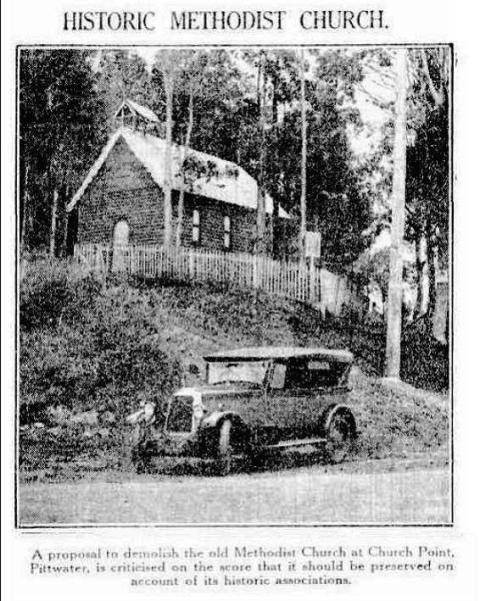
HISTORIC METHODIST CHURCH. (1930, March 19). The Sydney Morning Herald(NSW : 1842 - 1954), p. 16. Retrieved from http://nla.gov.au/nla.news-article16634674
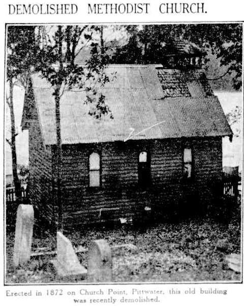
DEMOLISHED METHODIST CHURCH. Erected in 1872 on Church Point, Pittwater, this old building was recently demolished. DEMOLISHED METHODIST CHURCH. (1932, April 7). The Sydney Morning Herald (NSW : 1842 - 1954), p. 12. Retrieved from http://nla.gov.au/nla.news-article16853823
More in:
- Methodist Church at Church Point
- Church Point Wharf
- The Riddles of The Spit and Bayview/Church Point: sailors, boat makers, road pavers and winning rowers
- Church Point and Bayview: A Pittwater Public School Set on the Estuary
- 'Longa Linga' At Church Point - The John Lander Browne Pre-WWII Designed Linear Home For An Aunt
- Pittwater Roads II: Where The Streets Have Your Name - Church Point
- Church Point, Pittwater: Winter 2023 + Some Photos and Snippets From The Past
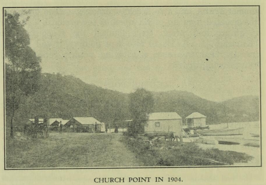
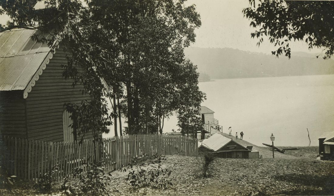
Church Point, Pitt Water, 20 mins n. from Syd. by A. J. Vogan (Arthur James), 1859-1948, photographer. [ca. 1910 - ca. 1915], courtesy State Library of Victoria, Image No.: H82.254/8/29
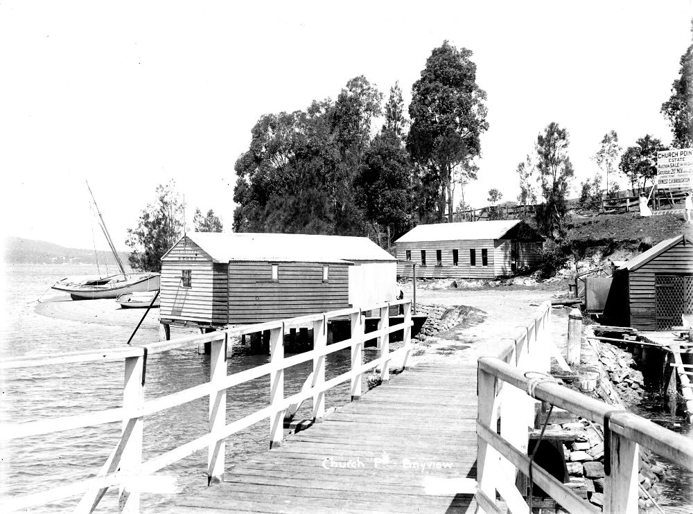
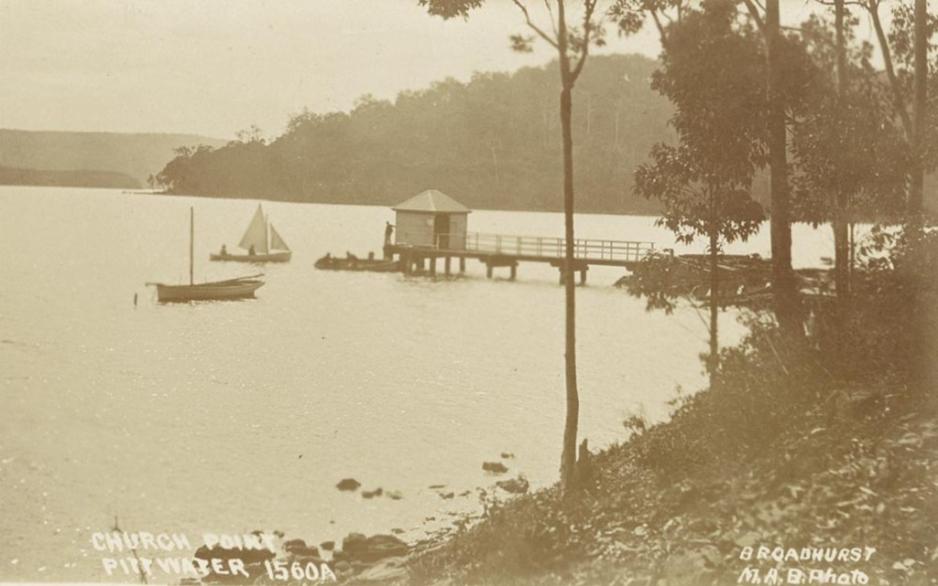
'Church Point, Pittwater'. Digital Order No. a106164 ca. 1900-1927, Sydney & Ashfield : Broadhurst Post Card Publishers. Courtesy State Library of NSW
Elvina Bay
Named by Herbert James Fitzpatrick
The story of the first Scotland Island Race and Cup is also a story about a man who came from rural stock with builders on the maternal side of his family (Finneran )and his wife’s maternal side (Grandfather – Stephen Gattenhof) who was instrumental in excavating a road into Salt Pan, so loved Scotland Island and Elvina Bay that his daughter, named ‘Elvina Elizabeth’ after her mother’s sister ’, as well as a cruiser later on, may be the inspiration for that beautiful bay’s name and seemed determined to help Pittwater become established as the place to go to, in part due to setting up a company, 'Scotland Island Estates, Ltd’.
Herbert James Fitzpatrick was listed as a 'builder' and developer on a large scale in Pittwater. He was the owner of various property and lands at Scotland Island and Church Point, as well as Elvina. He was a RMYC Commodore, Broken Bay and a committee member on the RPAYC as well as secretary for the Pittwater Regattas when John Roche was ill during the mid -1920’s. A consummate sailor who owned legendary racer the Bona, Mr. Fitzpatrick died quite young, at Manly, in 1938, after a 'long term' illness.
What is notable when perusing the records collected here is that ‘Harry’ was a nickname for men christened ‘Herbert’ during the 1920’s. and even later, and this may indicate why there could be confusion between 'H. J. Fitzpatrick's.
A first note in a life filled to the brim with activity, and a race named for Scotland Island, harks back to the formative days of the Royal Prince Alfred Yacht club, decades before the ‘Royal’ prefix, and may be indicative of a policy carried forwrad by Pittwater’s two larger aquatic clubs, the RMYC and the RPAYC:
His wife Florence brought with her the then young daughter of her sister Elvina, Ethel 'Pat' Noonan. This sister and Herbert's own mother's name of 'Elizabeth' were honoured in the naming of their daughter:
FITZPATRICK.-September 25, at the Crescent private hospital, Manly, to Mr. and Mrs. H. J. Fitzpatrick, of Pittwater, Lennox-street, Mosman-a daughter (Elvina Elizabeth). Family Notices. (1925, October 14). The Sydney Morning Herald (NSW : 1842 - 1954), p. 14. Retrieved from http://nla.gov.au/nla.news-article16248361
An email from a relative:
I can confirm for you that Herbert did name Elvina Bay. I have an article written by my aunt Elvina Holmes in August 1986 called ‘Surprise Surprise The story of Scotland Island’. She wrote this article at the request of Father Carol Grew a priest from the Diocese of Broken Bay for his parish magazine….she met Father Grew at a catechists mass and advised him of her links to the area.
In this article Elvina states that Herbert met Florence while she was visiting her sister Elvina Noonan in hospital the same time as Herbert, as Elvina Noonan was his neighbour and friend. Elvina Noonan died on 1st July 1922 and Herbert and Florence married in December 1923. They honeymooned on Scotland Island in a very small fibro cottage.
“It was at this time that all the streets on the Island were named after members of both families (with the exception of Thompson St and Robertson Road). As Herbert bought and developed more areas around Pittwater, Newport and Avalon, more streets and parks were named after members of the families. It is no wonder that he named Elvina Bay after the lady who had been responsible for him meeting his wife.”
I can also add that Geoff (youngest child of Herbert and Florence) also called his eldest child Elvina. Kay Morrell, a granddaughter of Herbert, Thursday 27th of February, 2014
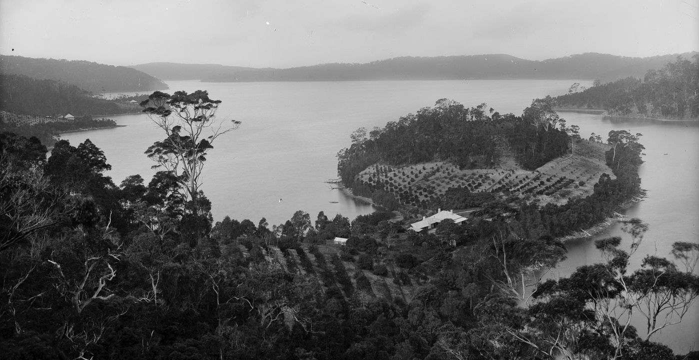
'At Pittwater' by Charles Kerry, circa 1887-1888. From Tyrell Collection, courtesy Powerhouse Museum
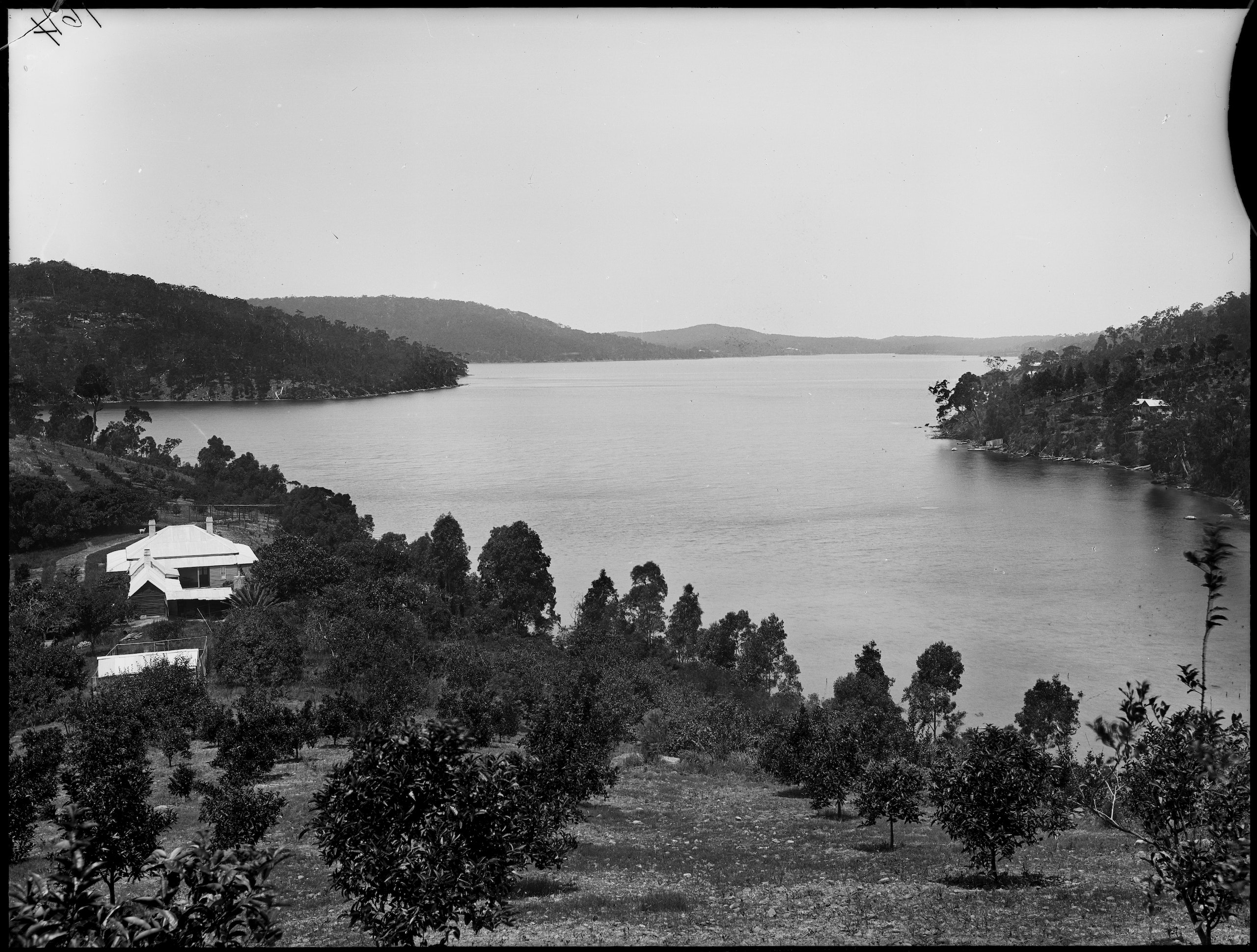
'Pittwater, Broken Bay' by Charles Kerry, circa 1887-1888. From Tyrell Collection, courtesy Powerhouse Museum
More in:
- The First Scotland Island Cup, Trophy and Race and the Gentleman who loved Elvina Bay
- Pittwater Summer Houses: Rocky Point And Elvina Bay Peninsula - A Place Of Holiday Songs And Operas In Ventnor, Fairhaven, Trincomalee and Maritana
Recent photos, one example below, available in; Elvina Bay Walking Track: Spring 2020- Photos By Joe Mills
.jpg?timestamp=1600303576211)
Lovett Bay
Lovett Bay was named after John Lovett who settled there in 1836. William Oliver established a farm at Rocky point between Elvina Bay and Lovett Bay in 1842. By 1837 most remaining Aboriginal people had been re-located from Pittwater to the mission at Sackville.
Lovett Bay was named Night Bay in the survey of 1869.
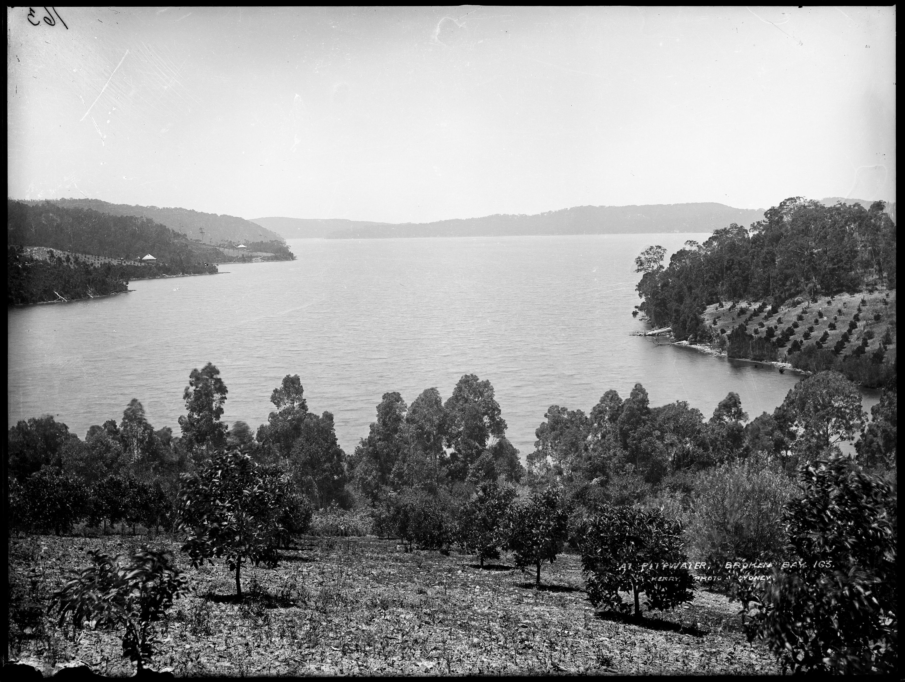
It was a popular spot to visit in the 1890s and a causeway/landing place was constructed along with a path to the lookout above the bay.

Lovett Bay, Ku-Ring-Gai Chase causeway, circa 1900. Image No.: a4367001h, courtesy State Library of NSW
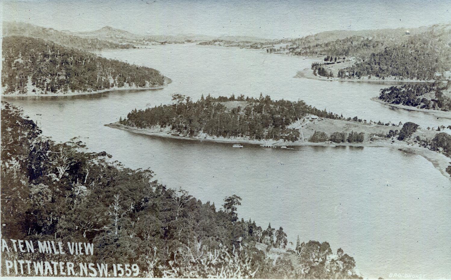
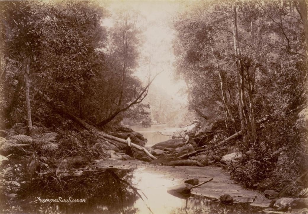
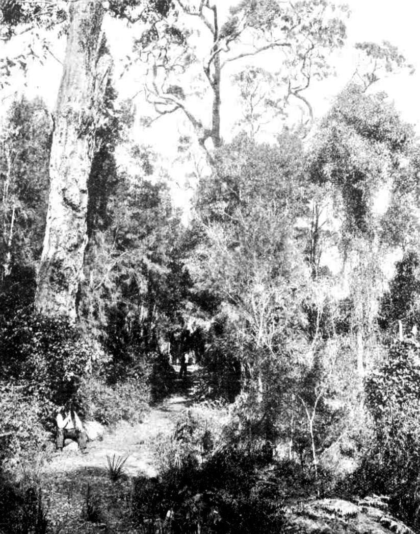
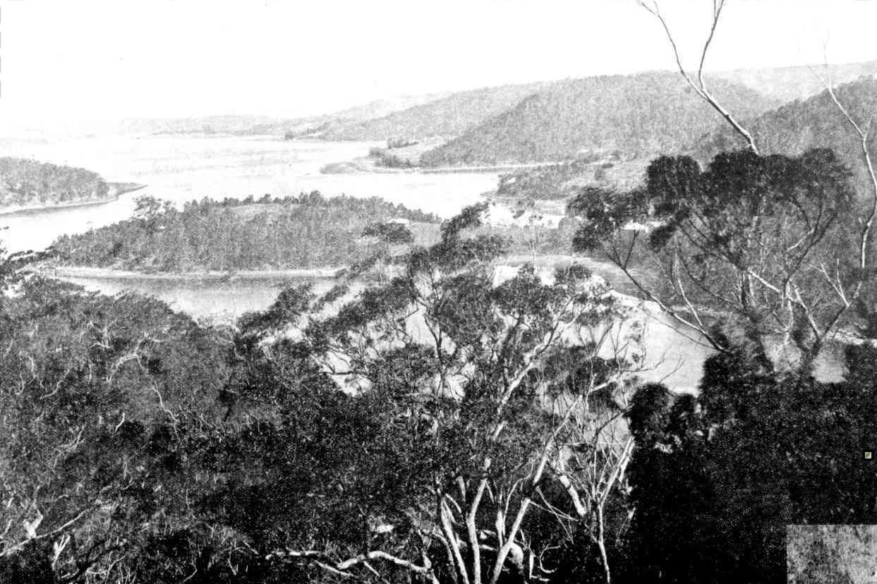
Dorothea Mackellar, the poet, lived here at her house, Tarrangaua, built in 1924.
Tarrangaua at Lovett Bay - Dorothea's Pittwater Home - A J Guesdon Photos; 2012-2015.
More in:
- Flagstaff Hill, Lovett Bay
- Tarrangaua Open Day 2012
- Pittwater Summer Houses: Rocky Point And Elvina Bay Peninsula - A Place Of Holiday Songs And Operas In Ventnor, Fairhaven, Trincomalee and Maritana
- Dorothea Mackellar Of Lovett Bay - The Poet From Whom The Electorate Received Its Name
- South West Lovett Bay Coastcare Group - Profile
- John William Pilbeam Goffage MBE ''Chips Rafferty'' Of Lovett Bay: Victory In The Pacific Day 2021
- The Cowan ‘Creek’ + Lovett Bay Heights Tracks: Some Notes From The Pages Of The Past With Early Photos
Morning Bay
Named Morning Bay in a survey of 1869, it was officially named that again in 1984. It had been known as Towler’s Bay, after a Bill Toler who used to camp there.
When gunpowder was being stored at Pittwater's Morning Bay during the 1880's aboard hulks it was known as Towler's Bay:
TOWAGE OF LIGHTERS TO AND FROM THE PUBLIC MAGAZINES AT BROKEN BAY AND PORT JACKSON.
NOTICE is hereby given that TENDERS will be received at this Office until Noon of TUESDAY', the 13th instant, from persons willing to supply a steamer (duly certificated by the Marine Board for sea going purposes capable of towing Lighters to and from the Port of Sydney and the Floating Magazine Station at Pittwater, Broken Bay, for a period of three calendar months from date of acceptance of contract, with the right reserved to the Government to renew for a further period of three calendar months, on conditions to be obtained at this office. Each Tender must be accompanied by a marked cheque of £20, and in the case of the accepted tender this amount will be held as a guarantee for the faithful performance of the service. Tenders to be addressed to the Under-Secretary of Finance and Trade, and endorsed " Tender for Towage of Lighters." P. A. JENNINGS. The Treasury, New South Wales, 8th July. 1886. Advertising. (1886, July 10). The Sydney Morning Herald (NSW : 1842 - 1954), p. 5. Retrieved from http://nla.gov.au/nla.news-article13636181
Above: The Thetis, Sydney's temporary pilot steamer from 1871 until 1877, Courtesy State Records and Archives of New South Wales [4481_a026_000478]
BROKEN BAY-.Arrival November 28, Thetis (s.), with powder hulk in tow. (FROM BOARD AT TELEGRAPH OFFICE.). (1884, November 29). The Sydney Morning Herald (NSW : 1842 - 1954), p. 12. Retrieved from http://nla.gov.au/nla.news-article13573739
Putting those in Pittwater at a similar risk of being blown to bits didn't seem to come into account for a few more years yet. A proclamation was promptly published;
A Proclamation by His Excellency the Governor appeared in a supplement to the Government’s Gazette published yesterday, declaring and appointing the vessel Prospector to be a floating magazine for, the storage of explosives. The position of the vessel is thus defined:-"The said vessel shall be moored in the waters of the port of Broken Bay; that is to say, in a bight or bay on the western Shore of Pittwater, known as Towler or Morning Bay, in about six fathoms of water, and about 375 yards from land north, south, and west of the said bay; and that the precincts thereof shall be as follows, viz., a distance of 20 yards from any part of the vessel : And I do hereby proclaim that the same shall be, on and after the date hereof, the precincts of the said floating magazine; "Any person entering such precincts without authority, and refusing to withdraw after being directed so to do by the Ordnance Storekeeper or other person under his authority, may be either forcibly removed or taken into custody for the purpose of being brought before the nearest Court of Petty Sessions, and will be liable to a penalty not exceeding £20. NEWS OF THE DAY. (1884, December 16). The Sydney Morning Herald (NSW : 1842 - 1954), p. 9. Retrieved from http://nla.gov.au/nla.news-article28365581
They were there for years:
On the Towler's Bay side there are several residents who pull across the water to the wharf at Church Point and meet the steamer from Sydney or the coach from Manly, as the case may be. The dynamite powder hulk is moored in Towler's Bay, with residences on shore for the officers in charge.
Mr. Robert Robinson has his residence of Raamah at the same place. Mr. Robinson informs me that he can grow to perfection such tropical fruits as bananas, guavas, ginger, mangoes, pineapples, Brazilian cherries, &c. This fact will demonstrate that there can belittle or no frost in this locality. Other residents of this side of the bay are Mr. F. Chave, Wood-lands, who has a very nice orchard, mostly summer fruit ; Mr. E. C. Johnstone, who has a nice residence and orchard; Mr. A. Steffani is another prominent resident, while the residence of the firm of Flood and Oately occupies a lovely peninsula in the quiet waters of the bay. Mr. Geo. Brown has a residence and an orchard in the neighborhood, and there is also a small church and cemetery at Church Point. Manly to Broken Bay. (1893, November 11). Australian Town and Country Journal (NSW : 1870 - 1907), p. 19. Retrieved from http://nla.gov.au/nla.news-article71191632
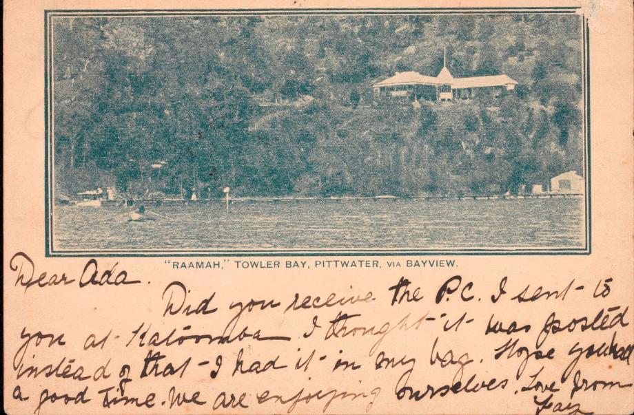
BAYVIEW, PITTWATER.
A handicap rowing race for local boats took place at Pittwater on Saturday last, the result being an easy win for the Magazine boys, with W. Dicken’s son second Six boats competed over a course of about one mile-from Mr Geddes' wharf to Church Point. Mr Booth acted as starter, and Mr Mulligan as judge. BAYVIEW, PITTWATER. (1896, March 9). The Sydney Morning Herald (NSW : 1842 - 1954), p. 6. Retrieved from http://nla.gov.au/nla.news-article14040596
- William Goodwin Geddes - Date of Death 08/07/1904, Place of residence Pittwater NSW - WILL
- Susannah Geddes - Date of Death 24/09/1904, Place of residence Pittwater - WILL
GEDDES.—At his residence, Bay View, New South Wales, William Goodwin Geddes, aged 82 years. Family Notices (1904, July 23). The Brisbane Courier (Qld. : 1864 - 1933), p. 4. Retrieved from http://nla.gov.au/nla.news-article19292090
GEDDES.—Susannah Geddes, widow of the late William Goodwin Geddes, of Bay View, Pitt Water, N.S.W., late of Caboolture, Queensland. Family Notices (1904, October 8). The Queenslander (Brisbane, Qld. : 1866 - 1939), p. 13. Retrieved from http://nla.gov.au/nla.news-article20349778
They were interred in Manly Cemetery
.jpg?timestamp=1727986819342)
Source: BillionGraves
A strange tale associated with this family, and why Notices of their passing were published in Queensland newspapers as well as Sydney ones. It was eventually worked out that this young man was their missing son and had suffered a brain injury after a fall from a horse prior to this accident. They paid back the money, with interest, at £4900 according to this report.
There is also the whole tragic tale in The Geddes Mystery, by Brian Jones, Spectrum Publications,2002
Blurb: ''The Geddes Mystery tells the true story of Queensland pioneer William Geddes, the 'Lord of Caboolture', and the exploits of his golden boy, Goodwin Geddes - dux of Brisbane Grammar School and one of the finest surveyors in the land. After the disappearance of 21- year-old Goodwin in 1877 darkness engulfed the Geddes family. A life insurance claim added controversy to grief with rumours of fraud and conspiracy. In the search for truth a web of intrigue was spun in almost every colony in Australia and New Zealand, as well as Fiji and San Francisco, involving bungled police operations, political interference and betrayal at Parliament House.''
WGG Jun. passed away before his parents, which is why he isn't named in the Wills:
THE GEDDES MYSTERY.
It would be difficult to find in the history of insurance companies a more interesting case than that of William Goodwin Geddes, reported drowned at Caboolture in 1877, and found alive last month in a South Australian lunatic asylum. Without the element of tragedy which has marked other cases; without the dark shadow of murder; without the terrible circumstance of crime which characterised the terrible offenses of the artist and literary man who insured his step-daughters' lives and then poisoned them, the Geddes story has in it features which show that either a cool and deep-laid scheme to defraud an insurance company was carried into effect, or that a young man suffering from mental aberration deceived family and friends, and for years managed to maintain the duplicity until his course was arrested, as it were, by the hand of fate.
We published recently a full account of what was termed the Geddes mystery, and the following is a brief outline of the case up to the point when what may be regarded as a mere chance put the Queensland police upon the trail of the most remarkable story they have yet had placed before them. On the 29th November, 1877, William Goodwin Geddes jun., surveyor, of Caboolture, who was recovering from an accident, drove with his brother to King John's Creek, near the Caboolture River, to bathe. The creek is about 15ft, deep, and the tide was at the time running out strongly. The brother of W. G. Geddes returned home alone and reported that his brother was drowned, telling a circumstantial story, which was to the effect that he heard his brother call out, and looking round found he had sunk. He dived several times for the body, but unsuccessfully.
"The body has not yet been found though every effort has been made," wrote a Mooloolah correspondent of the Queenslander on the 4th December, 1877. The correspondent then describes the supposed drowned man as "a universal favourite with all with whom he came in contact. He was a young man of very good abilities and a distinguished scholar, and a medallist of the Brisbane Grammar School some years ago." The residents of Caboolture at the time made every search for the body, but it is scarcely necessary to say they did not find it. While Messrs. Geddes, Delaney, Bryce, and others were diving and dragging the creek and sympathising friends were watching the yellow beaches in the hope that the body might be washed ashore, Mr. Goodwin Geddes, jun., the object of this solicitude, was wandering round in other parts of Australia and the directors of the Australian Mutual Provident Society were engaged in the consideration of a probable demand on them for £2500.
Some of young Goodwin Geddes's friends did not credit the story of his drowning. He was known to be an expert swimmer, and some of his former schoolmates were not loth to express their scepticism. Mr. Fred. Hamilton, who a few days ago was called upon to identify a photograph, was among the number. Another was Mr. W. H. Knowles, J.P., of this city, who a few days ago identified a photograph of a lunatic in the Adelaide Asylum as that of his old schoolmate at the Primary and Grammar schools, William Goodwin Geddes, jun. Mr. Knowles said to a reporter from this office, referring to the photograph, "I picked it out from a heap of others. I would have known it any where. I couldn't be mistaken,' ' Questioned further Mr. Knowles said, " Goodwin Geddes had a fall from a horse some time before the reported drowning and I believe that affected his head ; but no one who knew him as I did believed in the story of the drowning."
Geddes had, a few months before his dis-appearance, effected two life insurance polices with the Australian Mutual Provident Society, Brisbane, to the amount of £2500, and in January, 1878, application was made for the sum by the father of the supposed deceased, who was appointed executor under a will in favour of Mrs. Geddes, mother of the missing man. A copy of certificate of death from the registrar at Caboolture having been obtained the money was paid over in February, 1878. Grave doubts were entertained by the society, but they had nothing to warrant them in refusing to pay over the money.
After nearly twelve years, during which young Geddes had been mourned as dead, and had to a great extent been forgotten by all save those most closely related to him, his name cropped up again, and this time through the office of the Commissioner of Police. A telegram was received from Adelaide to the effect that a man supposed to be identical with W. G. Geddes was a confinee in the Adelaide Asylum for the lnsane. Photographs of the confinee were forwarded at the same time, and the police informed the A.M.P. Society of the fact. The photographs wore identified as those of the man who was reported to have been drowned.
The man identified as young Geddes was married some years ago under the name of Louis Brennan, and on his confinement in the asylum his wife became destitute, and applied to the Adelaide police for assistance, saying that her husband's name was Geddes, and that he had friends at Caboolture. This led to the communication with the Bris-bane police.
Mr. Geddes, sen., Mrs. Geddes, and other relatives of the newly-found man visited Brisbane and it is reported denied that the photographs of "Louis Brennan" were those of William Goodwin Geddes.
Sergeant Atkinson, of the Police Force, who was stationed at Caboolture when Geddes was missed, left Brisbane a few days ago for Adelaide and has identified the man confined in the asylum there under the name of "Louis Brennan" as young Geddes-the supposed drowned surveyor. The sergeant further was recognised at sight by the confinee.
It is believed that searching inquiry into the whole matter is being made by persons interested here. THE GEDDES MYSTERY. (1889, September 24). The Brisbane Courier (Qld. : 1864 - 1933), p. 6. Retrieved from http://nla.gov.au/nla.news-article3501711
Happier days in the papers record - and a few other notes:
BAY VIEW, PITTWATER, AN ARM OF BROKEN BAY
At Bay View the expansive waters of Pittwater and Broken Bay in all their glory lie disclosed to view. Our illustration gives a very good idea of the scene. In the foreground is Bay View House, vine yard, orchard, Post and Telegraph Office, the property of Mr. J. J. Roche. In the near view is Pittwater, extending its broad and deep arms to the right and to the left, and in the distance is Broken Bay, with Lion Island barring the passage way, so named because of its resemblance to a lion couchant. Only half the scene described is represented in the picture, but the varied panorama of headland jutting out beyond headland, with the intervening bays and arms as they sweep inward between the wooded head lands, gives a good idea of what the other side is like. Broken Bay is, as is well known, one of the most magnificent harbors in Australia, with plenty of deep water and ample scope for the largest ships that sail the ocean. Its vicinity to Port Jackson has, up to the present, destroyed its chances of becoming a commercial centre, but no one can doubt that the day will come when it will be the seat of a prosperous population with cities and towns within its borders, and railroads and ships bringing goods to its marts. At present it is merely used as a haven of shelter by storm-tossed ships, yachting parties, and an occasional excursion steamer from Sydney. At present its population is mostly composed of private gentlemen, who have residences among its beauty spots, the summer residences of business men from the metropolis, a few professional fruit-growers, with a scattering of business men and fishermen.
From Bay View the road, a very good one, winds around the beach, disclosing as every vantage point is gained new beauties of land and water. Around here are some very good orchards, with trees laden with fruit, and the homesteads peeping out from masses of evergreen foliage, with an extensive vista of land and water. In a charming spot on a sloping hillside, with such a fore ground and a craggy background Professor Anderson Stuart has a summer residence and orchard. Mr. W. G. Geddis (spelled Geddes elsewhere) has a neat residence on a pleasant point. Mr. W. Baker has an orchard with some magnificent trees, while on a commanding bluff is Mr. John Poster's residence and orchard. Mr. A. McIntosh's residence is also hard by. ... Manly to Broken Bay. (1893, November 11). Australian Town and Country Journal (NSW : 1870 - 1907), p. 19. Retrieved from http://nla.gov.au/nla.news-article71191632
Mr. Johnson’s mother’s sister was married to Mr. John Oliver who, in an affidavit, described how residents flocked to the wharves when the steamers arrived and unloaded their supplies. The steamer carrying the tin used in the roof of houses A,B,C, would have been unloaded at the Bayview wharf, alongside the present William’s Marine. Mr. Johnson (in Pittwater 1907) remembers the steamer’s whistle alerted everyone to the approach of the steamers. Mr. John Oliver worked for Mr. Geddes and mentions the ships “Hawkesbury”, “Narara” and “Erringhi”. (Mr Geddes owned property on “Brick Yard Hill” ½ mile from Wharf, east towards Bayview). From ‘Comments by the Early Settlers' – St Johns Anglican document. April 13.2005.
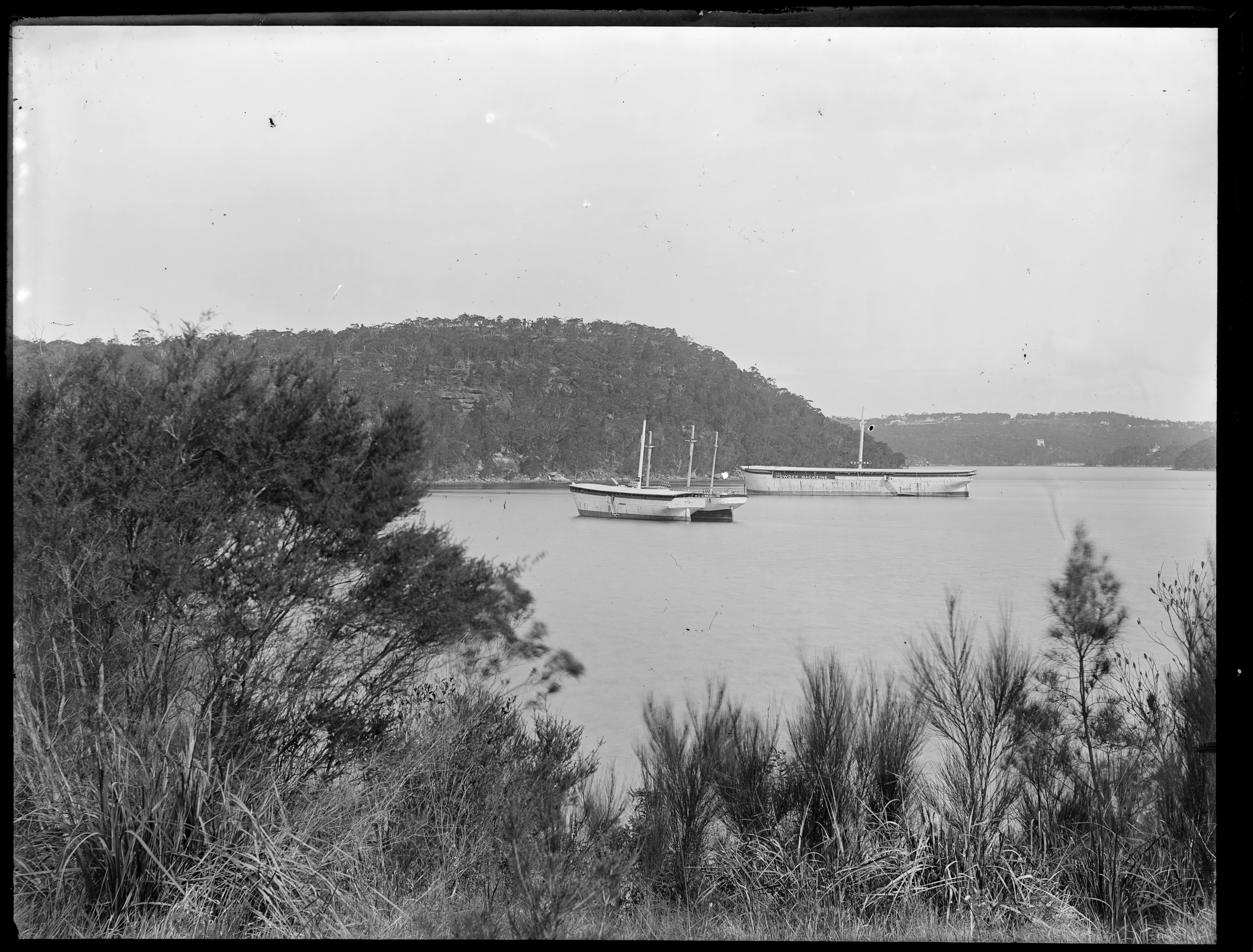
The Powder Hulks, Middle Harbour.
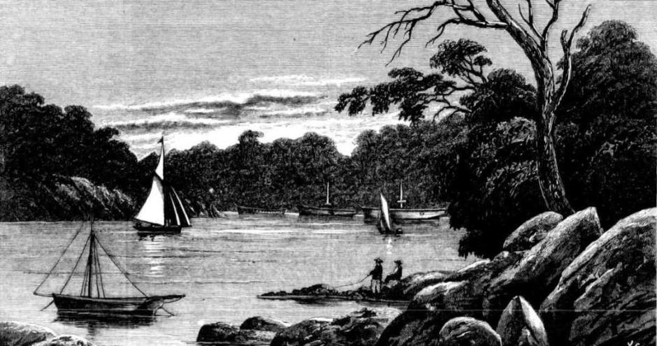
Above: Some months ago the city was scared by the statement that powder enough was stowed in the magazines at Goat and Spectacle islands to reduce all our houses to ruins, and dynamite enough to make powder of the ruins. Ministers were importuned about the business, but they said it had always been so and it always would be so, or, at least they implied so much by their studied inaction. We' have grown almost accustomed to the consciousness as well as the presence, of danger before it was' decided that some of the powder should be shifted.
Many localities were spoken of, and at last one was chosen far up Middle Harbour, quite away from town - away also from the ordinary tracks of tourists. Yachts beat up sometimes and cruise about the old hulks, and with good wind venture even a little farther up the narrowing estuary ; but other life there is none. A little farther up that 'Artisans' College' which is now amusing the Court and filling the daily pipers might be found; a little lower, some of the loveliest homes our harbour foreshore knows ; but immediately around the hulks nothing hut rocks and water and trees. An explosion could only wreck beauty, and beauty would rise again, we know. The powder is safer down there and the old hulks complete rather than mar the picture. | POWDER HULKS, MIDDLE HARBOUR. The Powder Hulks, Middle Harbour. (1883, June 16). The Sydney Mail and New South Wales Advertiser (NSW : 1871 - 1912), p. 1120. Retrieved fromhttp://nla.gov.au/nla.news-article162079372
More in:
- Prospector Powder Hulk at Towler’s Bay
- The Pittwater YHA: Some History
- Pittwater’s Parallel Estuary: The Cowan ‘Creek’ - Issue 145, January 2014
- Pittwater's Lone Rangers - 120 Years of Ku-Ring-Gai Chase and the Men of Flowers Inspired by Eccleston Du Faur - Issue 165, June 2014
- Harry Wolstenholme; June 21, 1868 - October 14, 1930, Ornithologist Of Palm Beach, Bird Man Of Wahroonga - Issue 470, October 2020
- Woody Point Yacht Club
Bayview
This was originally ‘Bay View’ named for a ‘view of the [Pittwater] Bay which can be seen from the expansive outlook here.
The Collins- Roche family, who bought acreage land there, were running a Post Office from a building/home on the Bay View Road (later renamed Pittwater road) from 1881.
'Bay View road' was renamed 'Pittwater Road' but the name stayed for the suburb of Pittwater.
More in:
- Roads To Pittwater: The Pittwater Road
- Roads In Pittwater: The Bay View Road
- Pittwater Roads II: Where the Streets Have Your Name - Bayview
- John Collins of Avalon
- Katherine Mary Roche - Pittwater Matriarch
- Bayview Wharf
- Early Bayview - insights courtesy Don Taylor and Margaret Tink
- Bayview Days: Pittwater in the 1950's by Andrew Amos
- Bayview Baths Centenary Celebration
- Bayview Koala Sanctuary
- Church Point and Bayview: A Pittwater Public School Set on the Estuary
- The Bayview Tea Gardens 1920 to 1923 When Run By Thomas Edward And Annie Newey (Nee Costello)
- Some Bayview Memories: The Lloyd Family
- Pittwater Summer Houses: Waiwera and Hopton Lodge, Bayview
- Mark Foy of Bayview 2019 Inductee into Australian Sailing Hall of Fame
- The Mona Vale-Bungan Beach-Bayview Tank Traps: Coastal Defences Of Pittwater During World War Two - Some History
- 'Little Mountain' Bayview - The Modernistic Art Deco House William Watson Sharp Built For Kenneth Gordon Murray During The Rise Of The K G Publishing Empire
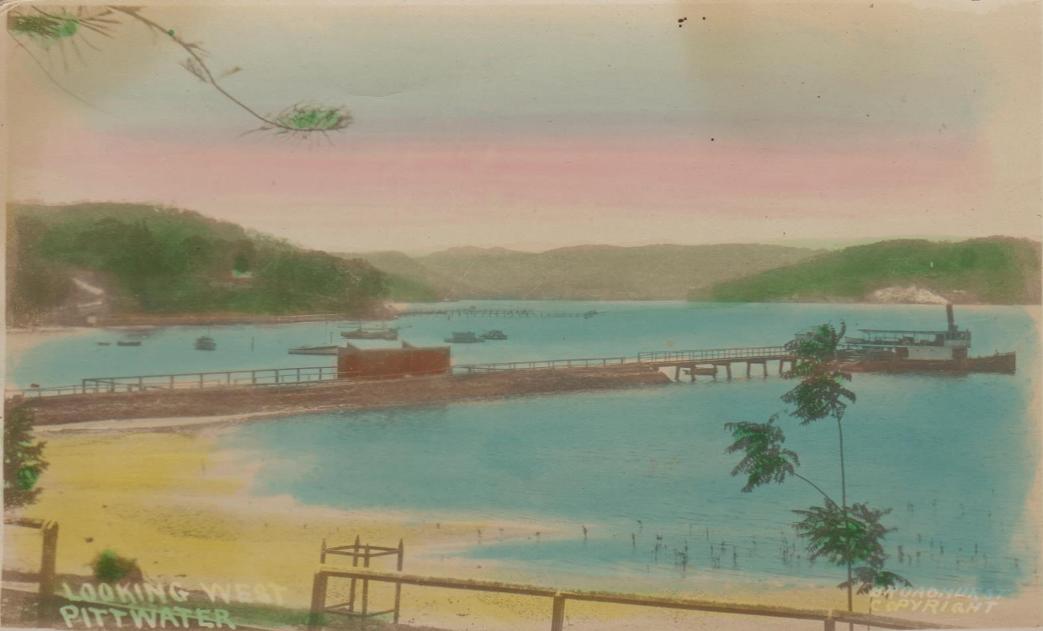
.jpg?timestamp=1599604639412)
Scotland Island
Named by European settler Andrew Thompson after his homeland.
Originally named 'Pitt Island' by Governor Phillip when he explored Broken Bay in March 1788, the island was renamed by the first European to be granted Scotland Island, Scotchman Andrew Thompson. The 120 acres comprising the island were granted on January 1st 1810, as a reward for his flood rescue work on the Hawkesbury River.
Although he clearly frequented Pittwater and Scotland Island, named for his homeland and perhaps due to the similarity of the green hilled and blue watered estuary to his original home, his main sphere of work was at Green Hills, soon to be named 'Windsor'.
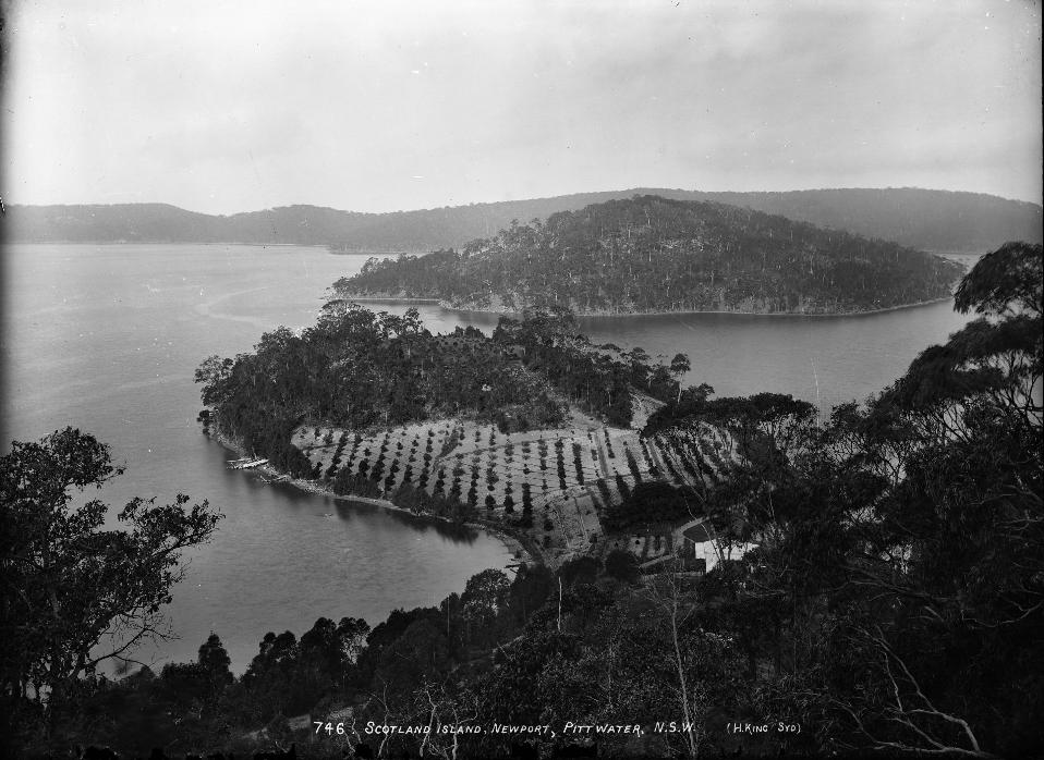
More in:
- Andrew Thompson - Pittwater Patriarchs series
- The First Boat Builders of Pittwater I: the Short Life and Long Voyages of Scotland Island Schooner the Geordy
- Pittwater Roads II: Where The Streets Have Your Name - Scotland Island
- The Tasmanian Countess and Marquise of Scotland Island
- Early Bayview - insights courtesy Don Taylor and Margaret Tink - Interview
- The First Scotland Island Cup, Trophy and Race and the Gentleman who loved Elvina Bay
- Scotland Island Residents Assoc. - Profile
- Original Sales Pamphlets Of Scotland Island, Mona Vale, Great Mackerel Beach, Bungan, Offer Images Into Our Past – A Pittwater Summer Idyll
Coasters Retreat
Named for its use by early coasters who transported goods and supplies to ands from the settlements along the Hawkesbury and from Pittwater, and later used by those coming out to take part in the 1890’s Basin Regattas as a place to safely moor.
Robert McIntosh II (junior - who had married Jane Pymble in 1830) ended up purchasing the land at the Basin, which Martin Burke had applied for, but not proceeded to purchase. He applied to purchase it on May 30th 1834, and paid £17 10s for it on 31 December 1834. The deed was executed on 8 April 1835. [LTO SN38/91] He sold this land to William Oliver on 28 December 1839 for £50. [2.]
Patrick Flinn or Flynn applied for 50 acres at Coasters Retreat on January 21st 1839. This land was purchased by John Andrews on April 18th 1842. John Andrews, a former soldier of the NSW Army Corps by Governor Gipps, gave the name "Soldiers Point" on the western extremity of the south headland, with agriculture beginning on a small scale.
Crown Lands.-A sale of crown lands took place yesterday ; there were only ten lots, put up, of which seven were sold. In the parish of Manly Cove, 20 acres were sold to John Wheeler at £l 14s. an acre; 17 acres to Charles Chapman at 29s. ; 19 acres to John Wheeler at 27s. ; 100 acres to John Thompson at 14s.6d. ; 100 acres to C. Andrews and J. Skully at 12s. In the parish of Broken Bay, 50 acres to C. Andrews at £1; and 30 acres to William Oliver at £1 10s. The total, amount of the sales was £311 16s., of which £110 is soldiers' remission money, so that the actual sum paid into the Treasury will not exceed £200. For a section in the county of Wellington, 37acres on the Bathurst Road, and 50 acres at Broken Bay, there were no offers. COMMISSIONERS OF THE SUPREME COURT. (1842, March 10). The Sydney Herald (NSW : 1831 - 1842), p. 2. Retrieved from http://nla.gov.au/nla.news-article12874119
James McCawley, a soldier in the 28th Regiment of Foot, from North Gloucester, which came to Australia in 1835, purchased the land adjoining John Andrews. - Shelagh Champion OAM and George Champion OAM state in their Profile of the Pioneers (2013):
Regulations allowed discharged soldiers to take part of their pay by remission of the purchase price of land. As a Private, McCawley was entitled to £25 remission. He purchased 50 acres adjoining John Andrews’ grant for £30, paying the remaining £5 to the Colonial Treasurer. The land was granted to him on 18 April 1842. [LTO SN75/7]
However, being chief constable at Cassilis, he never lived on the land. He sold it to Gordon Gwynne, surgeon of Parramatta for £23, and Gwynne sold it to John Williams of Baulkham Hills on 16 August 1843 for £15. [LTO Book 7 No.567] The land remained unoccupied. [2.]
The Basin, adjoining Coasters Retreat, has particularly rich Aboriginal Heritage sites including the Basin Track Engraving Site, featuring petroglyphs of hunters, kangaroos, fishing and wallabies. On the headland north of Coasters Retreat is the Red Hands Cave, featuring a hand print in red ochre. Other hand prints, pictographs, middens and carvings can be found in the locality. On the foreshore at Coasters Retreat is an Aboriginal carving of a dolphin.
In 1770 Captain Cook sighted Broken Bay, naming it for its rugged terrain. Pittwater was first explored by Governor Arthur Phillip in 1788, who named it after British Prime Minister William Pitt. Pittwater was again charted in 1789 by Captain John Hunter. In 1842 Coasters Retreat was first granted to a former soldier of the NSW Army Corps by Governor Gipps, John Andrews, who gave his name to "Soldiers Point" on the western extremity of the south headland, with agriculture beginning on a small scale.
The area was first inhabited by Indigenous Australians, the Kuringgai (also spelt Ku-ring-gai, Kuring-gai, Guringai). The Kuringai were hunters and gatherers. The Basin, adjoining Coasters Retreat is particularly rich in Aboriginal Heritage sites including The Basin Track Engraving Site, featuring petroglyphs of hunters, kangaroos, fishing and Wallabies. On the headland north of Coasters Retreat, is the Red Hands Cave, featuring a hand print in red ochre. Other hand prints, and pictographs, middens and carvings can be found in the locality. On the foreshore at Coasters retreat is an Aboriginal carving of a Dolphin.
The lands of The Basin and Coaster's Retreat changing hands begins prior to that though. In 1833 Martin Burke applied for a grant of land at The Basin, which then comprised a small flat of land of about four acres and the tiered hillside where Chinese Market gardeners had constructed terraces to hold growing produce.
9. Cumberland, fifty acres, parish of Broken Bay, situated at the basin at Pitt-water, commencing at a marked tree in a small bay, and bounded on the west by a line north 22 chains ; on the north by a line east 25 chains to Pitt-water; and on the south east and all other sides by that water to the marked tree. Applied for by Martin Burke. Price five shillings per acre. Colonial Secretary's Office, Sydney, 5th Nov. 1833. SALE OF LAND. (1833, November 11). The Sydney Herald (NSW : 1831 - 1842), p. 4. Retrieved from http://nla.gov.au/nla.news-article12848144
CUMBERLAND-50 Acres Parish of Broken Bay, and at the Basin at Pittwater; applied for by Martin Burke ; price 5s. per Acre No Title. (1834, January 14). The Sydney Monitor (NSW : 1828 - 1838), p. 3 Edition: MORNING. Retrieved from http://nla.gov.au/nla.news-article32145420
No. 188. By Martin Burke, of Pitt Water, to 100 acres of land, promised by Sir Thomas Brisbane to John Clarke, now of Launceston, a pensioner of the 102 ½ regiment, described as follows: situate in the county of Cumberland, parish of Broken Bay, 60 acres at Great Mackerel Beach, (in the western shore of Pitt Water, and 40 acres adjoining and extending towards an inlet called the Basin, bounded on the north by James Reibey's 40 acres, on the west by a line south 46 chains, in the south by a line east 18 chains, and on the east by the Little Mackerel Beach, Pitt Water, and The Great Mackerel Beach. CLAIMS TO LAND. (1834, April 28). The Sydney Herald (NSW : 1831 - 1842), p. 4. Retrieved from http://nla.gov.au/nla.news-article12849194
.jpg?timestamp=1567062868843)
A farmhouse was built at The Basin in 1881.
More in:
- Pittwater Roads II: Where The Streets Have Your Name - Coaster's Retreat and The Basin
- Canoe and I go with the Coasters
- On The Verge Of The 2019-2020 Sailing Season - Historic Insights From The Australian National Maritime Museums 1890 Pitt Water 'Era' Yacht Collection (The Basin Regattas)
- The Basin, Pittwater: A Reprise
Great Mackerel Beach
Named to differentiate between adjoining Little Mackerel Beach, now known as Currawong Beach.
The first Europeans to hold land at Great Mackerel Beach, under the Land Grants system, were Martin Burke and James Kirby.
Register No. 1.
THE Commissioners for hearing and determining upon Claims to Grants of Land within the Colony of New South Wales, under the Act of the Governor and Council, 4th William IV. No. 9, do hereby give Notice that the following Claims have been filed with their Secretary : —to wit—
No. 188. By Martin Burke, of Pitt Water, to 100 Acres of Land, promised by Sir Thomas Brisbane to John Clarke, now, of Launceston, a pensioner of the 102d regiment, described as follows; situate in the county of Cumberland, parish of Broken Bay, 60 acres at Great Mackerel Beach, on the western shore of Pitt Water, and 40 acres adjoining and extending towards an inlet called the basin, bounded on the north by James Reiby's 40 acres, on the west by a line south 46 chains, on the south by a line east 18 chains, and on the east by the Little Mackerel Beach, Pitt Water, and the Great Mackerel Beach.
And the said Commissioners do hereby require all and every Person or Persons having any claim to the said Lands to present their claims or pretentions thereto within the period of three months from the date of this present Notice, and in default thereof, all claims and pretentions to such Lands will be barred and extinguished, except as now filed.
Dated at Sydney, New South Wales, this 21st day of April, One thousand eight hundred and thirty four.
By Order of the Board;
JOHN DILLON, Secretary. Government Gazette Notices (1834, April 23). New South Wales Government Gazette (Sydney, NSW : 1832 - 1900), p. 234. Retrieved from http://nla.gov.au/nla.news-article230686591
On November 6th, 1834 Martin Burke sold the Great Mackerel 60 acres to James Marks for £50, provided that Burke should occupy the house and outhouses and three acres of the land during the term of his natural life. Prior to that part of the land had been owned by James Kirby, whose father was a marine with the First Fleet. On March 9th, 1831, aged 34, he petitioned Governor Ralph Darling for a grant of land, saying that he was the only support of his 63 year old mother; he possessed 20 head of cattle but no land for their pasture. He selected land at Great Mackerel Beach and received his grant of 40 acres on October 18th 1831.
On April 16th, 1832 James Kirby of York Street, mariner, conveyed the land to George Green of Sussex Street, shipwright, for £9. George Green built boats at Pittwater (Careel Bay and Clareville) and was one of the early great rowers of Australia. You can find out more about the Green Family in Early Pittwater Paddlers, Oarsmen, Rowers and Scullers: The Green Family
This George Green acreage was sold to James Marks on March 16th 1836.
James Moody Marks was a relative of the King family as his daughter Margaret had married Alexander King - records indicating the property, perhaps once slated for a yachting rendezvous place alike The Basin, was purchased by the father of Elizabeth Connell (nee King) when she was a mere 12 years of age. Elizabeth was born in 1851 to Alexander J and Margaret King. Other records indicate James Marks gave the land in a Trust for his granddaughter. Elizabeth appears to have been named for her grandmother Elizabeth, James M Marks' wife.
Elizabeth King married William Moore Connell in 1875 and they had four children, three sons, and a daughter, Harold Moore Palmerston (born 1876), Henry Norman (born 1880), Leslie Gordon (born 1882) and Vera Elizabeth (born 1887):
CONNELL.—KING.—June 10, at Christ Church, Kiama, by the Rev. J. H. L. Zillman, William Moore Connell. J. P., of the Merri Merri, Coonamble, youngest son of Assistant Commissary-General Connell, to Elizabeth, eldest daughter of the late Alexander King, J.P., Avoca, Kiama. Family Notices (1875, June 15). Evening News (Sydney, NSW : 1869 - 1931), p. 2. Retrieved from http://nla.gov.au/nla.news-article130493845
In 1886 the 60 acres of the Great Mackerel Beach Connell land holding was brought under the Real Property Act:
NOTICE UNDER REAL PROPERTY ACT.
APPLICATIONS having been made to bring the lands hereunder described under the provisions of the Real Property Act, Certificates of Indefeasible Title will issue, unless Caveats be lodged in Form of the said Act on or before the date named opposite each case respectively.
Property
No. 6,327. Pitt Water, near the Basin, 60 acres, fronting Great Mackeral Beach,—is part of 100 acres granted to M. Burke. Applicant: Elizabeth Connell, wife of William Moore Connell. Address of applicant: Merri Merri Station, Galargambone – 27th of May 1886. NOTICE UNDER REAL PROPERTY ACT. (1886, March 19). New South Wales Government Gazette (Sydney, NSW : 1832 - 1900), p. 1881. Retrieved from http://nla.gov.au/nla.news-article227666155
Worth noting is the marriage between the Connells' only daughter Vera and Harry Ruskin Rowe (of Avalon Beach Ruskin Rowe renown), who moved in the same circles if this Spring event at the home of the Rickard's is anything to go by:
.jpg?timestamp=1568683911530)
Great Mackarel Beach : Kuring-Gai Chase : The Balmoral Of Pittwater
Sydney, N.S.W. : H. W. Horning & Co., 1920. Copy at Mitchell Library has book plate 'Presented to Mitchell Library by Horning & Co, Ltd'. Mitchell Library copy 2 at Q981.1/H1 transferred from Pittwater subdivision plans P13/85-85f. Online images available via the State Library of NSW at: http://digital.sl.nsw.gov.au/delivery/DeliveryManagerServlet?embedded=true&toolbar=false&dps_pid=IE6666410
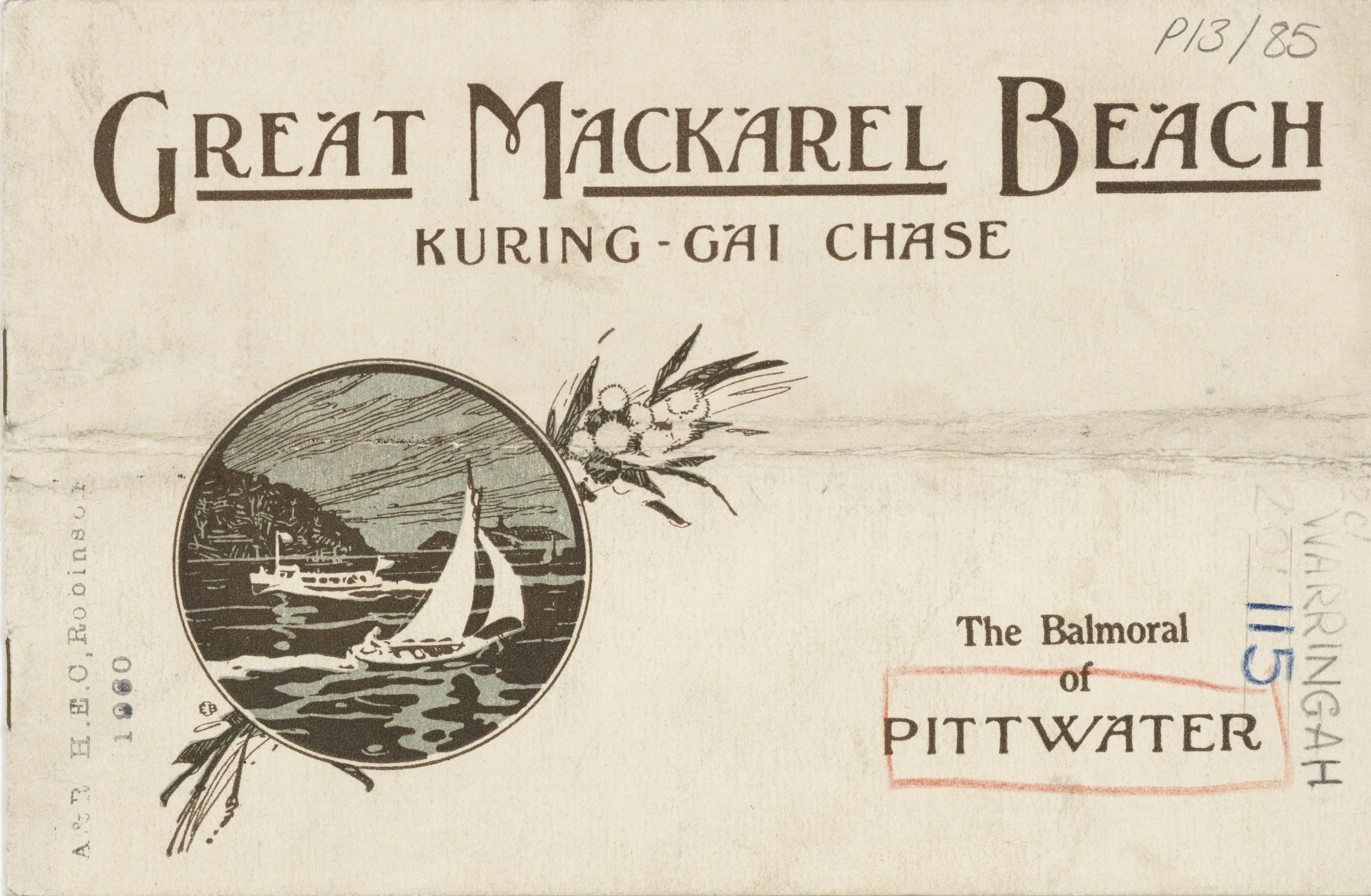
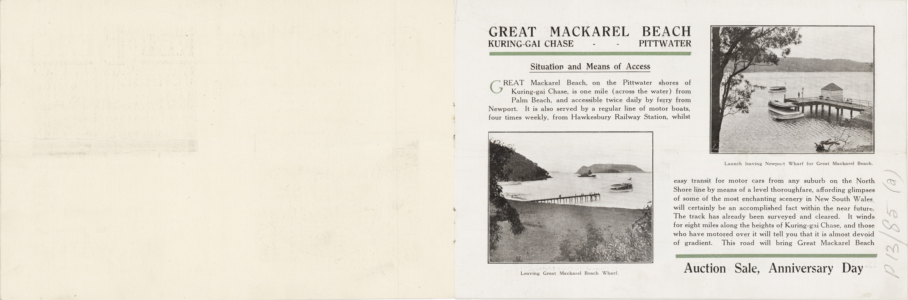
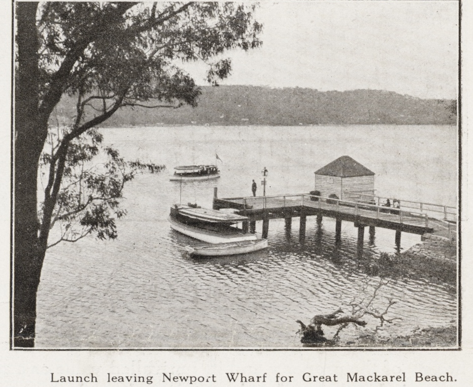
.jpg?timestamp=1639103479073)
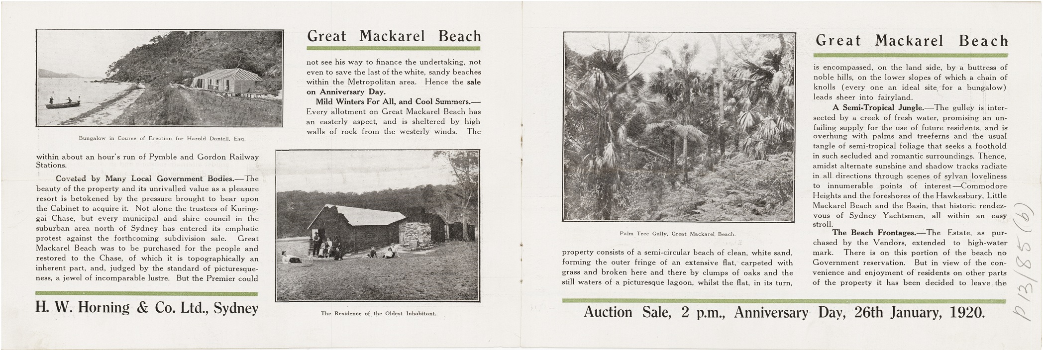
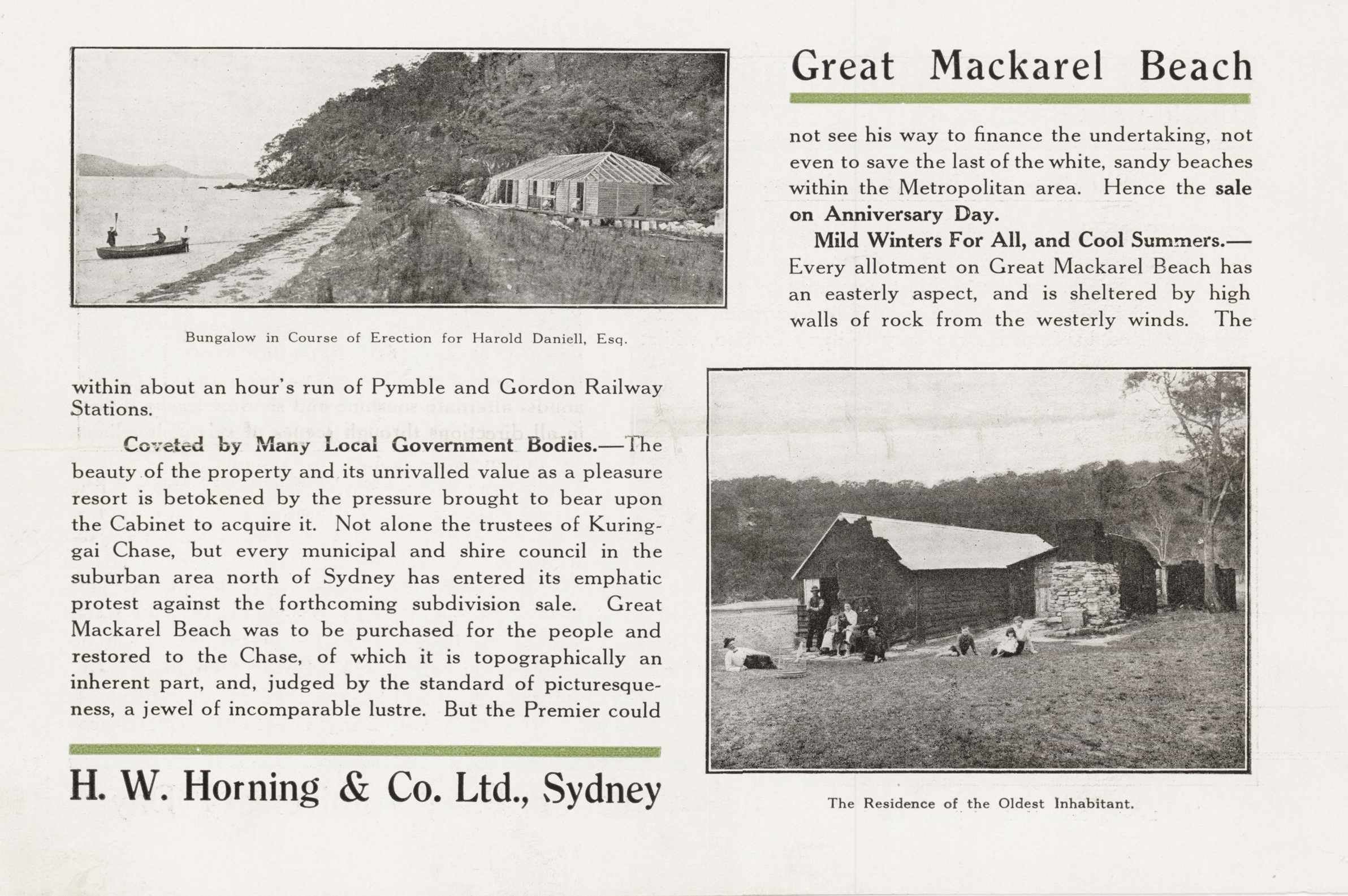
.jpg?timestamp=1639104107923)
.jpg?timestamp=1639104142844)
.jpg?timestamp=1639104171543)
.jpg?timestamp=1639104200687)
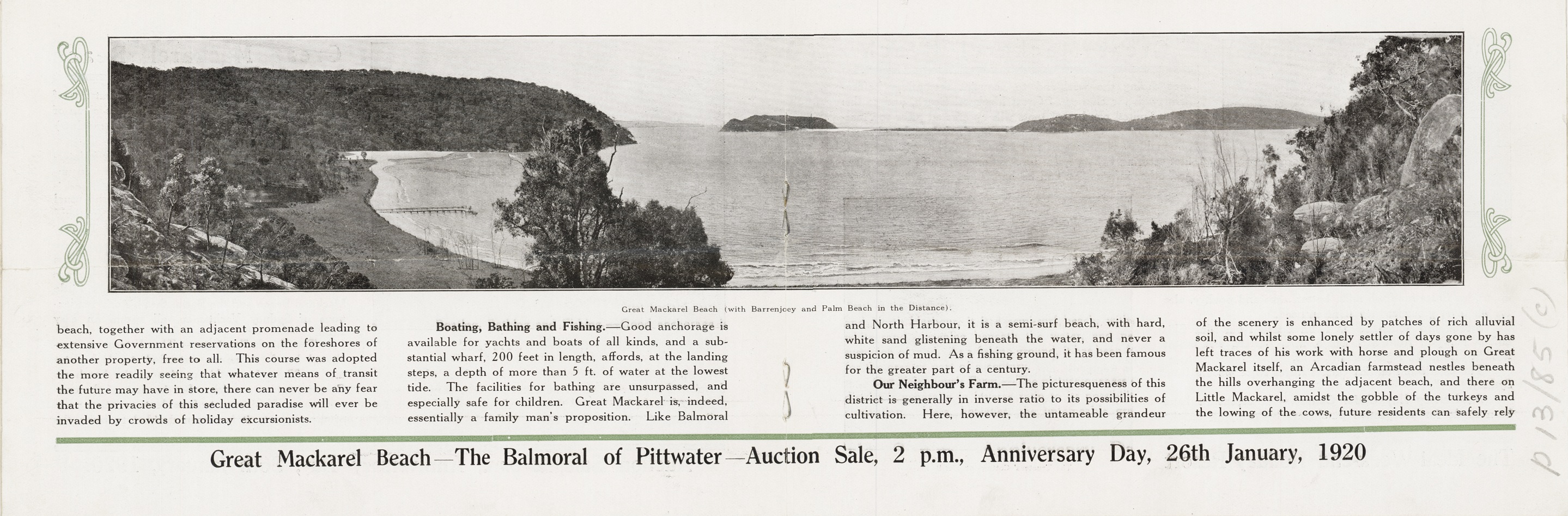
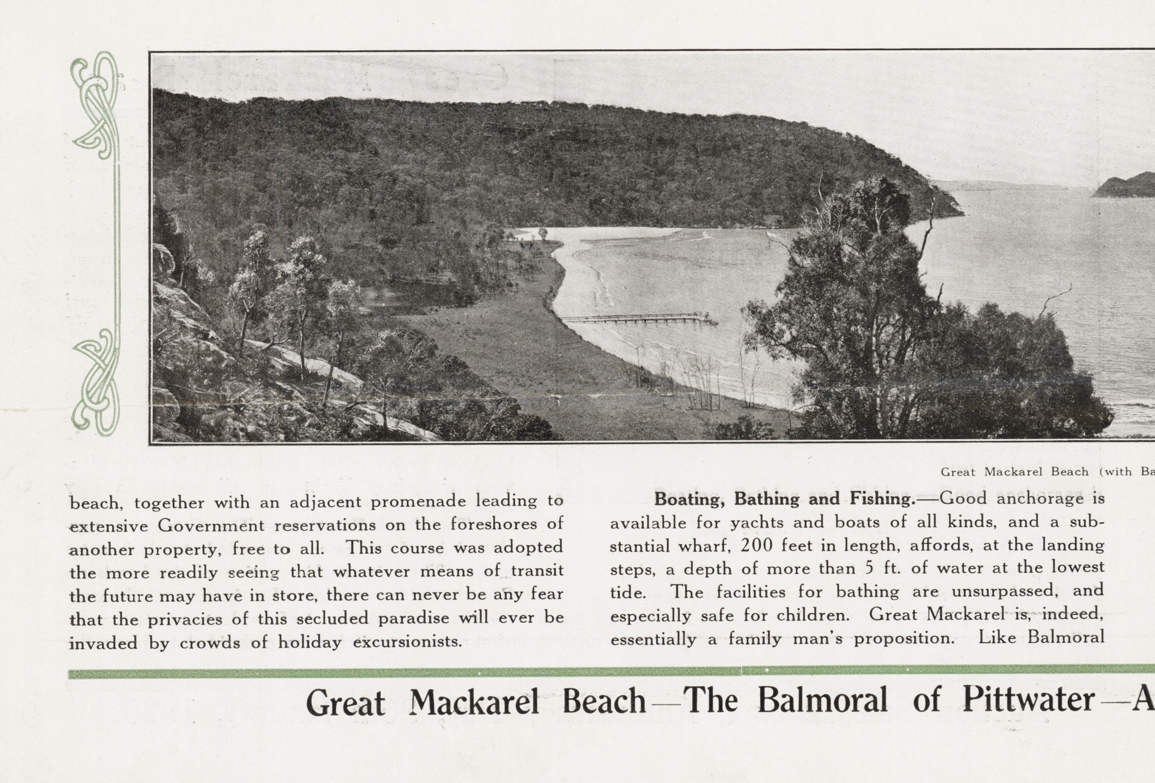
.jpg?timestamp=1639104573690)
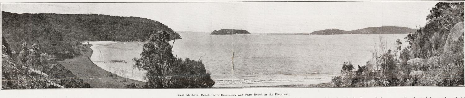
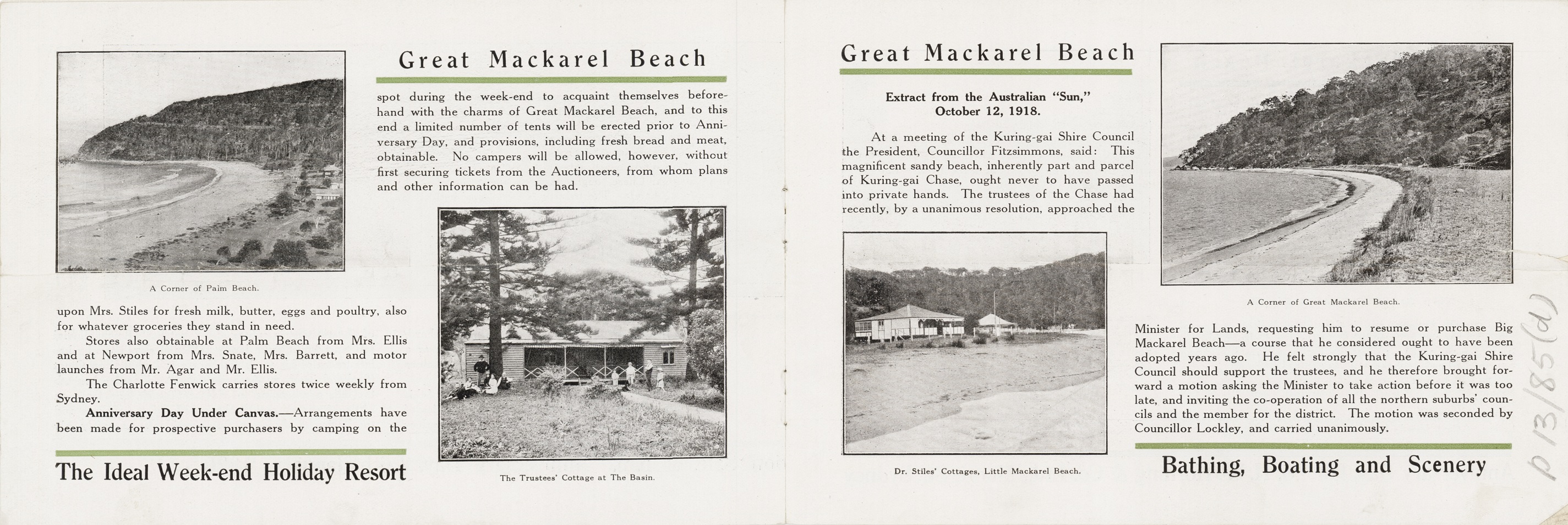
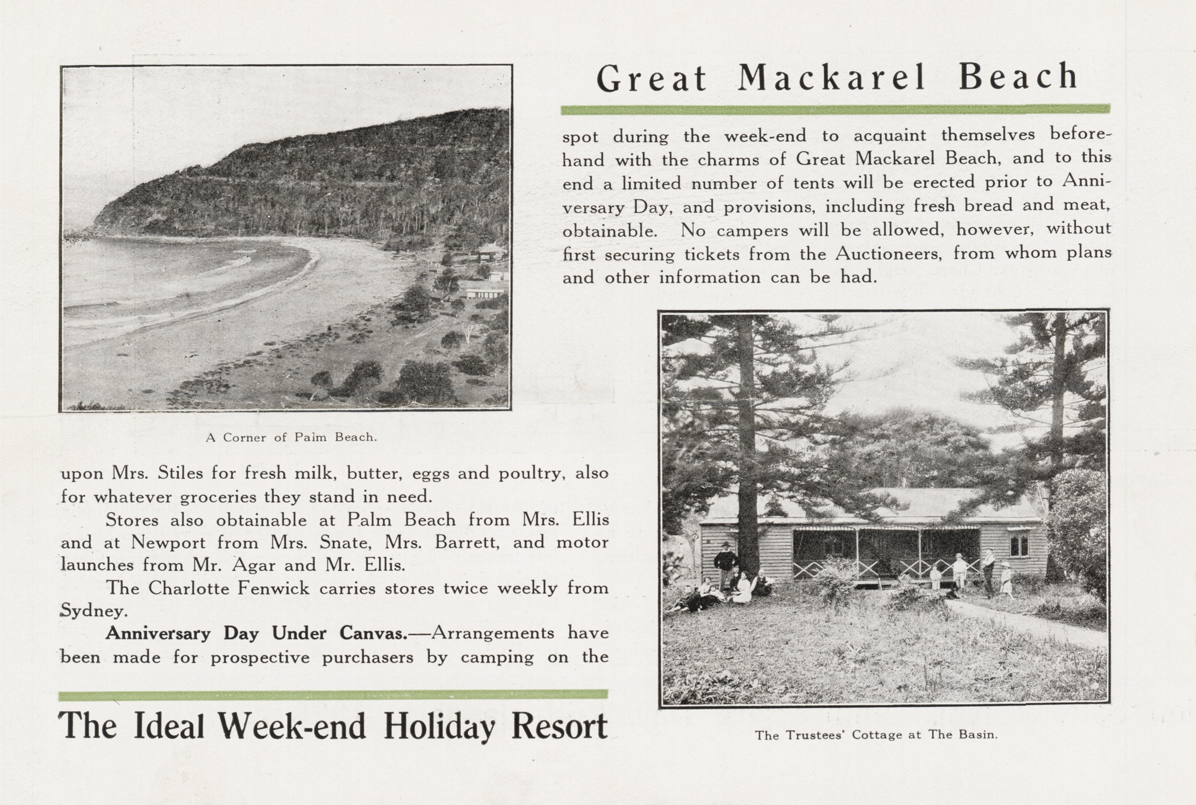
.jpg?timestamp=1639105157420)
.jpg?timestamp=1639105203839)
.jpg?timestamp=1639105231309)
.jpg?timestamp=1639105260191)
.jpg?timestamp=1639105289102)
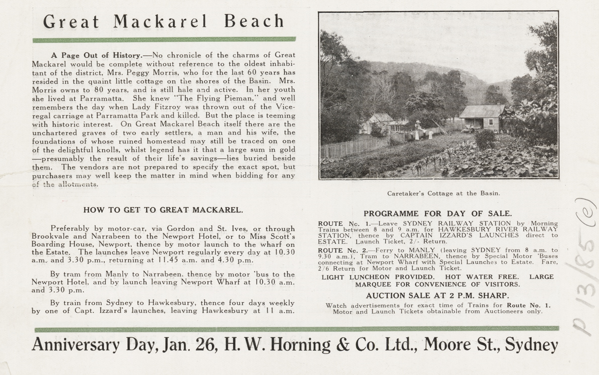
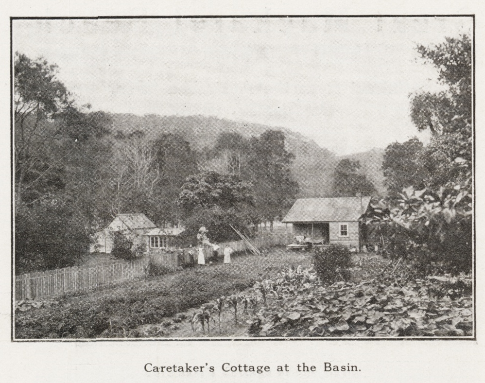
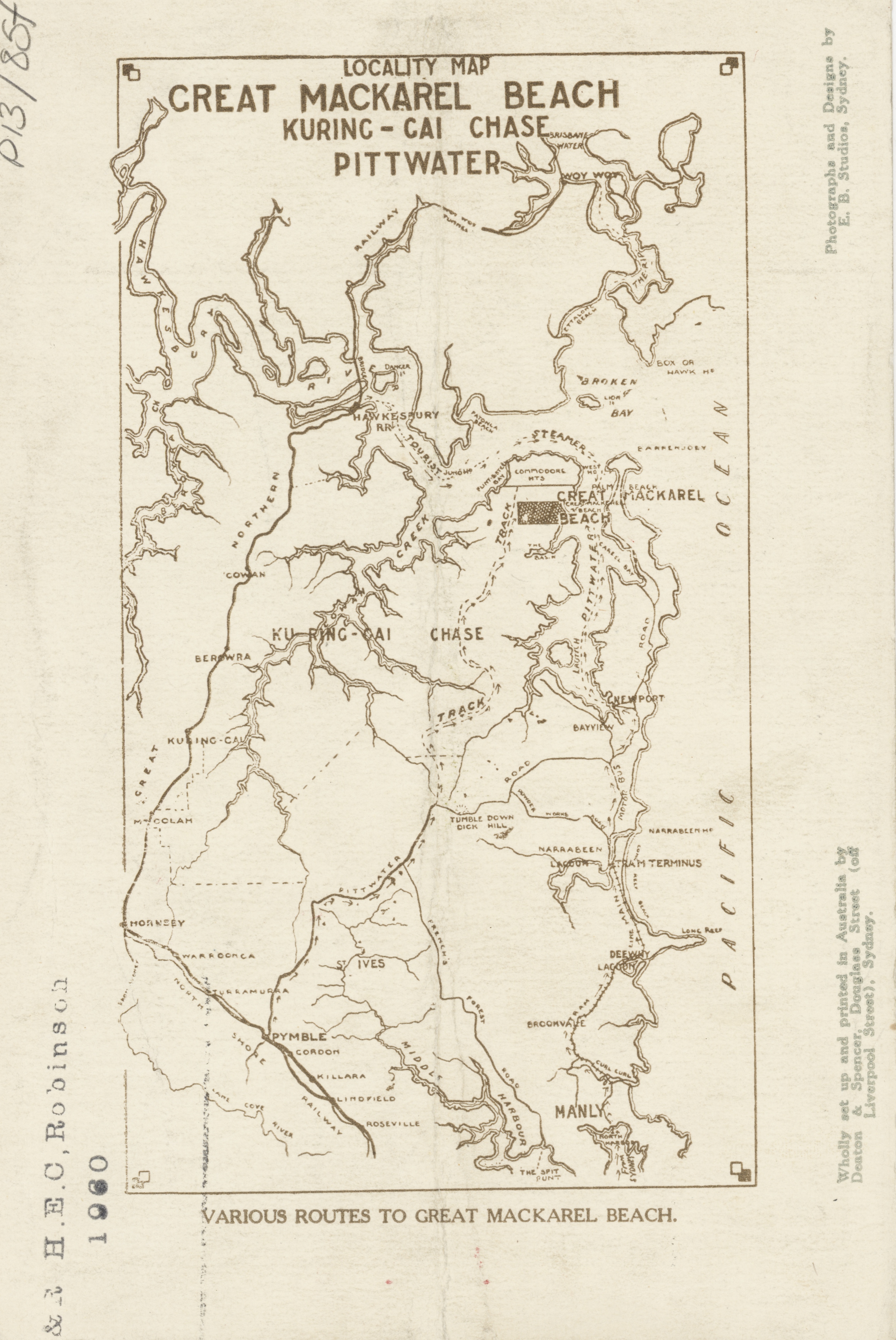
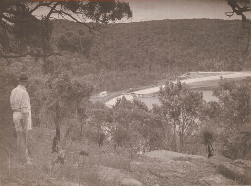
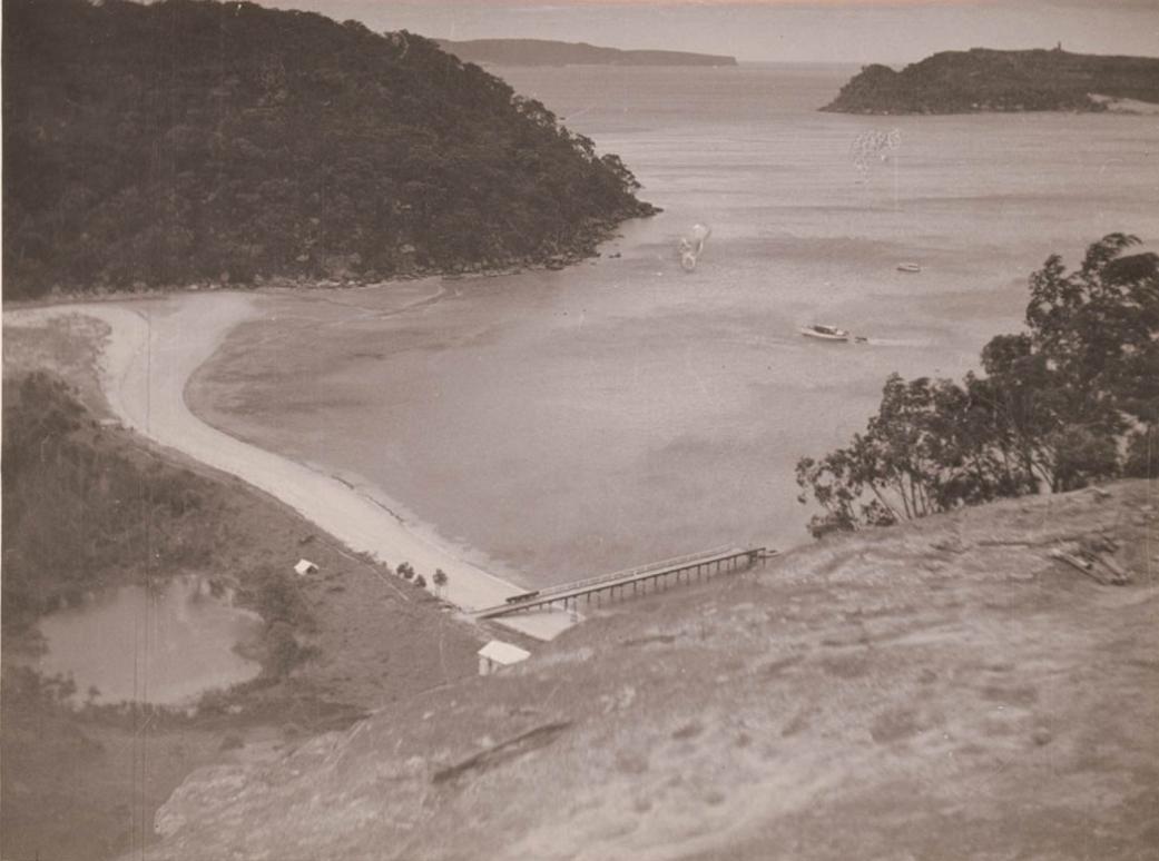
More in:
- Pittwater Roads II: Where The Streets Have Your Name - Great Mackerel Beach
- Original Sales Pamphlets Of Scotland Island, Mona Vale, Great Mackerel Beach, Bungan, Offer Images Into Our Past – A Pittwater Summer Idyll
- Waradiel* Season
Warriewood
Derived from the Macpherson family who had purchased acreage here in the 1880’s to 1890’s. Their family middle-name in ‘Wharrie’ was given to ancestors and descendants.
'Wharrie' is a very old Scottish name that may even date back to the Dalriadan tribe of Scotland's western coast and Hebrides islands. It comes from Guaire, an old Gaelic personal name meaning noble or proud. Clan MacQuarrie (also MacQuarie, McQuary, MacQuaire, MacGuarie, Macquarie) is an ancient Highland Scottish clan which owned the islands of Ulva, Staffa and Gometra as well as large tracts of land on the Isle of Mull, which are all located in the Scottish Inner Hebrides. Clan MacQuarrie (Scottish Gaelic for: son of Guaire) is one of the seven Siol Alpin clans descended from the Kings of the Picts and Dál Riata. Clan MacQuarrie is one of the four oldest Highland clans and can trace its ancestry to 9th century Kenneth MacAlpine, the first King of Scots.
The Scottish Gaelic surname for Macpherson is Mac a' Phearsain which means son of the parson. The Celtic church allowed priests to marry and the progenitor of the chiefs of Clan Macpherson is believed to have been a man named Muireach or Murdo Cattenach who was the priest of Kingussie in Badenoch. The Clan Macpherson is part of the Chattan Confederation (Clan Chattan). In 843 the chief of Clan Chattan was Gille Chattan Mor and one of his sons, the first chief of Clan Macpherson was forced to resettle in Lochaber by Kenneth MacAlpin, first king of Scots. The chief may have been the lay prior of Ardchattan and he seems to have been named in honor of Saint Cathan.
Macpherson clan traditions is that in 1309 Robert the Bruce offered the lands of Badenoch to the chief of Clan Macpherson on the condition that they destroyed the Bruce's enemies, the Clan Comyn, and the Macphersons carried out the king's wishes. The Clan Macpherson is sometimes known as the Clan of the Three Brothers owing to the fact that chief Ewan Ban Macpherson had three sons: Kenneth Macpherson of Clunie, Iain Macpherson of Pitman and Gillies Macpherson of Invereshie.
The clan motto is Touch not the cat but a glove. But means without. The 'glove' of a wildcat is the pad. If the cat is 'ungloved', its claws are unsheathed. The motto serves as a warning that one should beware when the wildcat's claws are 'without a glove'. It is a reference to the historically violent nature of the clan and serves as a metaphorical warning to other clans that they should think twice before interfering with Macpherson business.
.jpg?timestamp=1580683747195)
Visit: The Macphersons Of Wharriewood: The William Joseph Macpherson Albums
.jpg?timestamp=1537905699975)
1. On the Narrabeen Lagoon. 2. View from Sheepstation Hill, looking south. 3. Bay View. 4. A dip in the surf at Narrabeen. 5. Near Long Reef. 6. Approaching Narrabeen. 7. One of the creeks. The distance from Manly to Bay View is about 15 miles. The road is by the Narrabeen-road past Rocklily. A proposal to put down a tram line is now being considered, and a member of the ministry was recently driven over the country, which in many parts is remarkably picturesque. MANLY TO BAY VIEW—A POPULAR EASTER RESORT BY ROAD. (1900, April 14). The Sydney Mail and New South Wales Advertiser (NSW : 1871 - 1912), p. 878. Retrieved from http://nla.gov.au/nla.news-article165297416
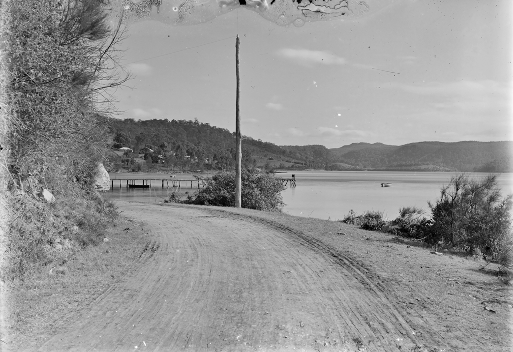
Image No.: c071950005 Box 17, Albums of William Joseph Macpherson - 'Bay View', courtesy State Library of NSW and Macpherson Family.
Warriewood at this time was still very wooded with the floodplain enthreaded with gloriously clean and weed free creeks - although men such as Leon Houreux, of the Rock Lily, was one of the woodcutters who may have worked for fellow Frenchman Gustave Lix who owned the land housing the failed Ingleside Powder Works are stated to have been woodcutters in the valley, even as late as the 1950's and 1960's the valley and its hill surrounds were still very alike the hills above and part of the Narrabeen Lagoon State Park we see today.
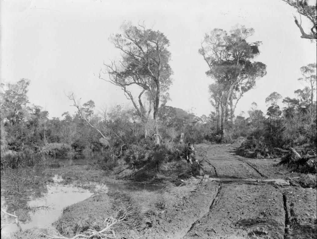
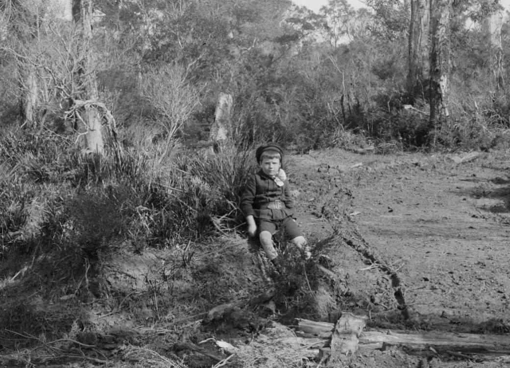
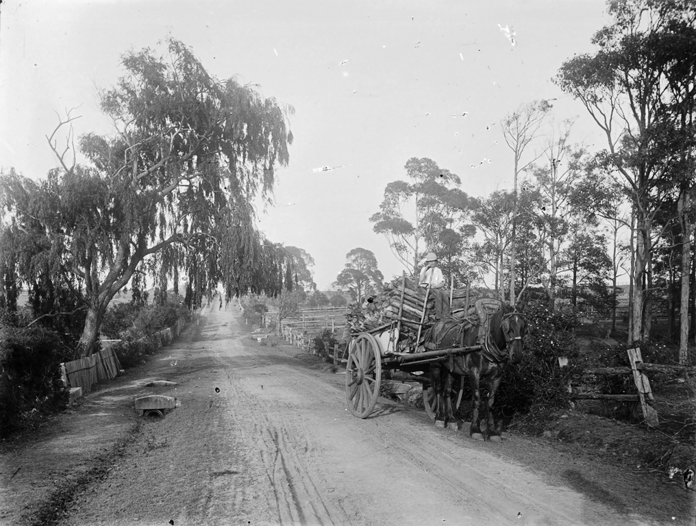
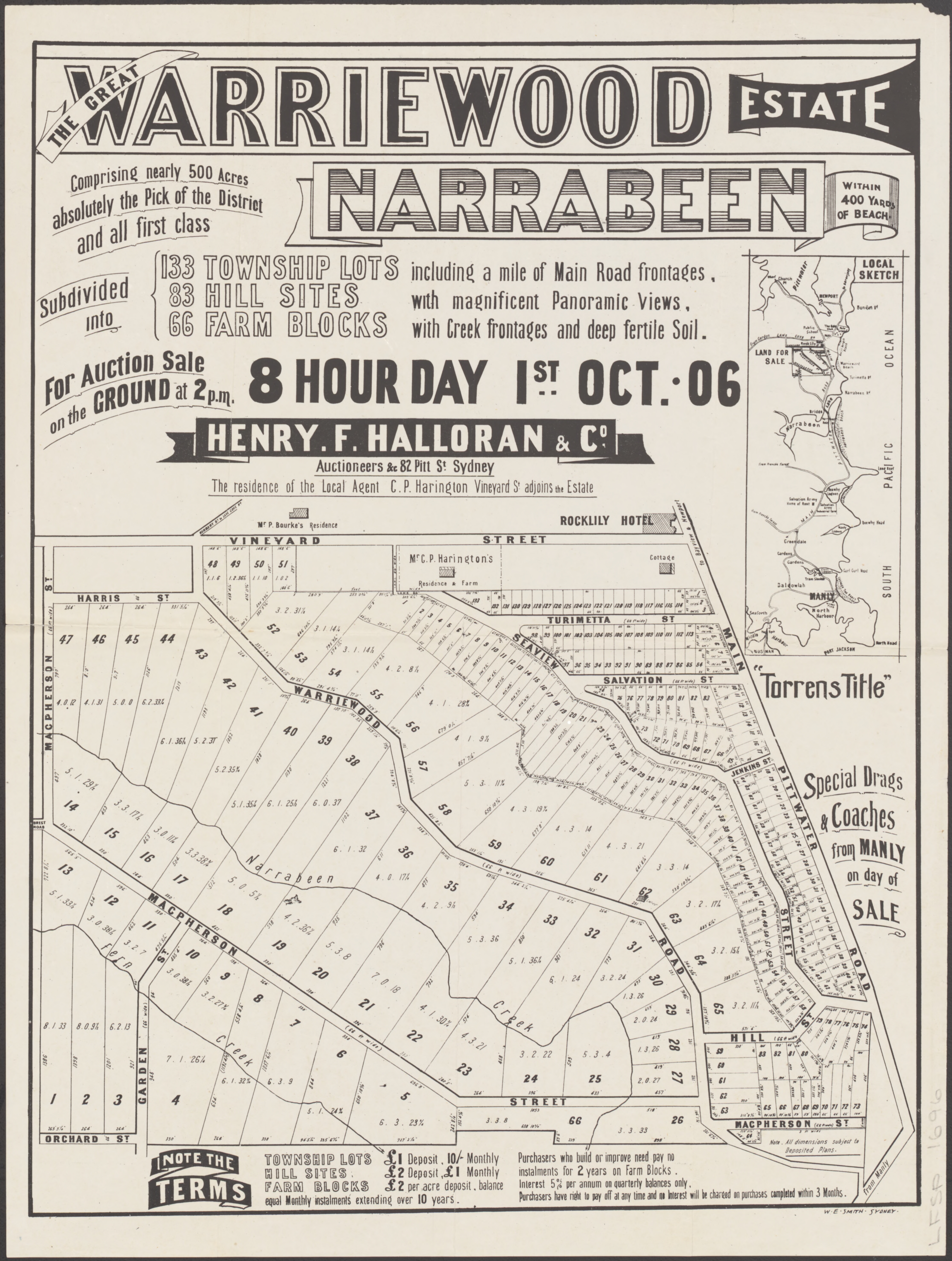
More in:
North Narrabeen and Narrabeen
Originally known as ‘Narrowbine’.
The spelling 'Narrowbine', without any indication of how this was actually pronounced, is one of a few spellings of what is currently spelt 'Narrabeen'. There have been 'Narrowbean' with one report stating the name refers to a type of bean that grew beside the lagoon, 'Narrabang' when describing John Ramsay's 410 Land Grant in 1818, 'Narrabene' as used by a member of the Jenkins family when offloading their 'inheritence' in 1877, as well as 'Narrabeen' and stating this was the name of an indigenous girl who, legend would have it, saved a settler from bushrangers. The February 1801 record in the journal of Lieutenant James Grant as a name given to the body of water is the only direct to those already present word or name on record - and how it was pronounced does not form part of that record.
Narrabeen was the name originally given to the stretch of beach and land between Narrabeen Lagoon and Long Reef - the name 'Collaroy' dates from a street named for the steamship of the same name in 1881.
Wreck of the S.S. Collaroy, 1881 / photographer unknown. State Library of NSW Image No: a1528938: A passenger steamer owned by the Australian Steam Navigation Company, built in 1853, went ashore on Collaroy Beach in 1881 and remained there for almost 3 years, giving her name to the stretch of sand and ocean. When refloated she went back into service plying between Sydney and the Hunter River. She was withdrawn from duty in 1886, converted to a schooner, sailed to San Francisco, where she again ran ashore and broke her back on the Californian Coast in 1889.
In THE NARRATIVE OF A VOYAGE OF DISCOVERY, PERFORMED IN HIS MAJESTY'S VESSEL THE LADY NELSON, OF SIXTY TONS BURTHEN, WITH SLIDING KEELS, IN THE YEARS 1800, 1801, AND 1802, TO NEW SOUTH WALES. BY JAMES GRANT, LIEUTENANT IN THE ROYAL NAVY, [CHAPTER IV. Occurrences and Transactions in New Holland and New South Wales] his entry for February 1801 reads;
Governor King having appointed Garden Island for the purpose of raising vegetables for the crew of the Lady Nelson, I accordingly took possession of it. There was the shell of a tolerable house on it, which required much repair to make it habitable. I sent Dr. Brandt, who had volunteered with me at the Cape, with his dog and baboon to the island, as he had no inclination to go again to sea, having been much incommoded with sea sickness during the voyage hither. I therefore judged it would be a good place for him to reside at in my absence, and take charge of my property; a very necessary precaution against nocturnal visitors, who laid hold on and carried off every thing that was portable. As the poor Doctor was obliged to part with every article of provisions I had given him to some of these depredators, who paid him a visit, I applied to the Governor, who very readily issued an order that no person should attempt to land on the Island without his or my leave. This put a stop, in a great measure, to such practices. There not being any fresh water on it, I was obliged to lend the Doctor a small boat, which one person could pull about with a pair of sculls, till I could purchase one for the use of the Island; but, unfortunately the Doctor lost this. One of the young men who came out with me, and who had entered on board another vessel in the harbour, borrowed it from him for the purpose of fishing, leaving the vessel's boat that he came in with his companion till his return. Three days elapsed, and not hearing any tidings of them, the Doctor became very uneasy. I set on foot every enquiry, but without effect; and what vexed me much, was, that the young man was one of those who had run off with the same boat at Port Praya. I offered a reward to any one who would give me information of the boat; and though the weather was very bad, I was under the necessity of sending my first-mate round to Hawkesbury River with another in search of it. I also formed the resolution of walking to Pittwater, which joins the Hawkesbury, and branches inland a considerable way, affording many little Creeks and Coves, where the natives assemble at times to fish.
On the 25th of February I set out, the weather thick and cloudy, accompanied by a soldier of the New South Wales Corps, one of my own people, a native and his wife, as guides. Ensign Bareillier, of the same Corps, volunteered going in the boat with the mate. The path I took was intricate, but very romantic. As it rained hard towards evening, my guide halted near a wood, taking us to a place where two old men were sitting by a fire, and which had the appearance of several others having been there very recently. This temporary habitation was formed by a rock overhanging the place they were seated on, and called by them Gablegunnie, being the term for the hut, or the House of the Rock. The two men did not seem to receive us with any particular marks either of friendship or indifference; and from what I afterwards learned they were both doctors, which probably induced my guide to visit them, as his back had been much hurt, and he was troubled with a difficulty of breathing. They gave us from a bag-net a few fish they had gathered off the rocks; but on removing the skin, (which is used by them as bait in fishing,) they smelt so offensive that we could not eat them. I gave them some bread in return, and we parted well pleased with each other. They told us that a little farther on there was a party of natives employed in fishing, who had two huts built near a long sandy beach. As the night was likely to be very dark with heavy rain, I intended, if possible, to shelter ourselves with them. Our guide was so ill, that he appeared incapable of going on with us, and promised to get one of them to accompany us to Pittwater. ....
I found the huts larger and better constructed than I had as yet seen or heard of: they were built of timber procured from the wreck of a small vessel, which lay stranded on the shore at no great distance. In one but there were three men, four women and two children; and in the other, which was very small, a a man and his wife. The natives very kindly took from their hiding places some large and excellent fish, such as snappers, and salmon, so called in this country, I presume, from their scales. These they laid whole on the fire, which was placed in the middle of the hut. As soon as one side of the fish was done they placed it on the other, opposite to where I sat, beginning to eat while that was broiling, inviting me by signs to follow their example; which I and my companions readily did, being both hungry and wet, it having rained very hard, and we found ourselves very comfortable. Situated as we were, I could not avoid remarking to myself how easily nature was satisfied; the only thing I wanted being salt. The curiosity of these poor people with respect to many things about us was very great; particularly in observing a head raised in silver on the butt-end of the pistol stuck in my waist-belt; and also in the ticking-noise of my watch, which the women and children wondered much at, mimicking its sound as they held it up to their ears.
Having sent my guide and his wife with the seaman to the small hut, I and the soldier lay down to sleep with our feet to the fire. One of the women was very ill during the night, and groaned much, being seized with spasms in her stomach, as I afterwards understood. In the night-time the soldier was wakened by one of the men, who requested he would go with him to fetch some water. On the former (who understood the language) asking him why he could not go alone, he was answered, "You know me murrey jarrin, that is, much afraid. The soldier being unwilling to stir, asked, "What he was afraid of? The native said, "of the Bogle;" the term for the Evil Spirit, or Devil; which shews that superstition is very predominant amongst them. As I wished for some water, I desired the man to get up and bring me some, which he did in a small vessel shaped like a canoe, made of bark, the native accompanying him.
We got up before day-light, and having taken one of our hospitable friends for a guide, who was both more robust, and stronger than the natives are in general in this part of New Holland, he armed himself with a spear, and moved onwards with us till we came near to the banks of a stream, which the natives call Narrowbine....
More in:
- Pittwater Roads II: Where the Streets Have your Name - Narrabeen
- Pittwater, Narrabeen Lagoon & The Collaroy Beachfront: Some Storms And Flood Tides Of The Past - With Pictures!
- The Collaroy Paddle Steamer: New Ephemera Added To Public Records - Her Connections To Pittwater
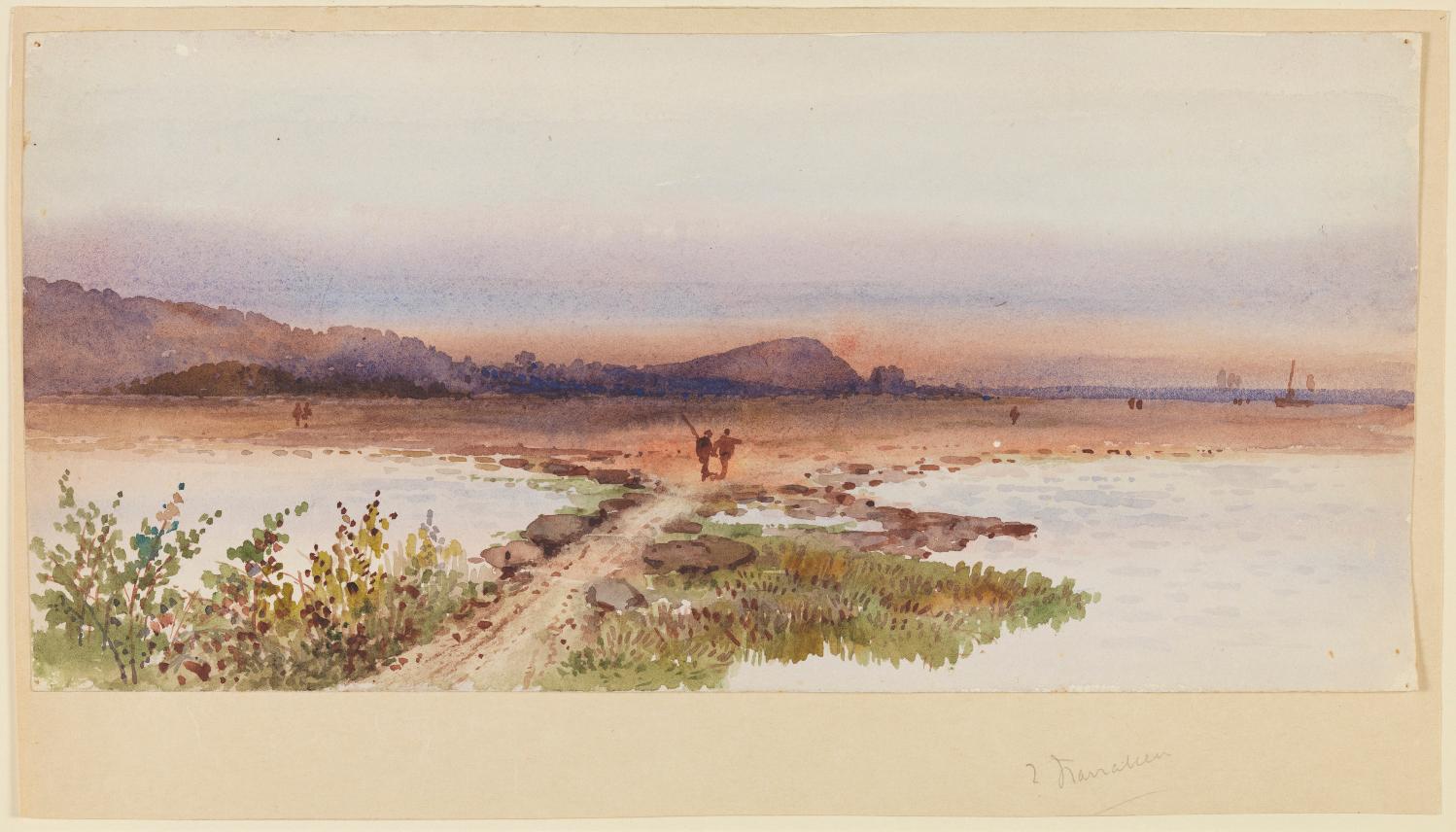
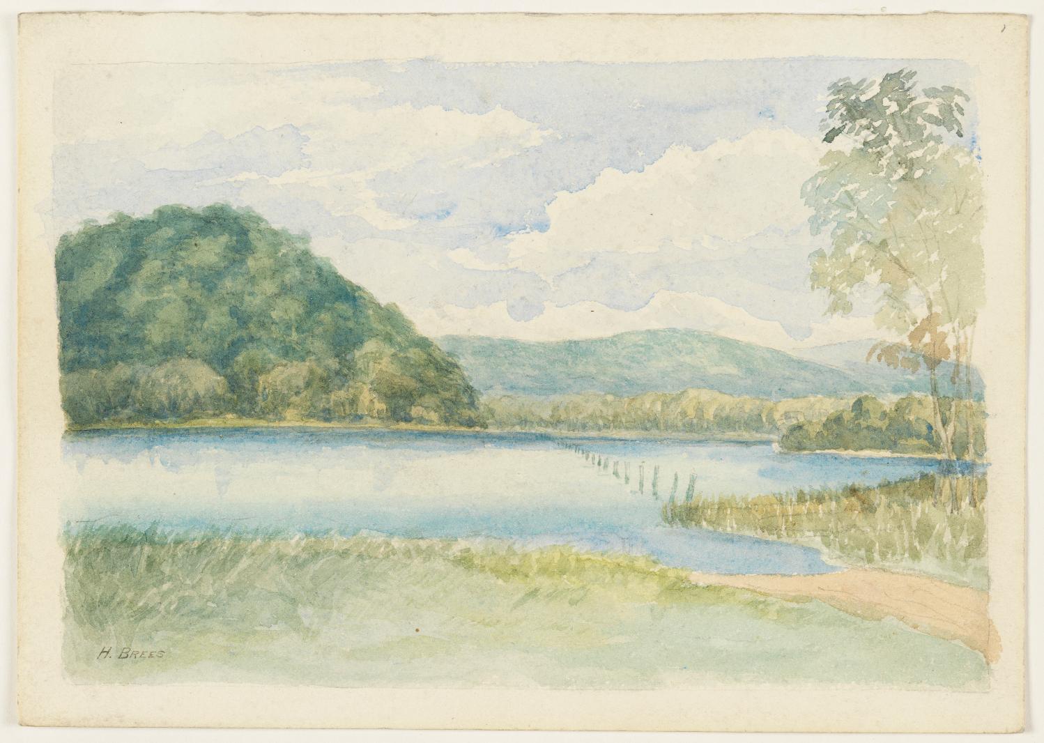

Collaroy Beached, courtesy State Records and Archives of NSW, Item; FL3659193

Collaroy Beach 1925, courtesy State Records and Archives of NSW, Item; FL4900425

Narrabeen 1925, courtesy State Records and Archives of NSW, Item; FL4900156
Clareville
In the Pittwater Streets Have Your Name series, those for Careel Bay, Avalon Beach and Clareville record the name of 'Clareville' possibly stems from a fondness of the original holder of many of these lands as grants, J. J. Therry, for the names and words from his Irish homeland. 'Scorcha' is common to both the Irish and Scottish Gaelic languages, and is derived from a Gaelic word meaning "brightness". In Scotland, Sorcha has traditionally been Anglicised as 'Clara', which retains the name's Gaelic meaning: the English Clara is derived from the Latin clarus, meaning "bright", "famous". The word 'ville' has a definition: ( denoting ) a place, condition, or quality with a character as specified, - a combining form extracted from place names ending in -ville,. In this context 'Clareville' had a meaning of being a 'bright place' and may describe the open brightness of Careel Bay, where an original wharf was built by Rev. Therry for access to this area.
By the 1880's a 'Claraville wharf' was used as a selling point in some earlier advertisements, access by water being easier than that given by the tracks that were available on the land:
PITTWATER ESTATE. TWO VERY CHOICE BLOCKS, being LOTS III. and IV. of the NORTH DIVISION known as KRETCHMANN'S FARM. containing a total area of 193 acres 2 roods 28 perches, two sides of which are fenced with a two-rail fence. THE HOMESTEAD consists of two slab cottages, roofed with Iron, one containing 4 rooms and the other 2 rooms besides which there are various sheds for cattle, pigs, poultry, &c. There are also two paddocks, one of 6 and the other of 8 acres, newly fenced with a 6-barbed wire fence, and cleared ready for cultivation. There is a plentiful supply of water on the property, while the land has a frontage to the main road of 1673 foot by a great depth to the waters of Broken Bay, to which it has also a large frontage. Fine views of the Hawkesbury River and the ocean, at same time well sheltered from adverse winds. The tramway on the Military-road is expected to pass through the farm, and it is only 10 minutes walk from Claraville Pier, Pittwater. Grand block for subdivision purposes. Advertising. (1886, January 11). The Sydney Morning Herald(NSW : 1842 - 1954), p. 12. Retrieved from http://nla.gov.au/nla.news-article28359687
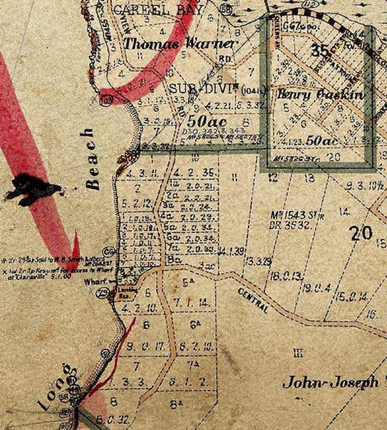
Pre- 1905 Land Titles Map - Showing 'Claraville' and 'Long Beach' and the site of the wharf and land taken from 'W.B. Smith & others at 'Claraville''. Courtesy Land Titles Office Historic records of NSW.
Originally called ‘Farrell’s Beach’ (as Newport Beach was too) and 'Long Beach' on early maps the original land grant right on Clareville Beach itself was 60 acres promised to John Williams on the 24th of December 1816 and measured by James Meehan April 15th 1821. This acreage was purchased by Thomas Street 14 January 1824 for £40 Measured by James Larmer July 1832 and then purchased by John Farrell prior to 9 April 1835
By the time of the 1828 census, Farrell had probably purchased John Williams’ grant at Clareville from Thomas Street, who had bought it from Williams in 1824. After enquiries made by surveyor Samuel Dalgety August 1841 it was granted to John Farrell 18 May 1843 [LTO SN56/180]. He conveyed to his son Thomas Farrell on the 16th February 1881 [LTO Book 214 No.392]) who conveyed it to his sister Hanna W Martha Malcolm for £1 on 2nd of December 1885 .[LTO Book 327 No.903]) - Profiles of the Pioneers in Manly, Warringah and Pittwater, 2013, by Shelagh Champion OAM and George Champion OAM
More in:
- Pittwater Reserves: The Green Ways Clareville and Taylor's Point Wharves
- The Clareville/Long Beach Reserve: Some History Notes + Current Day Photos
- Pittwater Roads II: Where the Streets Have Your name - Clareville
- Pittwater Roads II: Where The Streets Have Your Name - Avalon Beach
- Pittwater Roads II: Where The Streets Have Your Name - Careel Bay
- Early Pittwater Paddlers, Oarsmen, Rowers and Scullers: The Fox Family
- Early Pittwater Paddlers, Oarsmen, Rowers and Scullers: The Paddon Family Of Clareville (Or Clairville)
- Early Pittwater Paddlers, Oarsmen, Rowers and Scullers: The Green Family
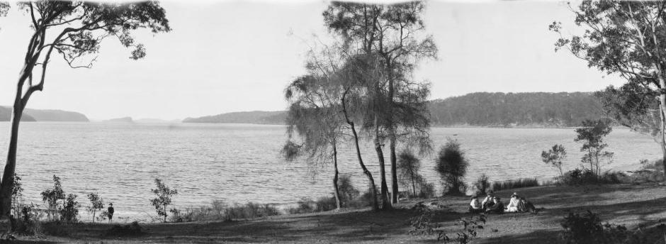
'Panorama of Taylors Point' - 2, Pittwater, New South Wales circa 1917-1921, courtesy National Library of Australia, Image No.: nla.pic-vn6149430 - Part of Enemark collection of panoramic photographs [picture] [1917-1946] . Below: Sections from above panorama
Clareville Beach Estate, Newport-Pittwater - Beach Pde, Hilltop Rd, Central Rd, 1914
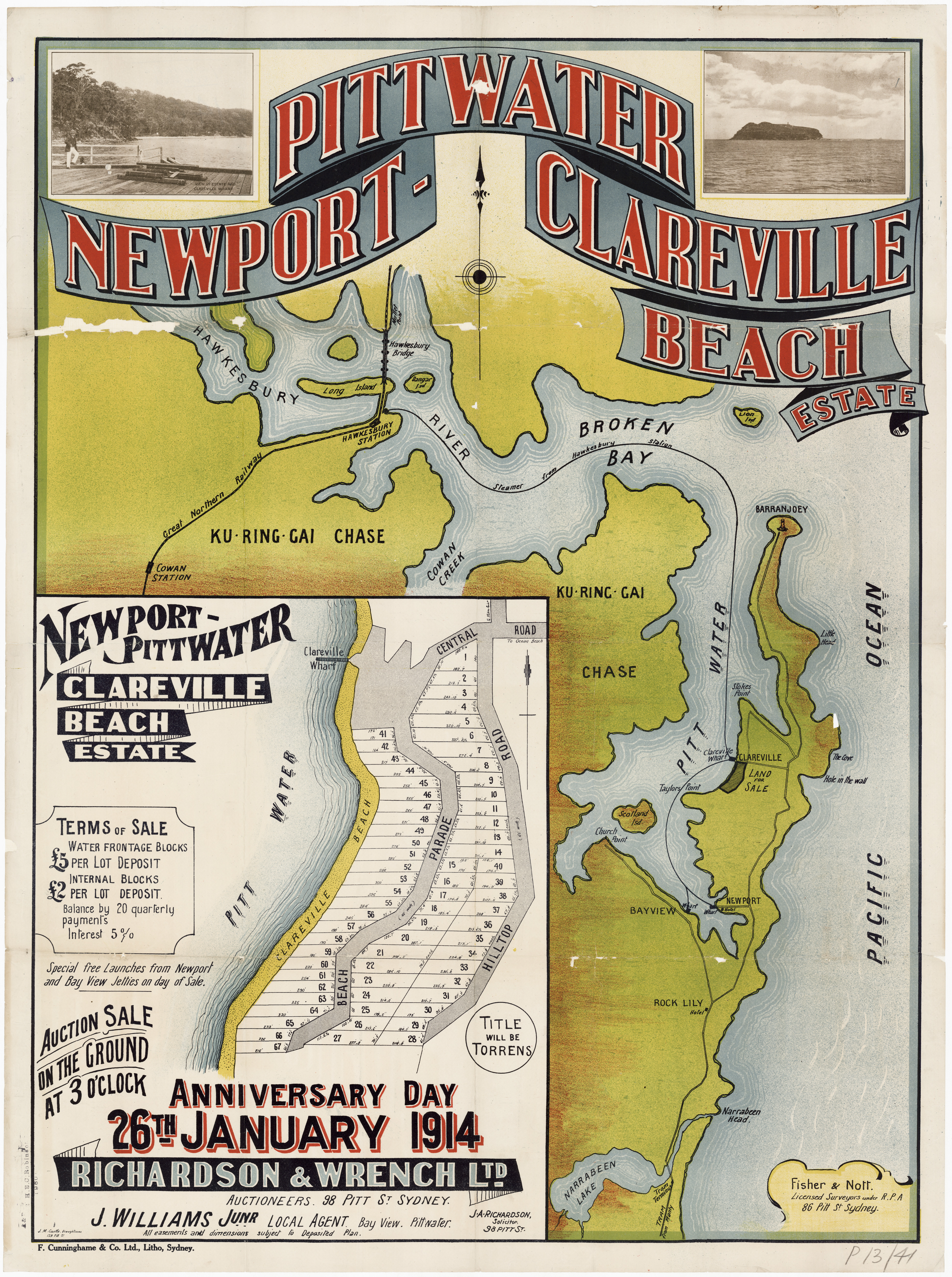
.jpg?timestamp=1553714661290)
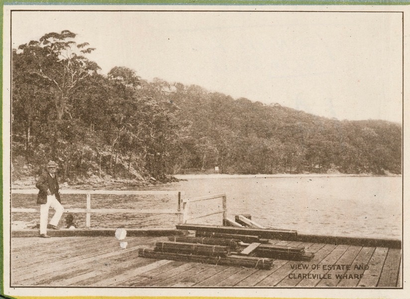
Mona Vale
Also known originally as Turimetta and Rock Lily. The name 'Mona Vale' would appear decades later and was named for the farm run by David Foley. This gentleman was murdered.
EARLY MANLY.
TO THE EDITOR OF THE HERALD.
Sir,-In Thursday's "Herald" Mr. Alfred Newham, in his letter, stated that there was no Mona Vale in the early days. This is quite at variance with the fact, as the land from Sheep Station Hill to Pittwater was occupied by my grandfather prior to 1825, and named by him Mona Vale. Correspondence from him in 1830 is extant at the Mitchell Library, and the shingles for the first St. Mary's were supplied by him from timber grown at Mona Vale.
I am, etc,
MARY FOLEY
Deewhy, July 12. EARLY MANLY. (1935, July 18). The Sydney Morning Herald(NSW : 1842 - 1954), p. 6. Retrieved from http://nla.gov.au/nla.news-article17201367
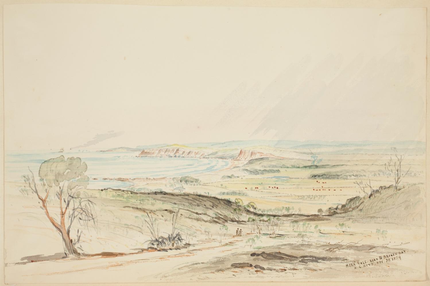
David Foley, a clerk, was convicted in County Cork, Ireland, in March 1817, and sentenced to transportation for life, for the offence of “felony, wounding”. He arrived in Sydney on 1 April 1818, when he was described as 5 feet 4½ inches tall, of dark ruddy complexion, with brown hair and hazel eyes. He was 19 years old.
He married Sarah Andrews, the step daughter of Martin Burke, on 14 February 1823 at St Mary’s Church, Sydney. Sarah had been born in the Colony, and was then aged about 20.
Martin Burke had the lease of the 700 acre farm at Bungin (now Mona Vale), which he sub-leased to David Foley on 4 April 1825. A covenant reserved to Burke cattle grazing rights, the use of one room in the dwelling house and half an acre of garden ground. David received his ticket of leave in 1826.
More in:
- The Murder of David Foley by Shelagh Champion OAM
- Mona Vale Outrages by George Champion OAM
- Maria Louisa Therry - Pittwater Matriarchs series
- Pittwater Restaurants you could stay at: The Rock Lily Hotel – Mona Vale
- Pittwater Reserves the Green Ways: Mona Vale's Village Green
- The Black Swamp camping reserve becomes Kitchener Park, Beeby park & Mona Vale Golf Course
- Early Mona Vale Constable owned Mona Vale Hotel site: some history
- A Community Memorial Hall for Mona Vale - a 22 year odyssey that culminated in victory: November 1944 to November 1966
- Mona Vale Public School
- Pittwater Roads II: Where The Streets Have Your Name - Mona Vale, Bongin Bongin, Turimetta and Rock Lily
- Taramatta-Turrimetta-turimetta Park, Mona Vale
- Turimetta Beach Reserve: Old & New Images + Some History - June 2021 Stroll From North Narrabeen To Warriewood Beach
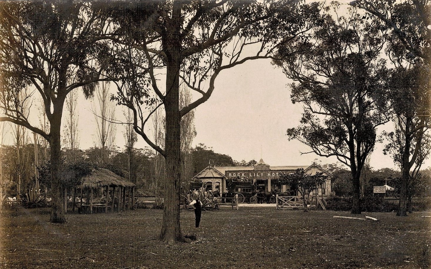
The grounds opposite Rock Lily Hotel - circa 1901-1907
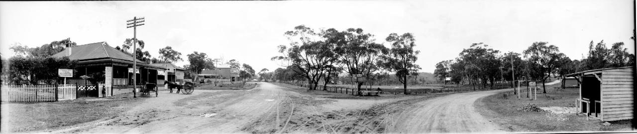
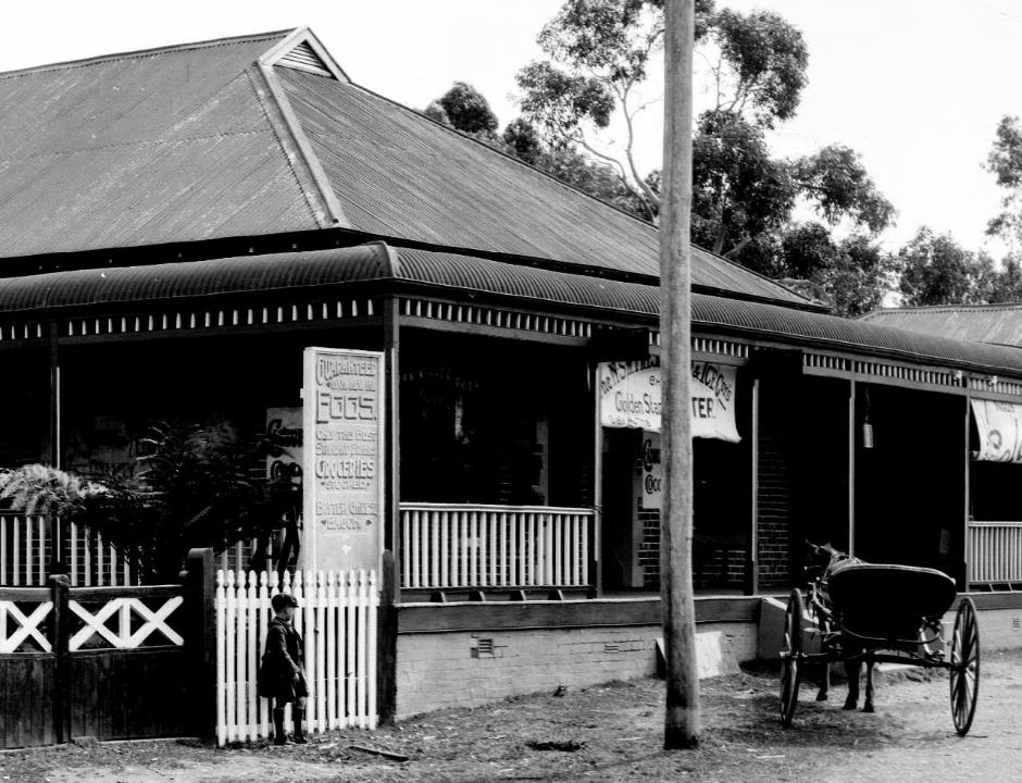
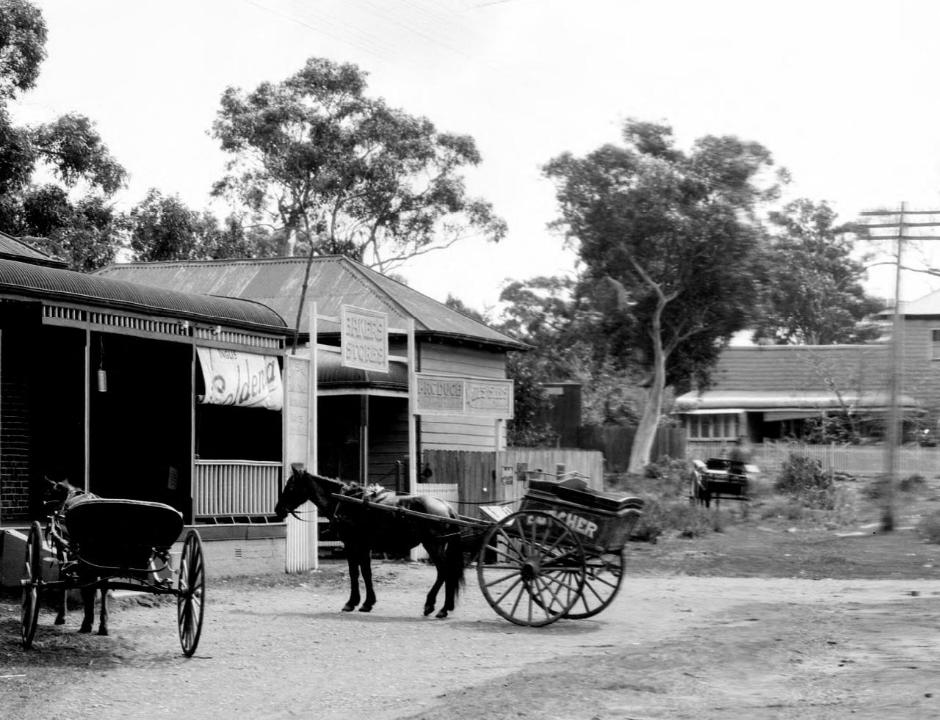
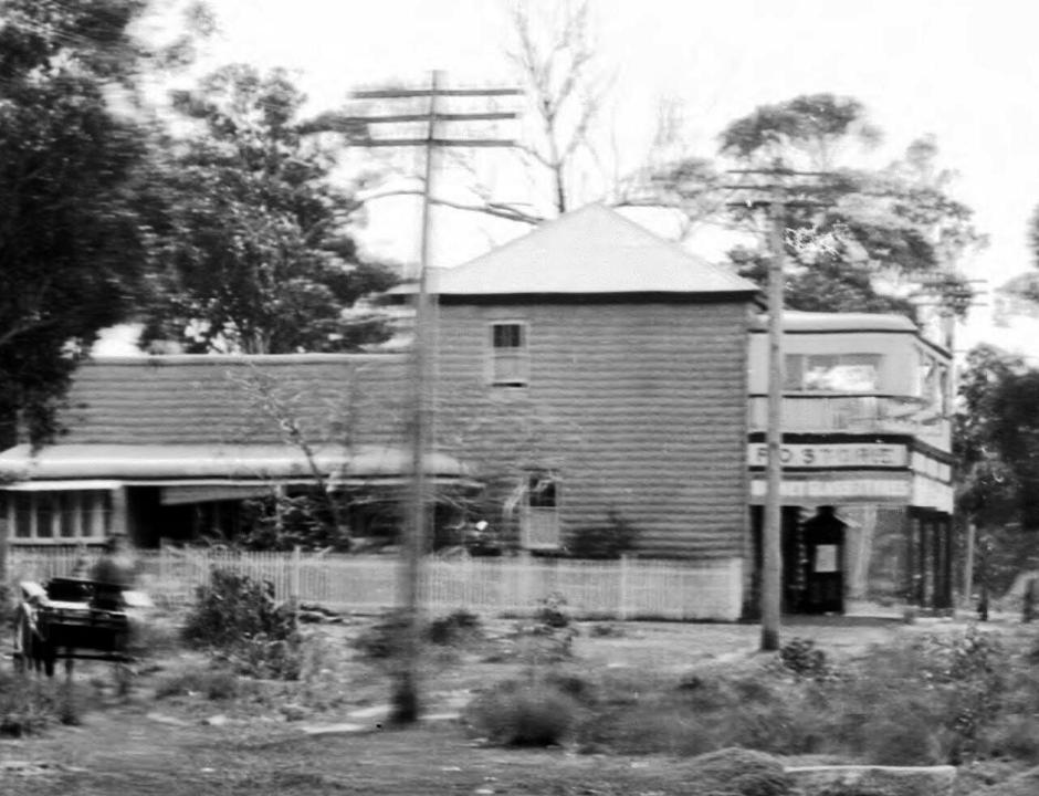
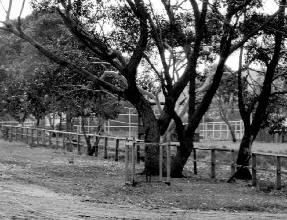
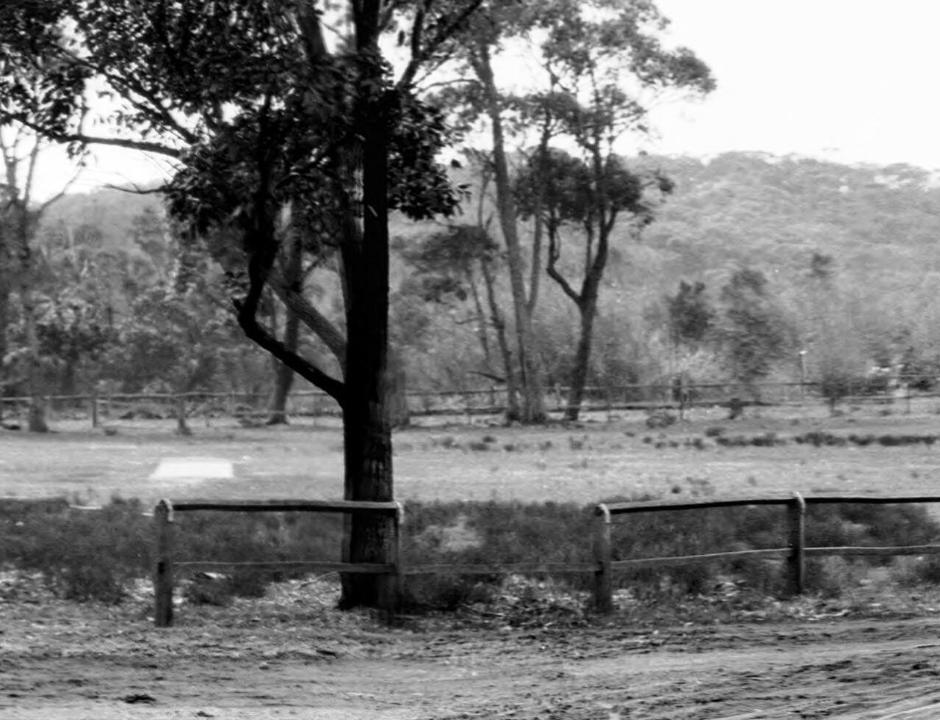
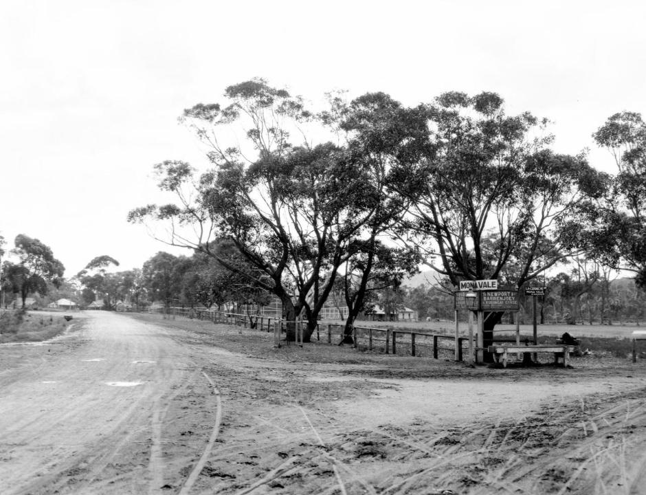
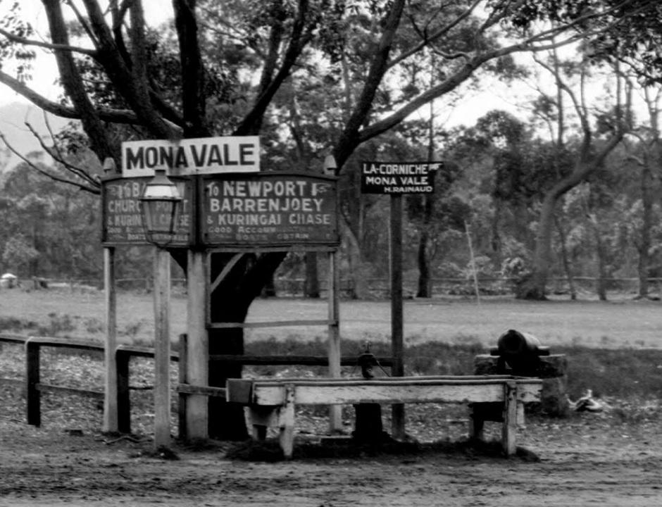
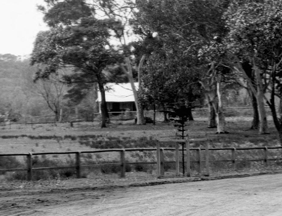
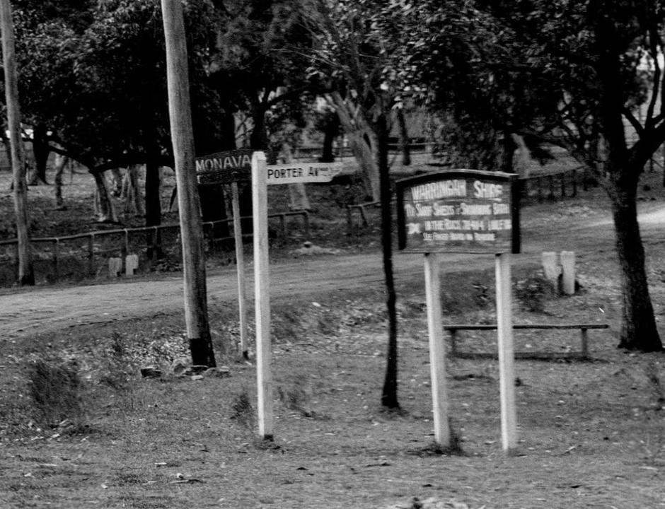
Newport
Stems from the November 1880 ‘Marine Township of Newport’ by Jeanerette and Pile and the use of 'new' + 'port' in reference to the easiest access being available by the Pittwater estuary in 1879-1880.
Newport is one of the first places by a few decades where names for roads can first be seen to have been allocated by the land sellers - mostly for the selling of land at 'The Marine Township of Newport'.
This emphasis on the 'marine' aspect reflects that during this period the road to Barrenjoey was more of a track and people could access the area more easily via the Pittwater estuary itself, with steamers bringing excursionists to disembark at Careel Bay from at lest 1871 and Newport from a few years later. Thousands came.
What today we know as the Newport Wharf at the end of Queen’s parade (west) below current Newport Arms hotel began as a pier or jetty on piles, circa 1879, which was known as 'Boulton's Wharf' and opposite the Newport Hotel. An 1885 application to renew the permissive occupancy for Boulton's wharf states it is 6 perches long (30.1752metres).
The later edition of a wharf to the north below that hotel built by Charles Edward Jeannerett in anticipation of developing the then heavily wooded and pristine Newport. This Newport Hotel wharf was initially called 'Victoria wharf' after Queen Victoria, whose two sons visited in 1883 and took tour of Pittwater and the Hawkesbury, embarking from the wharf named for their mother.
Although seemingly nameless for this period, it would have been described in terms by those who were eye witnesses early and by advertising material for contractors by real estate developer George Pile, real estate speculator, agent and auctioneer, who was contracted to aid in this venture:
January 1880: TO CONTRACTORS – TENDERS are wanted for clearing roads and about forty acres of land at the new Pittwater Marine Township. Apply Mills and Pile, 112, Pitt Street. Advertising. (1880, January 19). The Sydney Morning Herald(NSW : 1842 - 1954), p. 2. Retrieved from http://nla.gov.au/nla.news-article13450418
But our steamer, the good ship Florrie, owned by Mr. Jeannerett, is in waiting, lying alongside a jetty at the head of the bay, so we immediately embarked for our destination, Barrenjoey, a distance of about eight miles. On the opposite side of the bay is New Port, the property of Messrs. Mills and Pile and Mr. Jeannerett, who are erecting an hotel, for the accommodation of visitors to the bay. It will have a fine situation; and when the place becomes more widely known, as it deserves to be, the hotel will doubtless be largely availed of. LAYING the FOUNDATION-STONE of a NEW LIGHTHOUSE at BARRENJOEY. (1880, April 17). The Sydney Morning Herald (NSW : 1842 - 1954), p. 7. Retrieved from http://nla.gov.au/nla.news-article13458288
Although Piles and Jeannerett did not officially own land here until February 1880, they clearly had rights enough from late 1879 via scoping works to run the Mail Conveyance from Manly to the Central Coast.
Conveyance of Mails – accepted Tenders
Manly and Newport, via Brady's, Jenkins's, and Boulton's, by coach ; and Newport, Barrenjoey, Blackwall, Kincumber, and Gosford, by steamer, twice a week. In the event of bad weather preventing the steamer from crossing the bar, contractor will be required to convey the mails on horseback between Gosford and Patonga on the same day as despatched from Manly or Gosford. Contractors will also be required to bring the mails form Gosford and places en route, on from Manly to Sydney on the same evening as they are received at Manly —C. E. Jeanneret, 1 year, £270. ACCEPTED TENDERS. (1880, November 13). The Australian, Windsor, Richmond, and Hawkesbury Advertiser (NSW : 1873 - 1899), p. 2. Retrieved from http://nla.gov.au/nla.news-article66358071
They were viewed as gentlemen who were already contributing much to the development of Sydney both as standing to represent Canterbury and local MP’s or Councillors (Pile was defeated at elections he stood for in November, 1880, only getting 493 votes; two representatives, William Piggott and William Henson were voted in, getting 2,513 (42.11%) and 1,380 (23.12%) respectively). Jeannerett was an alderman of Hunter's Hill and mayor in 1870-71, 1877-78 and 1890. From 1886 he represented Bourke ward in the Sydney City Council. As a magistrate he administered 'strict justice and sound common sense' in the Water Police Court. He was defeated for Central Cumberland in 1875, he represented Carcoar in the Legislative Assembly in 1887-89 and 1891-94 as a free trader. (1.)
Department of Public Works: (Contracts and Tenders;) Sydney May 21st 1880: Road, Manly to Pittwater-Contracts 1 and 1L .Advertising. (1880, May 22). The Sydney Morning Herald (NSW : 1842 - 1954), p. 10. Retrieved from http://nla.gov.au/nla.news-article13460485
The development of Newport as a 'resort' was a key factor in seeing the oft called for 'improvements' finally materialise from those earliest days, as was Mona Vale residents determination to see 'Mona Vale go ahead' - first signalled with the opening of Taramatta Park (now known as the Village Green park at Mona Vale) and continuing into the 1920's and 1950's with calls for electricity, for water pipes to be connected to houses. These developments give us the names of 'subordinate roads' - they also show when and where these were built first, and improved. The first of these:
We have received from Messrs. Mills, Pile, and Gilchrist, (who have published it for the proprietors) an interesting pamphlet descriptive and illustrative of the beauties and attractions of Newport, Pittwater, and the celebrated Hawkesbury lakes. The work consists of about eight pages of letter-press and nine carefully lithographed drawings, depicting the more important scenes and places of interest in the locality.
The description is capably written, and the illustrations, lithographed by Messrs. S. T. Leigh and Co., from water colour drawing- by Mr. H. Brees, are very creditably executed, and give excellent ideas of the places represented. Appended is a plan and local sketch of the new marine township of Newport, and altogether the publication is one which will commend itself highly to all interested in one of the most picturesque spots on the New South Welsh coast. NEW'S OF THE DAY. (1880, August 26). The Sydney Morning Herald (NSW : 1842 - 1954), p. 5. Retrieved from http://nla.gov.au/nla.news-article13466890

Campbell Avenue (main view) Newport, from the corner of Beaconsfield Street, from album Pittwater scenes, 1880 / Harold Brees courtesy State Library of NSW - note the Telegraph wires. The drawings appear to be the originals for six of the lithographs illustrating 'The Pittwater and Hawkesbury Lakes album'. [Sydney] : Mills, Pile & Gilchrist, 1880. (Lithographed by S.T. Leigh & Co.)
PRINCE OF WALES BIRTHDAY. SALE OF ALLOTMENTS IN THAT CHARMING SANATORIUM, NEWPORT, THE LOVELIEST SPOT IN AUSTRALIA.DON'T FORGET TO ATTEND THE SALE, THE TOWNSHIP IS LAID OUT ON A GRAND SCALE. THE MAIN-STREET IS 2 CHAINS WIDE. Call for a Lithograph, MILLS, PILE, and GILCHRIST, Auctioneers. PRINCE OF WALES BIRTHDAY. THE GREAT SALE of the SEASON. THE MOST GLORIOUS PICNIC. THE GREAT SALE of the NEW WATERING PLACE, NEWPORT. AT THE HEAD OF PITTWATER, CLOSE TO MANLY. THE PORT OF THE HAWKESBURY. REGULAR COACH ACCOMMODATION TO MANLY-. REGULAR COMMUNICATION BETWEEN BRISBANE WATER.THE STARTING PORT of the HAWKESBURY STEAMERS. THE MOST BEAUTIFUL RETREAT in NEW SOUTH WALES. ATTEND THE SALE' on the 9th NOVEMBER. PRINCE OF WALES' BIRTHDAY". THE FIRST SALE OF ALLOTMENTS IN THE NEW MARINE TOWNSHIP OF NEWPORT. MILLS, PILES and GILCHRIST will sell by public Auction, on the GROUND, NOVEMBER 9th, at 2 p.m . SEVERAL SECTION'S IN THAT MOST PROMISING TOWNSHIP, which possesses the following advantages :
IT IS NEAR a beautiful OCEAN BEACH, at the head of a lovely- bay, between romantic headlands. It has extensive frontage to the deep waters of PITTWATER LAKE. THE LINE of STEAMERS for-BRISBANE WATER and the Hawkesbury start from the NEWPORT WHARF. THE SCENERY is beautiful in the extreme, the views from the adjacent mountains are most extensive, the vegetation superb. IT WILL he the head centre of YACHTING and FISHING PARTIES. AS A PROOF of its prospects, it may be mentioned that although the HOTEL (now an accommodation house only, until a license is got for it) has only been occupied ONE MONTH, yet the tenant has made APPLICATION for 12 additional rooms, and offered to contribute to the cost of the same. THE PROPRIETORS have so high an opinion of the FUTURE of NEWPORT, that they have decided to sell only a portion thereof, and hold the remainder for some years to come. ATTEND THE SALE. LIBERAL TERMS. LITHOGRAPHS NOW READY. Advertising. (1880, November 5). The Sydney Morning Herald(NSW : 1842 - 1954), p. 10. Retrieved from http://nla.gov.au/nla.news-article13478153
FOR SALE AT THE ROOM'S, 114, PITT-STREET, some FINE BUSINESS SITES in the TOWNSHIP OF NEWPORT, suitable for Hotels and Shops. A good business will be done there before long, Newport being the true PORT OF THE HAWKESBURY. The terms will be £5 deposit on each lot, and the balance 20s per month. Advertising. (1880, November 24). The Sydney Morning Herald(NSW : 1842 - 1954), p. 13. Retrieved from http://nla.gov.au/nla.news-article1348357190


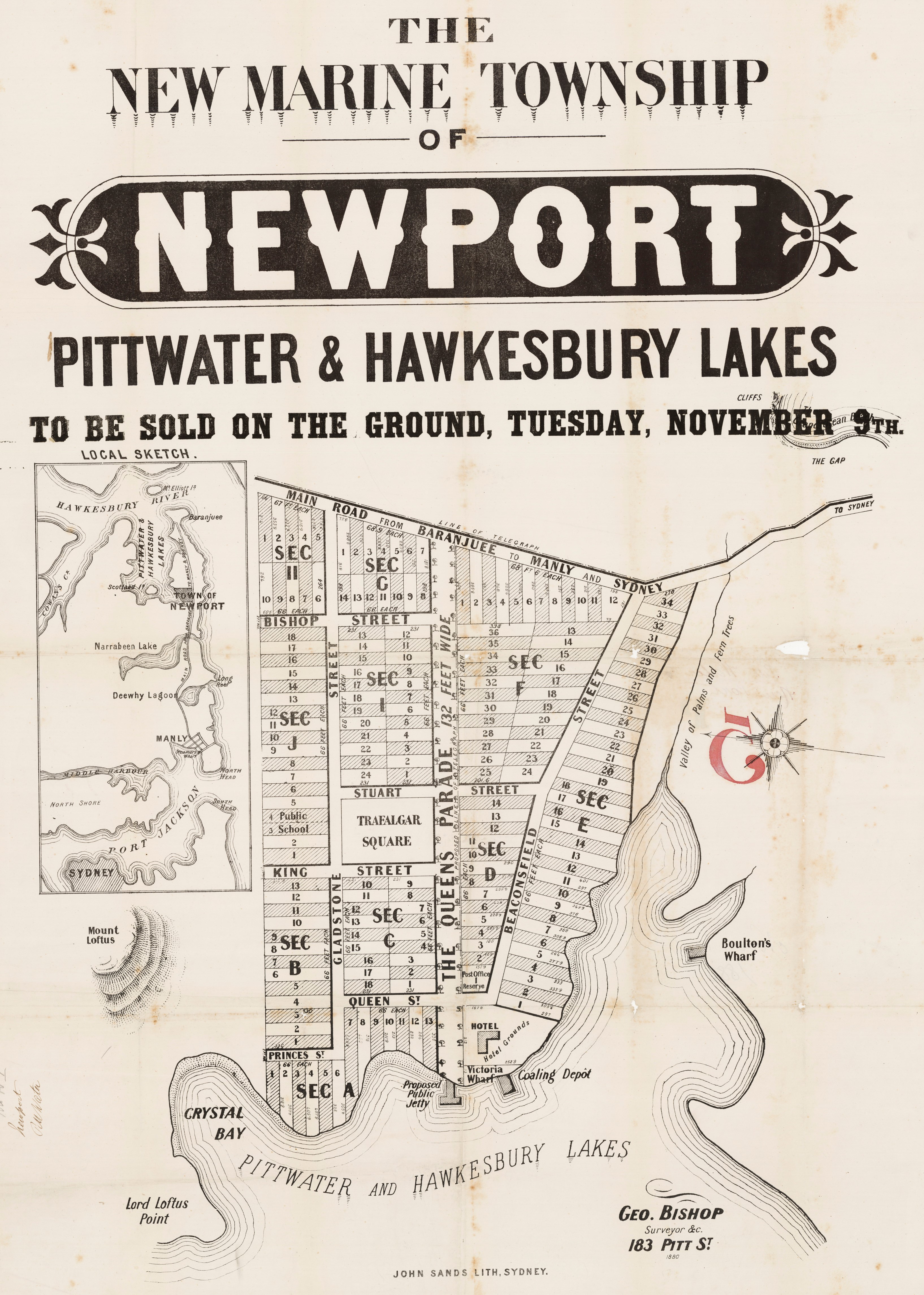
A road improvement along the old Pittwater road route commenced at the other end of the peninsula:
Department of Public Works: (Contracts and Tenders;) Sydney May 21st 1880: Road, Manly to Pittwater-Contracts 1 and 1L .Advertising. (1880, May 22). The Sydney Morning Herald (NSW : 1842 - 1954), p. 10. Retrieved from http://nla.gov.au/nla.news-article13460485
The land, from the then released Basset-Darley Estate, was bought from George Osbourne and Alexander Stuart (later Sir) - one of whose surnames turns up as the western street name alongside Trafalgar Square as Stuart Street:
At Pittwater the Bassett Darley estate was sold in two parts. In 1880 Charles Edward Jeanneret and George Pile paid 732 [pounds sterling] for 118 acres on which to establish the New Marine Township of Newport, (49) while the remaining land, apart from a one acre lot purchased by the Church of England, was bought by John William Cliff for 8000 [pounds sterling] in 1886. (50)
(49) Land Titles Office, Old System Deeds Book 201, No. 916; Book 224, No. 576.
(50) Land Titles Office, Old System Deeds Book 340, No. 647.
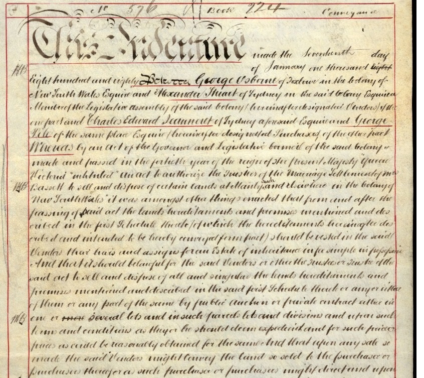
%20Newport%20land%20jeanerrett%20Giles.jpg?timestamp=1629760598410)
%20Newport%20land%20jeanerrett%20Giles.jpg?timestamp=1629760623019)
Images courtesy HRLV - Book 224 Number 576
Barrenjuie Road, Victoria Wharf, about 200 feet south of what is now the Newport public wharf, and Post Office Reserve. The following names were chosen for the 'streets' and wharf as they were: Victoria Wharf, to commemorate the name of Queen Victoria, Queen Street and Queen Parade, named for the same monarch and reason(Queen street was later renamed Kalinya), King Street, after King George III, Gladstone Street after William Ewart Gladstone, British statesman and Liberal Party politician, Beaconsfield Street, after Benjamin Disraeli, 1st Earl of Beaconsfield and another British politician, and Bishop Street after George Bishop, the Surveyor.

From: Brees, Harold & S.T. Leigh & Co & Mills, Pile & Gilchrist. (1880). The Pittwater and Hawkesbury Lakes album Retrieved from http://nla.gov.au/nla.obj-460123425
The development of Newport as a 'resort' was a key factor in seeing the oft called for 'improvements' finally materialise from those earliest days, as was Mona Vale residents determination to see 'Mona Vale go ahead' - first signalled with the opening of Taramatta Park (now known as the Village Green park at Mona Vale) and continuing into the 1920's and 1950's with calls for electricity, for water pipes to be connected to houses. These developments give us the names of 'subordinate roads' - they also show when and where these were built first, and improved. The first of these:
We have received from Messrs. Mills, Pile, and Gilchrist, (who have published it for the proprietors) an interesting pamphlet descriptive and illustrative of the beauties and attractions of Newport, Pittwater, and the celebrated Hawkesbury lakes. The work consists of about eight pages of letter-press and nine carefully lithographed drawings, depicting the more important scenes and places of interest in the locality.
The description is capably written, and the illustrations, lithographed by Messrs. S. T. Leigh and Co., from water colour drawing- by Mr. H. Brees, are very creditably executed, and give excellent ideas of the places represented. Appended is a plan and local sketch of the new marine township of Newport, and altogether the publication is one which will commend itself highly to all interested in one of the most picturesque spots on the New South Welsh coast. NEW'S OF THE DAY. (1880, August 26). The Sydney Morning Herald (NSW : 1842 - 1954), p. 5. Retrieved from http://nla.gov.au/nla.news-article13466890
Campbell Avenue (main view) Newport, from the corner of Beaconsfield Street, from album Pittwater scenes, 1880 / Harold Brees courtesy State Library of NSW - note the Telegraph wires. The drawings appear to be the originals for six of the lithographs illustrating 'The Pittwater and Hawkesbury Lakes album'. [Sydney] : Mills, Pile & Gilchrist, 1880. (Lithographed by S.T. Leigh & Co.), courtesy State Library of NSW
PRINCE OF WALES BIRTHDAY. SALE OF ALLOTMENTS IN THAT CHARMING SANATORIUM, NEWPORT, THE LOVELIEST SPOT IN AUSTRALIA.DON'T FORGET TO ATTEND THE SALE, THE TOWNSHIP IS LAID OUT ON A GRAND SCALE. THE MAIN-STREET IS 2 CHAINS WIDE. Call for a Lithograph, MILLS, PILE, and GILCHRIST, Auctioneers. PRINCE OF WALES BIRTHDAY. THE GREAT SALE of the SEASON. THE MOST GLORIOUS PICNIC. THE GREAT SALE of the NEW WATERING PLACE, NEWPORT. AT THE HEAD OF PITTWATER, CLOSE TO MANLY. THE PORT OF THE HAWKESBURY. REGULAR COACH ACCOMMODATION TO MANLY-. REGULAR COMMUNICATION BETWEEN BRISBANE WATER.THE STARTING PORT of the HAWKESBURY STEAMERS. THE MOST BEAUTIFUL RETREAT in NEW SOUTH WALES. ATTEND THE SALE' on the 9th NOVEMBER. PRINCE OF WALES' BIRTHDAY". THE FIRST SALE OF ALLOTMENTS IN THE NEW MARINE TOWNSHIP OF NEWPORT. MILLS, PILES and GILCHRIST will sell by public Auction, on the GROUND, NOVEMBER 9th, at 2 p.m . SEVERAL SECTION'S IN THAT MOST PROMISING TOWNSHIP, which possesses the following advantages :
IT IS NEAR a beautiful OCEAN BEACH, at the head of a lovely- bay, between romantic headlands. It has extensive frontage to the deep waters of PITTWATER LAKE. THE LINE of STEAMERS for-BRISBANE WATER and the Hawkesbury start from the NEWPORT WHARF. THE SCENERY is beautiful in the extreme, the views from the adjacent mountains are most extensive, the vegetation superb. IT WILL he the head centre of YACHTING and FISHING PARTIES. AS A PROOF of its prospects, it may be mentioned that although the HOTEL (now an accommodation house only, until a license is got for it) has only been occupied ONE MONTH, yet the tenant has made APPLICATION for 12 additional rooms, and offered to contribute to the cost of the same. THE PROPRIETORS have so high an opinion of the FUTURE of NEWPORT, that they have decided to sell only a portion thereof, and hold the remainder for some years to come. ATTEND THE SALE. LIBERAL TERMS. LITHOGRAPHS NOW READY. Advertising. (1880, November 5). The Sydney Morning Herald(NSW : 1842 - 1954), p. 10. Retrieved from http://nla.gov.au/nla.news-article13478153
Newport Hotel, from album Pittwater scenes, 1880 / Harold Brees courtesy State Library of NSW - note the Telegraph wires. The drawings appear to be the originals for six of the lithographs illustrating 'The Pittwater and Hawkesbury Lakes album'. [Sydney] : Mills, Pile & Gilchrist, 1880. (Lithographed by S.T. Leigh & Co.)courtesy State Library of NSW
FOR SALE AT THE ROOM'S, 114, PITT-STREET, some FINE BUSINESS SITES in the TOWNSHIP OF NEWPORT, suitable for Hotels and Shops. A good business will be done there before long, Newport being the true PORT OF THE HAWKESBURY. The terms will be £5 deposit on each lot, and the balance 20s per month. Advertising. (1880, November 24). The Sydney Morning Herald(NSW : 1842 - 1954), p. 13. Retrieved from http://nla.gov.au/nla.news-article1348357190
Messrs. Mills. Pile, and Gilchrist held a sale of land, in the new marine township of Newport, at their rooms, to-day, and report having sold 46 allotments at prices ranging from £8 to £42 per lot. MONETARY AND COMMERCIAL. (1880, November 26). The Sydney Morning Herald (NSW : 1842 - 1954), p. 4. Retrieved from http://nla.gov.au/nla.news-article13478101
One of the big purchasers of multiple lots of land was William Boulton.
Pittwater scenes, 1880 / Harold Brees, Pittwater Church of England and Boulton's farm. Image No.: c13730_0003_c, courtesy State Library of New South Wales.
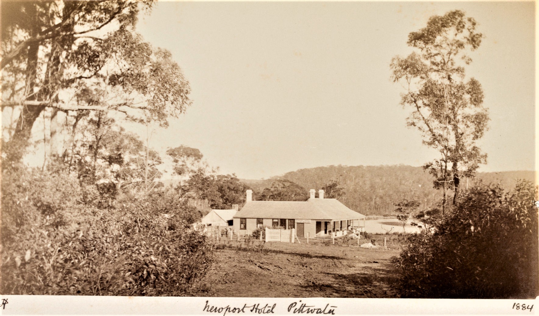
Newport Hotel, circa 1884, a Robert Hunt photograph, courtesy State Library of NSW
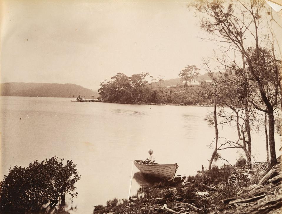
More in:
- Pittwater Roads II: Where The Streets Have Your Name - Newport
- The Newport School: 1888 To 2016
- Newport Hotel wharf named for Queen Victoria - also earlier version; Newport Wharf
- The 'Newport Loop': Some History
- Pittwater Roads II: Where The Streets Have Your Name - Bungan Beach
- Trafalgar Square, Newport: A 'Commons' Park Dedicated By Private Landholders - The Green Heart Of This Community
- Historic Photographers Of Pittwater: A. J. (Arthur James) Vogan, 1859-1948
- Photographers Of Early Pittwater: Charles Bayliss
- Photographers of early Pittwater: Henry King
- Pittwater Summer Houses: Ocean beach House - The Combers, Newport beach
- Pittwater's Tropical Fruits: The Estuarine Farmlets At Mona Vale-Newport That Kept Sydney Stocked With Hot Area Fruit In The Middle Of Winter
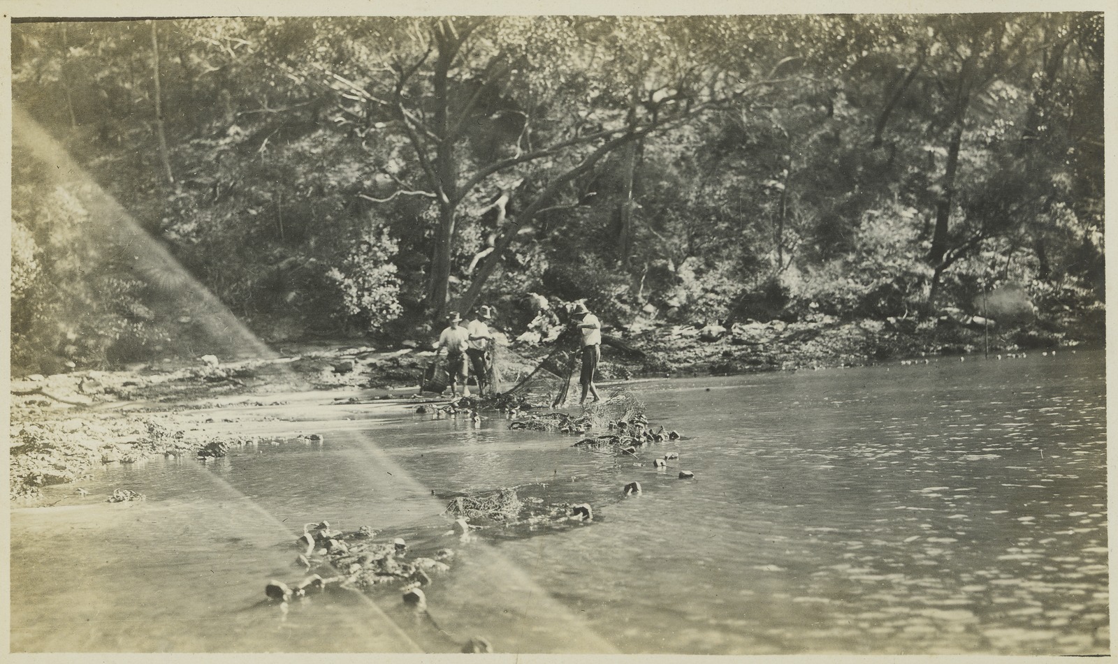
Corner of Beaconsfield street Newport and Barrenjoey Road, Sunday May 11th 1913. That is Boulton's cow shed and cows to the right of picture and looking down hill towards Newport Hotel. From 'Album 62: Photographs of the Allen family, 11 May 1913 - 15 October 1913' Item: SLNSW_FL137438 -courtesy State Library of NSW:
![]()
A foot or two further back - same angle:
![]()
Bilgola Plateau and Bilgola Beach
Stems from the Aboriginal word ‘swirling waters’ applied to the beachfront and tidal valley that runs back from the beach. Also later called ‘Mick’s Hollow’ and ‘Dalley’s Beach’ due to the ownership of same by Manly resident W. B Dalley.
Bilgola is stated by some to be named after an Aboriginal word meaning “swirling waters” and seems to have been a popular fishing spot for our original custodians prior to the arrival of settlers. First mapped by Government Surveyor James Meehan, the word ‘Belgoula’ was noted in his records of 1814.
It should be noted that this name also was used for a farm on Winny Jimmy bay at that time as well, and also used for the name of Bungan head on old maps used by coasters and steamships.
The Champions provide:
Robert Henderson was born at Parramatta in 1796, and married Catherine Geary on 4 March 1817 at St. John’s, Parramatta. Henderson was promised a 60 acre grant at Pittwater on 10 September 1818, under the name Anderson. Meehan surveyed the grant in September 1821, but because the wrong name was used Robert Henderson had to wait another twenty years, until 1 March 1841, before the deed of his grant, which he named “Belgooler”, was issued. [LTO SN56/98] By 1828, Jeremiah Bryant was a tenant on “Belgooler” or “Belgoula”.
Henderson bought Jeremiah Bryant’s 80 acre farm at the head of Pittwater in 1822. [Syd Gaz 4 Oct 1822] From 1824 Henderson held a ticket of occupation over a grazing run of 1000 acres adjoining “Belgooler”. By November 1826, Henderson had moved to Brisbane Water, leaving only 20 cattle on the 1000 acres. Thomas Bolton was also grazing 80 cattle there.
“Belgooler” was land-locked, but Henderson gained access to and from Pittwater by his purchase of Richard Porter’s adjacent grant, on 29 September 1831. [AO Reel 1173]
Catherine Henderson’s father was Patrick Geary, a soldier. Following the disbanding of the Royal Veteran Company on 24 September 1823, Geary became entitled to select a grant of 100 acres in any part of the Colony that had been surveyed. He selected his grant at Brisbane Water, naming it “Veteran Hall”. Henderson had moved to Brisbane Water by November 1826, and after Geary’s death in 1827 he inherited Veteran Hall. From there he traded with his vessels, one of which was the sloop Northumberland. He was closely involved in the Fair Barbadian smuggling incident in 1842.
Robert Henderson died on 11 November 1869, having sold his own and Porter’s grants to Daniel Farrell II, with Daniel’s father John Farrell II as trustee. [LTO Book 162 No.26] Henderson left Bryant’s 80 acre grant to his grandson, who sold it to Frederick Thomas Humphery on 14 October 1881. [LTO Book 232 No.299] - PROFILES OF THE PIONEERS IN MANLY, WARRINGAH AND PITTWATER by Shelagh Champion, OAM, B.A.(Lib.Sc.) and George Champion, OAM, Dip.Ed.Admin. 2013 Revised version

Bilgola Beach, near Newport, 1912 courtesy NSW Records and Archives, Item; FL2703467

[section from] Panorama from the vicinity of Newport, from Farrells Hill, 1912, courtesy State Records and Archives of NSW, Item: FL2703195
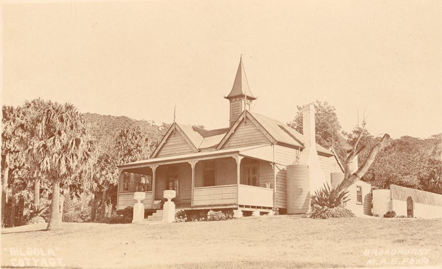
.jpg?timestamp=1728008464468)
.jpg?timestamp=1728008508749)
.jpg?timestamp=1728008536765)
.jpg?timestamp=1728008565001)


Mona Vale views: Bilgola 1925, courtesy State Records and Archives of NSW, Item: FL4900107

Mona Vale views: corner of Bilgola, 1925, courtesy State Records and Archives of NSW, Item: FL4900884
The road between Newport and Avalon Beach used o go own into Bilgola and then up along the old Serpentine route. The new 'Bilgola Bends' - and what is still known as 'Kamikazee Corner', was built in 1926 and tarred later on as a Main Road by the Main Roads Department:
SHIRE OF WARRINGAH.
Proposed Special loan of £5.800.
NOTICE is hereby given that it is the intention of- the Warringah Shire Council to apply for authority under section 180, Local Government Act, 1919, to borrow the sum of £5,800 for the purpose of carrying out the undermentioned works within A Riding of the Shire, and for purposes incidental thereto, namely:—
Barrenjoey-road—Formation of three deviations of Barrenjoey-road, between Neptune-street, Newport, and Avalon-parade, Avalon—at estimated cost of £5,430 Contingencies £370
The interest payable on such loan shall not exceed six and a half (6 1/2 ) per cent, per annum, and it is proposed to arrange the loan on terms which shall provide for the repayment of principal and the payment of interest combined in half-yearly instalments extending over a period of ten years. The approximate amount of each such instalment will be £398 18s. 4d.
To provide the sum necessary for such instalments, it is proposed to levy a local loan rate of three-fifths of a penny (3/5d.) in the £ on the unimproved capital value of all ratable land within the area described in the subjoined Schedule, and generally known as the Barrenjoey Peninsula. Should such rate not provide sufficient for the purpose, the balance will be paid from the General Fund of the Shire. The total unimproved capital value of all ratable lands in such area is £267,842.
Plans, specifications and reports, giving details of the proposal may be inspected at the Shire Hall, Brookvale, during office hours.
Within one month of the publication of this notice any number not less than 25 per cent, of the ratepayers of A Riding may petition the Council to take a poll of ratepayers, either as to Whether such ratepayers approve of the loan or as to Whether the loan rate should be on the unimproved capital value or the improved capital' value, or on both questions. The number of ratepayers enrolled for the area affected is 1,021.
Schedule.
All that land bounded on the north by the entrance to Broken Bay; on the east by the Pacific Ocean; on the west by Pittwater Bay; and on the south by the southern boundaries of Village Reserve 18,805, parish portion 21, block VI of the Southern Division of Pittwater Estate, and parish portion 31.
R. G. JAMIESON, Shire Hall, Brookvale. Shire Clerk.
23rd November, 1925. SHIRE OF WARRINGAH. (1925, November 27). Government Gazette of the State of New South Wales (Sydney, NSW : 1901 - 2001), p. 5353. Retrieved from http://nla.gov.au/nla.news-article223017028
SHIRE OF WARRING AH.
Proposed Special Loan of £28,200.
NOTICE is hereby given that it is the intention of the 1 Warringah Shire Council to apply for authority, under I section 180, Local Government Act, 1919, to borrow the sum of £28,200 for the purpose of carrying out the undermentioned works within A Riding of the Shire, and for purposes incidental thereto:—
1. Construction of Barrenjoey-road, from Seaview-parade, Newport to Beach-road, Palm Beach, including proposed deviations between Neptune-street and Avalon-parade, estimated cost (excluding cost of formation of deviations) ,— 17,600
2. Construction of Warriewood-road, from Pittwater-road to Vineyard-street, at estimated cost of 1,700
3. Construction of Powderworks-road; (a) from Pittwater-road to eastern end of Kobado-road; (b) Kobado-road, for its entire length; and (c) Powderworks-road, from the western end of Kobado-road to its junction with the Gordon-Mona Vale road, at estimated cost of 4,000
4. Construction of Gladstone-street, Newport, estimated cost 1,000
5. Drainage of Black Swamp Reserves, Mona Vale 1,900
6. Resumptions, surveys and contingencies .. 2,000
The interest payable on such loan shall not exceed six and half (6$) per cent, per annum, and it is proposed to arrange the loan on terms which shall provide for the repayment of principal and the payment of interest, combined, in half-yearly instalments extending over a period of ten years. The approximate amount of each such instalment will be £1,939 11s. 4d,
To provide the sum necessary for such instalments, it is proposed to levy a local loan rate of four-fifths of a penny (4/5ths d.) in the £ on the unimproved capital value of all ratable lands in A Riding of the Shire. Should such rate not provide sufficient for the purpose, the balance will be paid from the General Fund of the Shire. The total unimproved capital value of all ratable lands in A Siding is £3,005,162.
Plans, specifications and reports giving details of the proposal may be inspected at the Shire Hall, Brookvale, during office hours.
Within one month of the publication of this notice, any number, not less than 25 per cent, of the ratepayers of A Biding, may petition the Couneil to take a poll of ratepayers, either as to whether such ratepayers approve of the loan, or as to whether the loan rate should be on the unimproved capital value or the improved capital value, or on both questions. The number of ratepayers enrolled for A Biding is 3,892.
(N.B.—The foregoing proposal is in lieu of the proposal notified in the Government Gazette of 2nd October, 1925.)
R. G. JAMIESON, Shire Hall, Brookvale, Shire Clerk.
23rd November, 1925.
SHIRE OF WARRINGAH. (1925, November 27). Government Gazette of the State of New South Wales (Sydney, NSW : 1901 - 2001), p. 5354. Retrieved from http://nla.gov.au/nla.news-article223017024
BARRENJOEY ROAD.
GREAT PLEASURE DRIVE.
The Minister for Local Government has approved of the Warringah Shire Council's application to borrow £28,200 for the reconstruction of roads and the drainage of public reservation reserves in A riding.
The principal work will be the tar-metalling of a length of 6 miles 11 chains of the Pittwater-road including 1 mile 46 chains of road deviation between Newport and Avalon. The main road from Manly to Newport is, it is understood, to be tar-metalled or concreted by the Main Roads Board. The council's proposal is to tar-metal from the end of the main road right through to the narrow neck of road between Palm Beach and Barrenjoey, thus creating what is regarded as an unrivalled pleasure drive.
The deviation of the road between Newport and Avalon is to be defrayed from an additional loan of £5800, which has also been approved. BARRENJOEY ROAD. (1926, April 29). The Sydney Morning Herald (NSW : 1842 - 1954), p. 8. Retrieved from http://nla.gov.au/nla.news-article16289112
The 1938 post-works photos:

Barrenjoey Road looking south across gully at Bilgola [From NSW Government Printer series: Main Roads.] August 3 1938, (after road resurfacing of Bilgola Bends), courtesy State Records and Archives of NSW, Item: FL3663975

Barrenjoey Road looking south: north of quarry, Bilgola [From NSW Government Printer series - Main Roads.],August 3 1938, (after road resurfacing of Bilgola Bends), courtesy State Records and Archives of NSW, Item: FL3663896
More in:
- Pittwater Reserves: The Green Ways Bilgola Beach - The Cabbage Tree Gardens and Camping Grounds
- Roads In Pittwater: The Barrenjoey Road
- Pittwater Roads II: Where The Streets Have Your Name - Bilgola
- Tallamalla-Bilgola Cottage-Bilgola House
- Dame Nellie Melba Lunches at Bilgola Cottage
- Bilgola Beach - The Cabbage Tree Gardens & Camping Grounds + Bilgola The Story Of A Politician, A Pilot and An Epicure
- NFSA Releases Unseen Footage Of Nellie Melba To Celebrate Her 160th Birthday On May 19th: The Day Dame Nellie Melba Lunched At Bilgola Cottage
Bungan Beach
Originally also known as 'Belgoula' after farm that ran at Winny Jimmy Bay - and possibly from 'Bongin Bongin'. See Bilgola above notes on same. There is also a story that emerges from an article which describes the original First Nations inhabitants speaking of 'bangin bangin' to describe the sounds of settlers gunfire in the area.
Bungan also has meaning of 'birth' in the Richmond and Tweed Districts. Further away indigenous languages give the meaning 'sunlight' to the word Bungan.
Bungan Beach, may also have been named from Bongin Bongin (meaning ‘lots of shells’ from Indigenous languages) for Mona Vale beach. Bungan remains one of those tucked away Pittwater sandy coves whose steep sides keep this place relatively empty.
Bushrangers Hill to the north overlooks the beach and was the place some sources state Bowen Bungaree was murdered in 1853 by the Bushranger Casey and three others.
The land, until urbanisation, was relatively open and used for farming by the Yewen family who built Bungania there in 1890, now at 77a Myola Road, Newport.
The whole of Bungan Beach and surrounds to the Newport estuary edge formed part of the Robert Campbell Jnr. grant that then was owned by D'Arcy Wentworth and became the Bassett - Darley Estate.
In Mona Vale Outrages George Champion OAM relates the history of what became known as 'Mona Vale Farm' and the persecution of any and all who took over the lease on this property, including the The Murder of David Foley as related in an earlier Issue by Shelagh Champion OAM.
Pitt Water Property.
MR. A. POLACK will let by private contract, Two first-rate producing farms, on which are erected buildings amounting in value to upwards of £3000. There is also a good weatherboarded house, containing three rooms, verandah,and skillion, &c There are six acres in cultivation. The estate, containing altogether 140 acres, has several paddocks, besides cultivation grounds. This property is situated in the parish of Narrabeen, between Bangan Head and Bilgola Head, on the sea coast, near the Little Reef, and only one mile from the landing place at Pitt Water, and the best watered farm in the whole of the district.
As a proof, the auctioneer will sell, with the place to be leased, for three, five, or seven years, and a very low rate, 40 first-rate milking cows. The proprietor of this well known dairy establishment would have remained in occupation of it, but having received a very severe Injury, he is obliged to vacate it, in order to be near the City, for the purpose of receiving the best medical treatment. Terms known on application at the rooms of the auctioneer, Pitt-street, Sydney. Advertising. (1854, March 20). The Sydney Morning Herald(NSW : 1842 - 1954), p. 7. Retrieved from http://nla.gov.au/nla.news-article12957864
As Mr Champion states:
“Mona Vale” continued to be advertised for lease until July 1862. About this time James Therry arrived in the Colony with his family. He was the nephew of the Rev John Joseph Therry, who had substantial land holdings to the north of John Farrell II. James Therry took the lease of “Mona Vale” and renovated the house for his family. However, before they could occupy the residence it was destroyed by fire, on 5 November 1862. Suspicion fell on John Farrell II, as Therry had already had occasion to speak to him about his cattle trespassing on “Mona Vale”, whereupon Farrell had said that Mr Therry would not remain on the farm for six months. At the inquest into the fire, however, the jury concluded that “the said premises, situated at Mona Vale, Pitt Water, were wilfully and maliciously set fire to, but the evidence does not clearly show who the guilty party or parties are.”
According to the Sydney Morning Herald, Therry was then threatened that if he did not leave the district he might expect further injury, not only to his property but to his person.
The Therry family persevered, living in tents and a makeshift hovel. A reporter from the Empire, who visited the remains of the ruined homestead, said he saw standing near what had been the hearth of the burnt dwelling-house, a woman, who, from her manners and conversation, was evidently a lady. A number of young children were also gathered round a small hovel which had been erected on a rising ground beyond.
The lady spoken of was Maria Louisa Therry (nee Barry) born 1819.
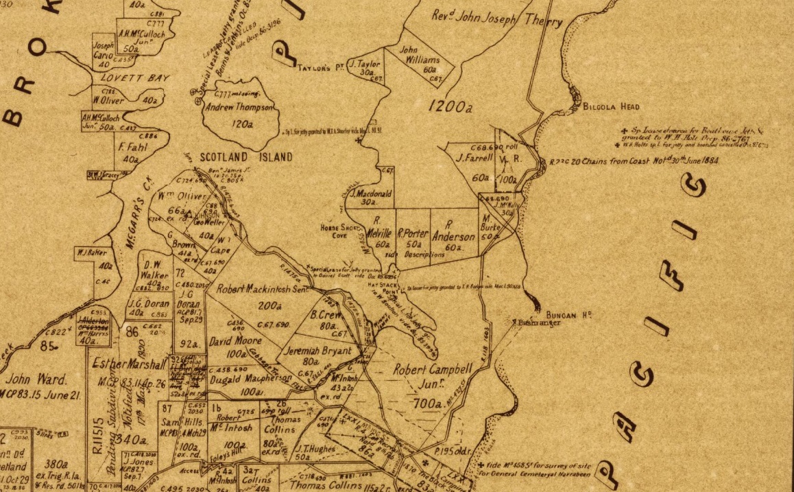
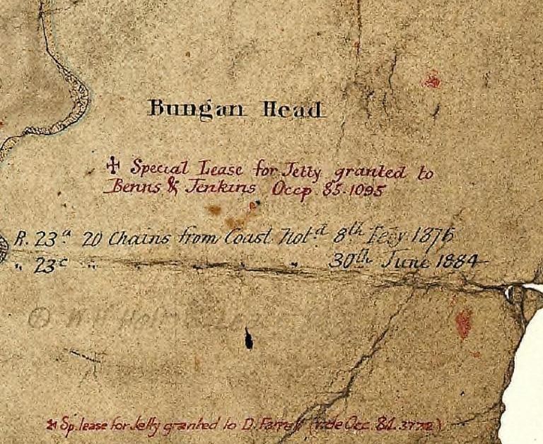
Pittwater scenes, 1880 / Harold Brees, Pittwater Church of England and Boulton's farm. Image No.: c13730_0003_c, courtesy State Library of New South Wales.
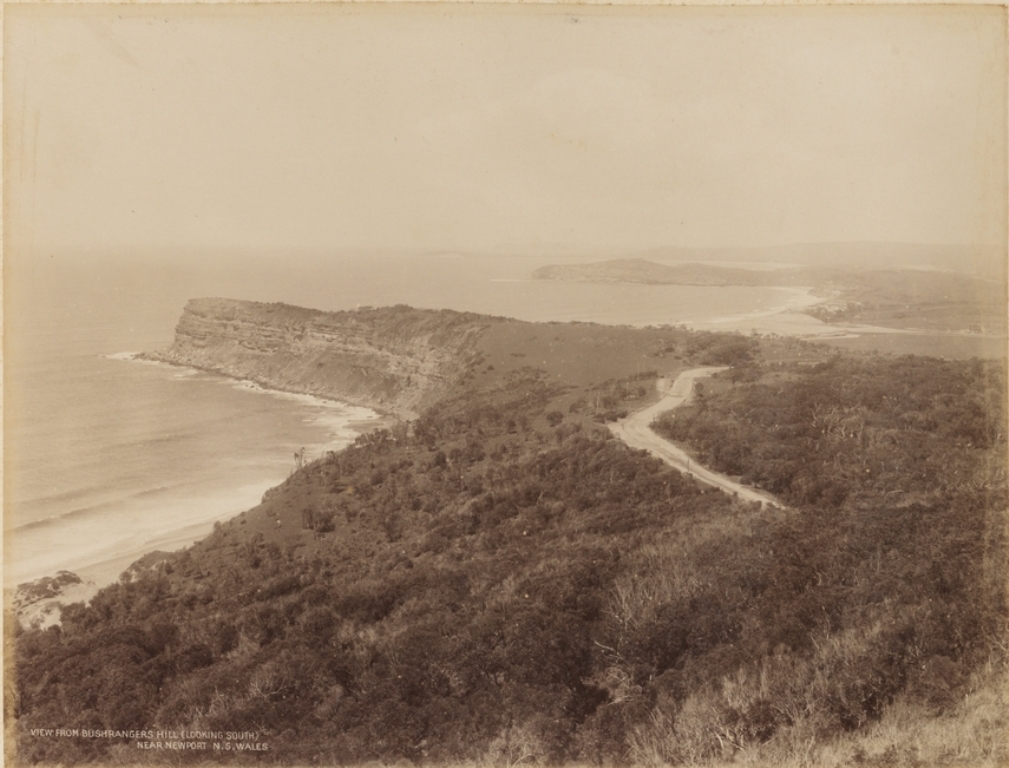
More in:
Avalon Beach
This commences at verge of 'Clareville' and stems from the land sales by A J Small.
The Warringah shire council records Minutes of the Meeting held October 31st, 1921 records;
''Chatfield & Brown's letter, submitting plan of subdivision of A. J. Small’s land fronting Clareville Road, (Subdivision A.) was read in conjunction with the report. Resolved,: (C's. Hewitt', Quirk) That the Council approve of the request that the name "Avalon Parade be given to the roads now known as ’’Arnold' road" and "Clareville Road", and that Mr. Small be asked to notify purchasers of lands fronting Clareville Road of the proposed change. Resolved, - (Crs. Parr, Cavill) That the plan of the subdivision be approved, provided a connecting road between Central Road and Clareville Road be reserved, as recommended
It was unanimously decided to place the seal of the council to a document from the trustees of the late Father Terrey's Estate, dedicating to the council a 20 acre reserve, including the whole of the beach on "Priest's Flat," Barrenjoey Peninsula. This land was left for a reserve some 25 years ago, when the Pittwater Estate was being cut up, but was never dedicated, and the Registrar-General would not recognise it as such. After considerable trouble the dedication was arranged, without expense to the council, and the shire deserves congratulation on the result of their negotiations. Warringah Items. (1912, March 8). The Land (Sydney, NSW : 1911 - 1954), p. 9. Retrieved from http://nla.gov.au/nla.news-article102916271
HORNING - Suddenly (23rd instant), at Risingholme, Pittwater, Frederick Arnold, youngest surviving son of the late William Horning, of Sydney, and Mrs. Henry Allan, Kelvin, Ridge street, North Sydney. Family Notices (1912, January 26). The Sydney Morning Herald(NSW : 1842 - 1954), , p. 6. Retrieved from http://nla.gov.au/nla.news-article15305288
PITTWATER.
By Order of the Trustees in the Deceased Estate of Frederick Arnold Horning on the Property known as Risingholme Clareville via Newport
SATURDAY 3rd FEBRUARY AT 2.3O SHARP
Motor Launch will leave Newport day of Sale at ...
UNRESERVED SALE
Of all Stock Plant, and Building Material on the Property Comprising -
Powerful heavy Grey Heavy Draught horse 7 years Tip Dray and Harness Hogskin Saddle and Bridle 2 well bred Jersey Cows in full milk Roan Bull (selected for breeding and soundness)
Plough Scantier Harness Sundry Farming Implements about 2 tons Lucerne Hay Quantity of
Bran Chaff and Pollard.
Full Set Carpenter's Tools.
Highest Grade Building Material for a 4-roomed cottage (just landed for erection) comprising Galvanised Iron Hardwood flooring and Weatherboards Fibro Cement Sheets Doors and Window Sashes Bolts, Nails, and Screws 2 G L Tanks 800 and 1000 gallons *
Sundry Household Furniture and Kitchen Utensils Incubator Grindstone Fodder Cases tin lined etc.
DJ MCINTYRE and CO Auctioneers, 20 Castlereagh street, city have been instructed by the
Trustees of the Estate of Frederick Arnold Horning (deceased) to hold an Unreserved Auction
Sale of the whole of the Personal Estate on the Property
AS ABOVE. TERMS CASH
The auctioneers can personally vouch for the absolutely genuine character of this Sale the Plant, Holding Materials Tools etc. having only been purchased a month or two and must be cleared off the land
The Property known as "Risingholme " Clareville via Newport comprising 101 acres, the pick of the whole district for soil and beauty- of situation will also be offered by Auction on the Ground prior to Sale of Effects.
See Property Auction Advts.
THE KOHINOOR* OF PITTWATER.
Practically "The Gem of the Pacific Ocean.
On the Property known as "RISINGHOLME” Clareville, via Newport
SATURDAY 3rd FEBRUARY, at 2.30 sharp. Motor Launch will leave Newport day of Sale at 1.45 pm. ,
101 ACRES THE PICK of the whole district for soil and beauty of situation. An old identity states that nothing in the district can be compared with it for subdivision purposes or as an ideal
MARINE HOME
DJ M INTYRE and CO Auctioneers ...have been instructed by the Trustees of Frederick Arnold Horning deceased to
hold an Auction Sale on the Ground of the above described Valuable Property. Advertising (1912, January 26). The Sydney Morning Herald (NSW : 1842 - 1954), , p. 11. Retrieved from http://nla.gov.au/nla.news-article15305262
Geoff provides:
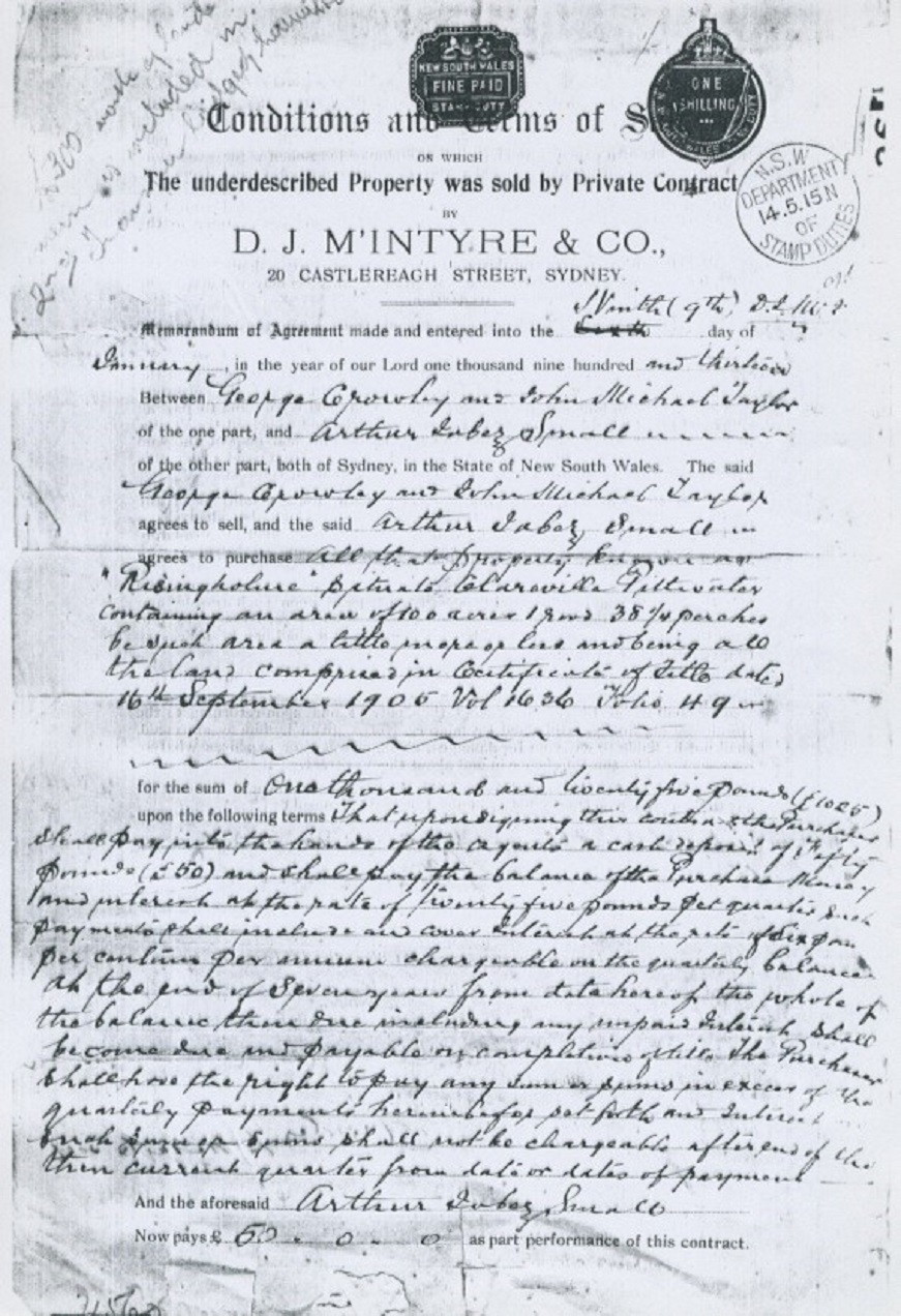
This holding had been brought under the Real Property Act by a Margaret Allan prior to her selling it in 1912 to George Crowley
No. 13,259. County of Cumberland, parish of Narrabeen, 101 acres 1 rood 381 perches, situated on Clareville Wharf Road, Clareville,—is Block No. 3, South Subdivision, Pittwater Estate, and is part of 1,200 acres (portion No. 20 of parish) granted to John Joseph Therry; adjoining the properties of F. Burne, J. Robertson, S. Smith, and G. A. Smith, Trustees of Mrs. Evans, or J. G. Cousins, G. Holland, The London Bank of Australia, and J. H. Parry. – Applicant: Margaret Allan, Mosman. Day until which Caveats may be lodged: 17th February, 1905. NOTICE UNDER REAL PROPERTY ACT. (1904, December 30). Government Gazette of the State of New South Wales (Sydney, NSW : 1901 - 2001), p. 9437. Retrieved from http://nla.gov.au/nla.news-article226488010
From HRLV:
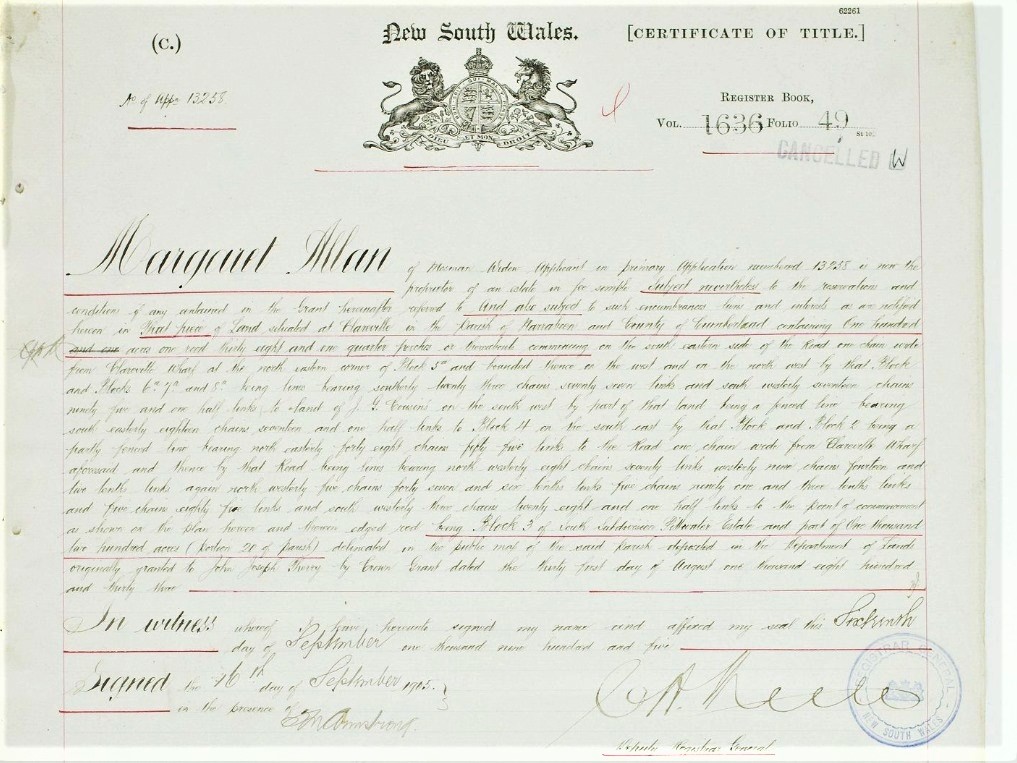
%20Margaret%20Allan%20to%20George%20Crowley.jpg?timestamp=1637204160585)
George Crowley put some of this land up for sale in September 1912 (Block III, Portion 20) and then onsold what was left to Arthur Jabez Small in 1915 - the State Library of NSW Avalon subdivisions folder and the HRLV provides
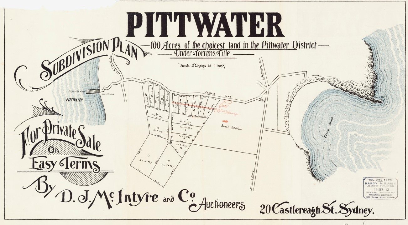
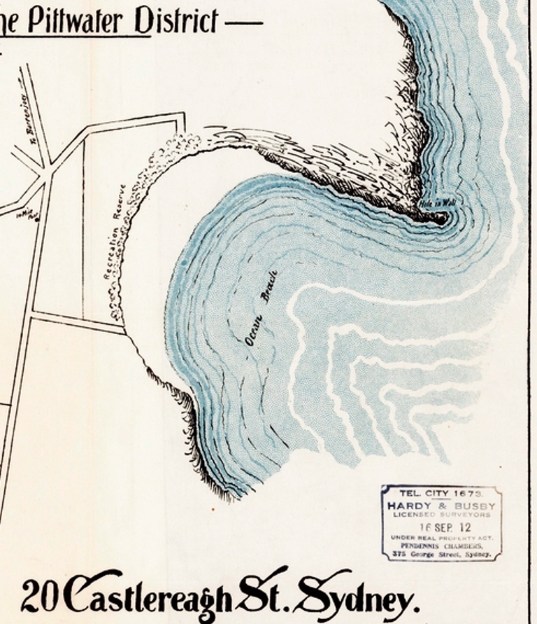
Avalon subdivision plans, September 16, 1912. Image No.: c027560011h, courtesy State Library of New South Wales
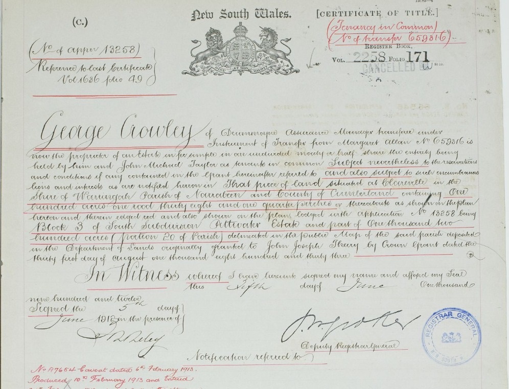
%20George%20Crowley%20Block%20III%20portion%2020.jpg?timestamp=1637204683245)
Arthur Jabez Small began selling blocks of land in 1915, with the first one sold on October 15, 1915 to Frederick William Tyrer - HRLV provides those who these blocks sold to between 1915 and 1920, showing that some people came back and bought more blocks - many of these were acreage size:
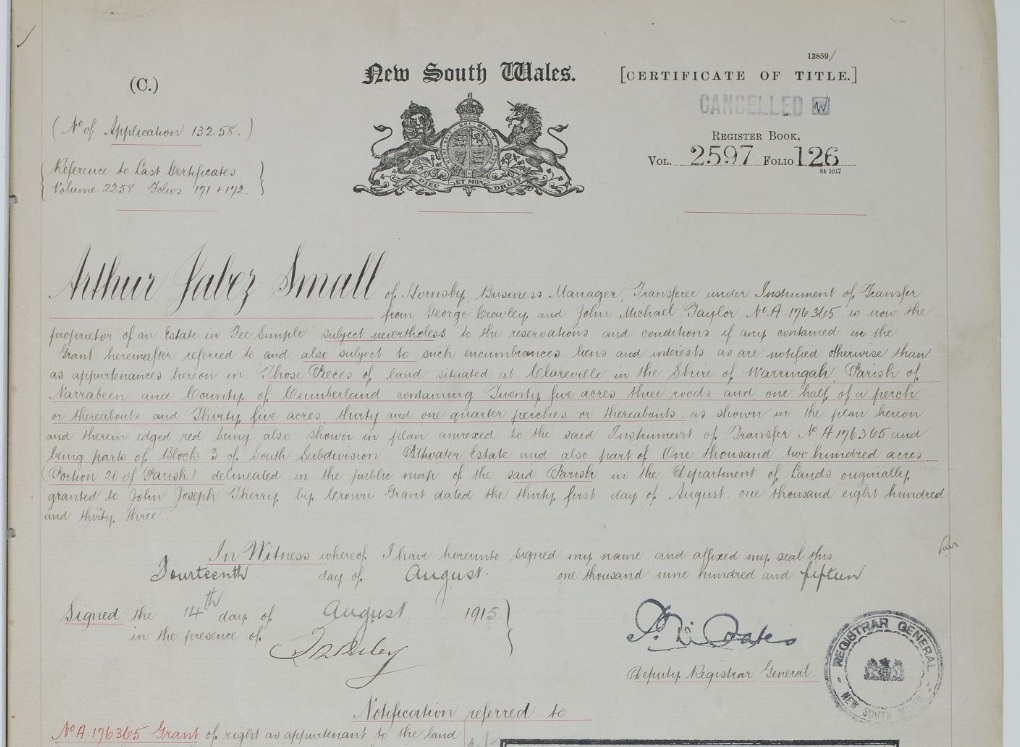
%20A%20J%20Small%20Allan%20Land.jpg?timestamp=1637206268557)
%20A%20J%20Small%20Allan%20Land.jpg?timestamp=1637206371845)
%20A%20J%20Small%20Allan%20Land.jpg?timestamp=1637206408257)
%20A%20J%20Small%20Allan%20Land.jpg?timestamp=1637206443734)
%20A%20J%20Small%20Allan%20Land.jpg?timestamp=1637206480596)
%20A%20J%20Small%20Allan%20Land.jpg?timestamp=1637206509443)
%20A%20J%20Small%20Allan%20Land.jpg?timestamp=1637206544915)
%20A%20J%20Small%20Allan%20Land.jpg?timestamp=1637206580111)
One of the earlier land sales advertised by Arthur Jabez Small of the land acquired precedes the name of 'Avalon' itself.
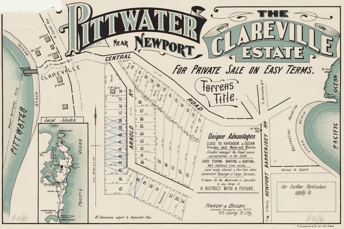
Avalon Subdivisions - Clareville Estate Pittwater - Arnold Road, Central Road, Item No.: c027560007h, courtesy State Library of N.S.W. - Arnold Road was possibly named for the owner Frederick ARNOLD Horning.
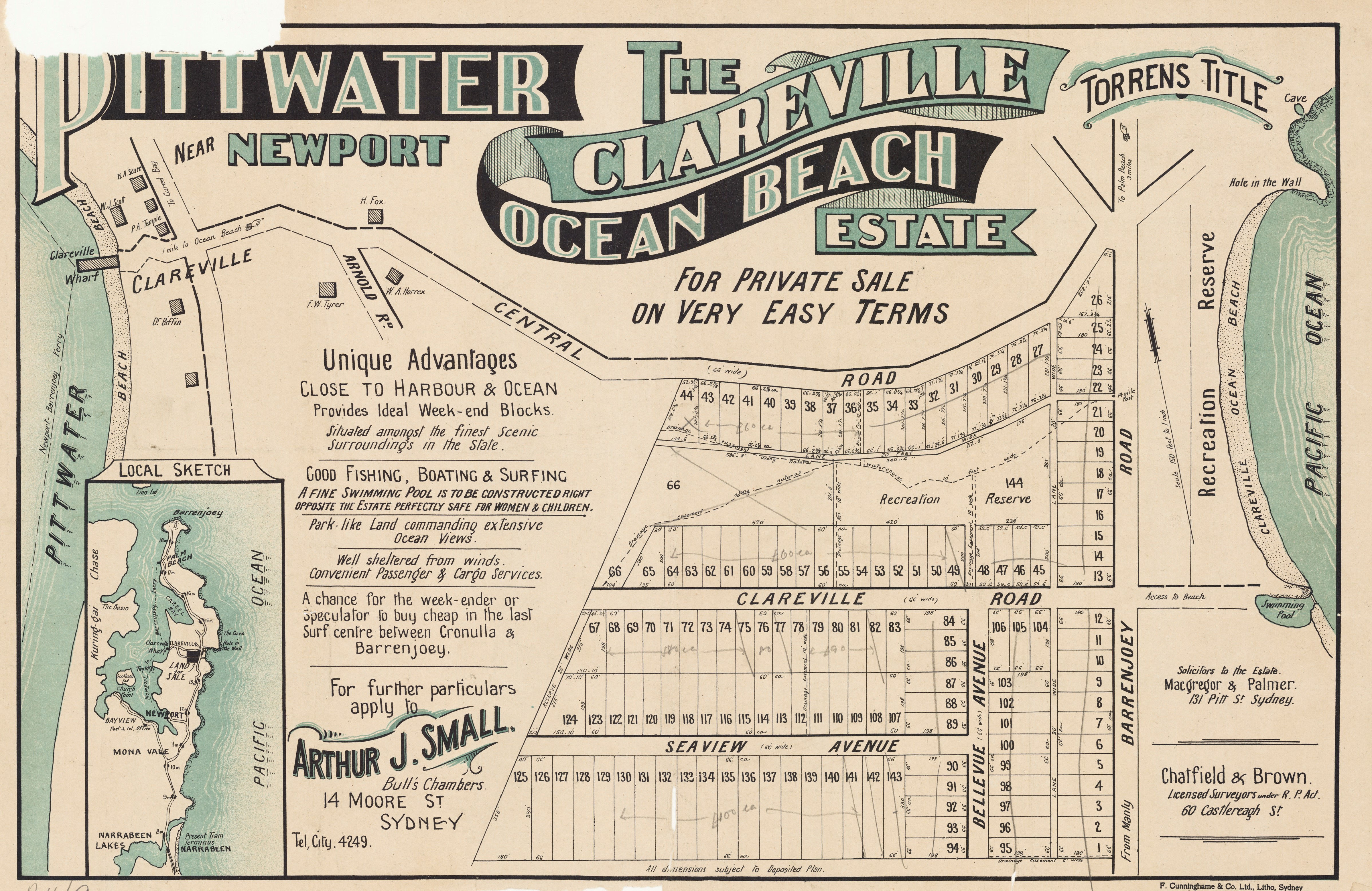
%20for%20Clareville%20page%20showing%20name%20for%20ocean%20beach.jpg?timestamp=1554254107807)
Pittwater Clareville Ocean Beach Estate - Central Rd, Seaview Avenue, Clareville Road, Bellevue Avenue, Barrenjoey road - A J Small. Item No.: c027560009 [Avalon subdivision plans] - courtesy State Library of New South Wales. And sections from to show residences and name for Avalon Beach.
The above is interesting as it shows what we now call 'Avalon Parade' was originally called 'Clareville Road' - as in the road to Clareville and that the name 'Seaview' has been changed too and was changed to 'Elouera', an aboriginal word meaning 'a pleasant place' in 1939. The name swap from 'Seaview' to something more in keeping with the original custodians wasn't the only Seaview to go in 1939 - Elimatta is an Aboriginal word meaning 'my home':
SHIRE OF WARRINGAH,
Names of Roads.
NOTICE is hereby given that the Council has, in accordance with the provisions of section 249 (a), Local Government Act, 1919, and of Ordinance No. 30 thereunder, and with the approval of the Minister for Works and Local Government, given the undermentioned names to the roads described hereunder:—
Situation, Old Name and New Name.
At Careel Bay, Pittwater, parish of Narrabeen—Bayview-road—Cabarita-road.
In Ocean Beach Estate, Avalon (deposited plan No. 9,151), parish of Narrabeen — Seaview-avenue— Elouera-road.
Connecting Ralston-road and Pacific-road, Palm Beach, as shown on deposited plan No. 13,780—Unnamed—Ebor-road.
In Brocks' Estate, Mona Vale, deposited plan 6,195— Rickard-road—Orana-road.
In Warriewood Estate, Warriewood (deposited plan 5,464), parish of Narrabeen—Sea view-street—Elimatta-road.
At Mona Vale, running easterly from Barrenjoey-road (Newport-road) to the Pacific Ocean—Allen-street——Golf-avenue.
At Deewliy West, running north-easterly and northerly from the junction of Fisher-road and Lynwoodavenue along the western boundaries of portions 647, 646, 1,290, 643, 642 and 641, parish Manly Cove —Unnamed—Campbell-avenue.
At Manly Vale, parish Manly Cove, running easterly from Condamine-street to Stuart-road—Dalley-street —Koorala-street. SHIRE OF WARRINGAH. (1939, June 30). Government Gazette of the State of New South Wales (Sydney, NSW : 1901 - 2001), p. 3373. Retrieved from http://nla.gov.au/nla.news-article225078398
Mr. Small seemed to have problems selling the blocks of land too, some of which could be ascribed to the distance between Sydney town of then and the end of the peninsula with poor roads and infrequent transportation for those not affluent enough to own their own car.
Mr. Arthur J. Small, of Royston Park, Asquith, takes exception to the statement last week that Palm Beach Estate, Barrenjoey where land brought £4 per foot, ls Inaccessible to the public, and practically can only be reached as a residential area by persons owning their own car. He draws attention to the fact that there is an hourly service of motor cars from the present tram terminus at Narrabeen to Newport, and a regular ferry service thence to Clareville and Palm Beach of two trips each way daily. This service was Inaugurated by the Palm Beach Co. when they first opened up the estate some five or six years ago. REAL ESTATE. NOTES OF THE WEEK. (1917, March 31). The Sydney Morning Herald (NSW : 1842 - 1954), p. 11. Retrieved from http://nla.gov.au/nla.news-article28101228
These land holdings were the breaking up into smaller blocks what had previously been holdings large enough to run as farms as the 'Township of Brighton' and the adjacent 'Marine Village of Brighton'.
Advertising (1918, March 31). The Sun (Sydney, NSW : 1910 - 1954), p. 24. Retrieved from http://nla.gov.au/nla.news-article221940411
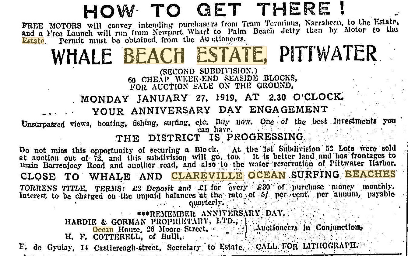
Advertising (1919, January 19). Sunday Times (Sydney, NSW : 1895 - 1930), p. 11. Retrieved from http://nla.gov.au/nla.news-article123223812
In 1921 the first subdivisions of land at 'Avalon Beach' took place. These were presented as a 'weekend spot' rather than to be a suburban choice initially. Geoff Searl OAM again provides the document that explains Mr. Small and Alfred Ickerson, Vendors, decided to employ the services of the brother of the gentleman who once owned the land:
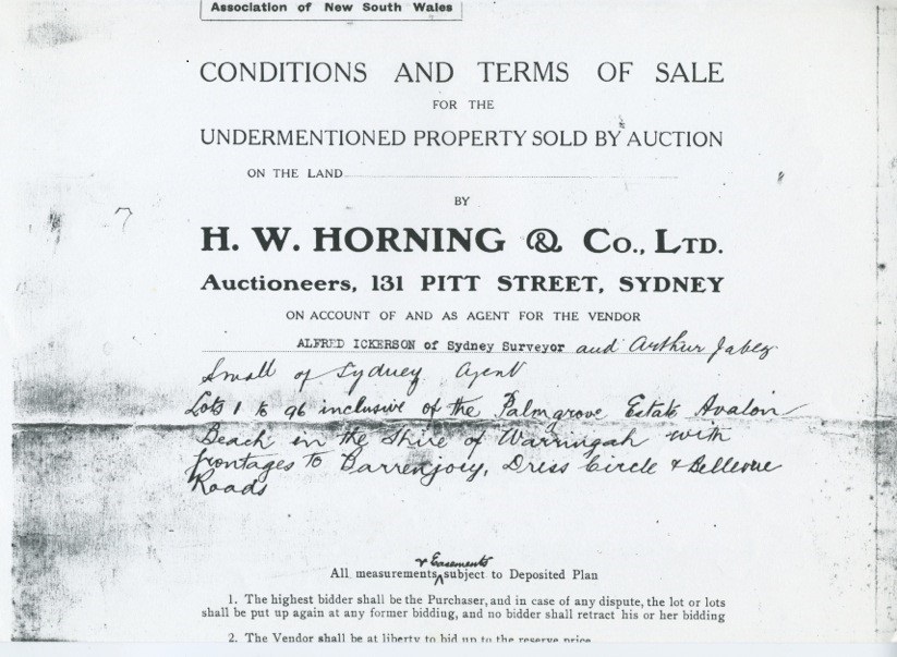
Cronulla was, Palm Beach is, and Avalon Beach will be. This is the catch slogan which has been adopted by the vendor of the Palmgrove Estate at Avalon, which is to be sold by Messrs. H. W. Horning and Co., on Boxing Day. Judging by the beautiful panoramic views which appear in an attractive booklet, and which also occupy a conspicuous position in Messrs. Horning and Co.'s windows, Martin-place, the scenery surrounding the estate must be exceptionally beautiful. Avalon is the new seaside resort between Newport and Palm Beach. The Palmgrove Estate is on the main Barrenjoey-road, and is right at the beach.
The owner has evidently had the public good in mind, as the estate has been well planted with Ornamental shade trees, while a section of it known as the Palm Grove, has been presented as a park. This is a remarkable beauty spot, with a wealth of graceful palms, maidenhair, burrawang, and other ferns. The estate is in every respect a most attractive proposition to those looking for week-end and holiday sites. REAL ESTATE NEWS (1921, December 11). Sunday Times (Sydney, NSW : 1895 - 1930), p. 10. Retrieved from http://nla.gov.au/nla.news-article123241058
That booklet - and enlarged sections from to show the details - also includes why 'Avalon' became the name, for sales purposes and because Mr. Small was obviously finding this place as such:
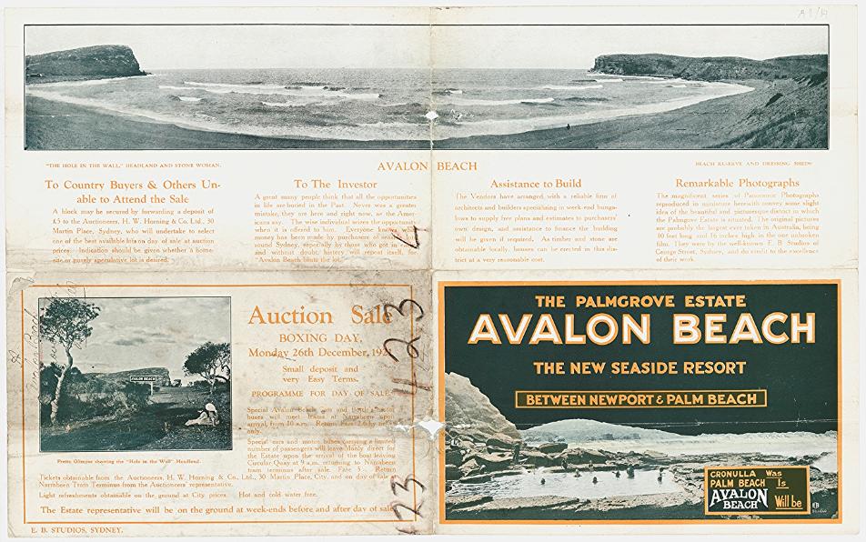
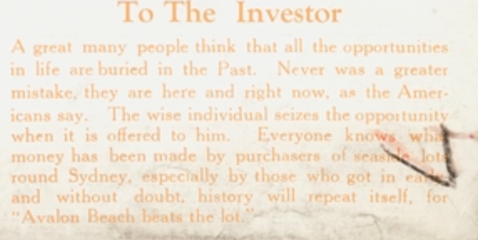
1921 Brochure - Palmgrove Estate, Avalon Beach, new seaside resort between Newport & Palm Beach Newport Beach, Palm BeachImage No.: c027560016 and Avalon Beach first subdivision. Image No.: c027560017 and Palmgrove Estate, Avalon Beach. No boundaries shown. Image No.: c027560018 - from Avalon Subdivision Maps, courtesy State Library of NSW
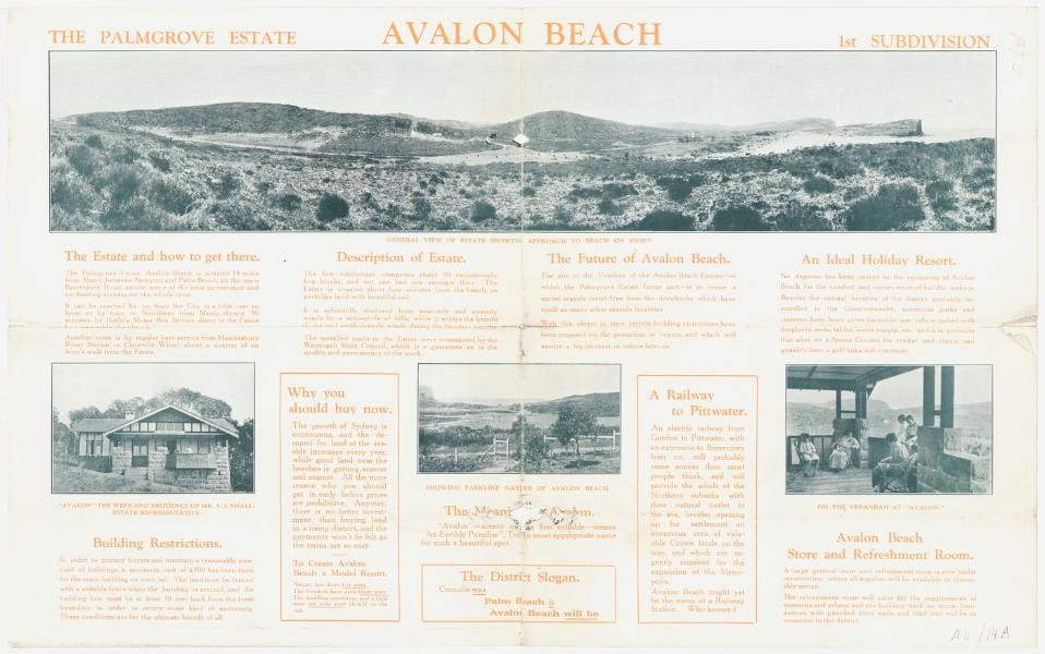
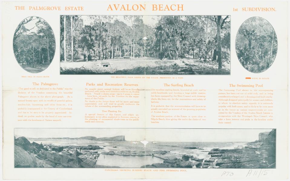
.jpg?timestamp=1557955604412)
.jpg?timestamp=1557955637497)
.jpg?timestamp=1557955677491)
.jpg?timestamp=1557955709490)
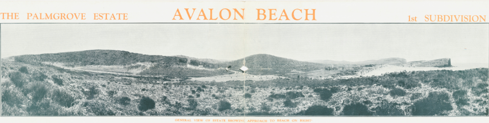
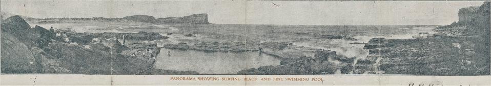
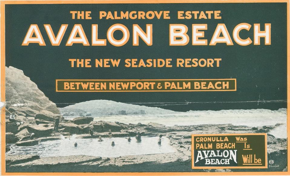
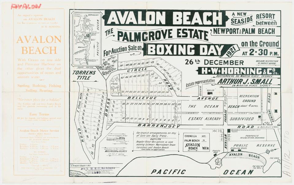
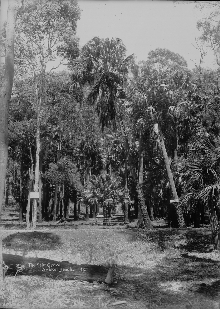
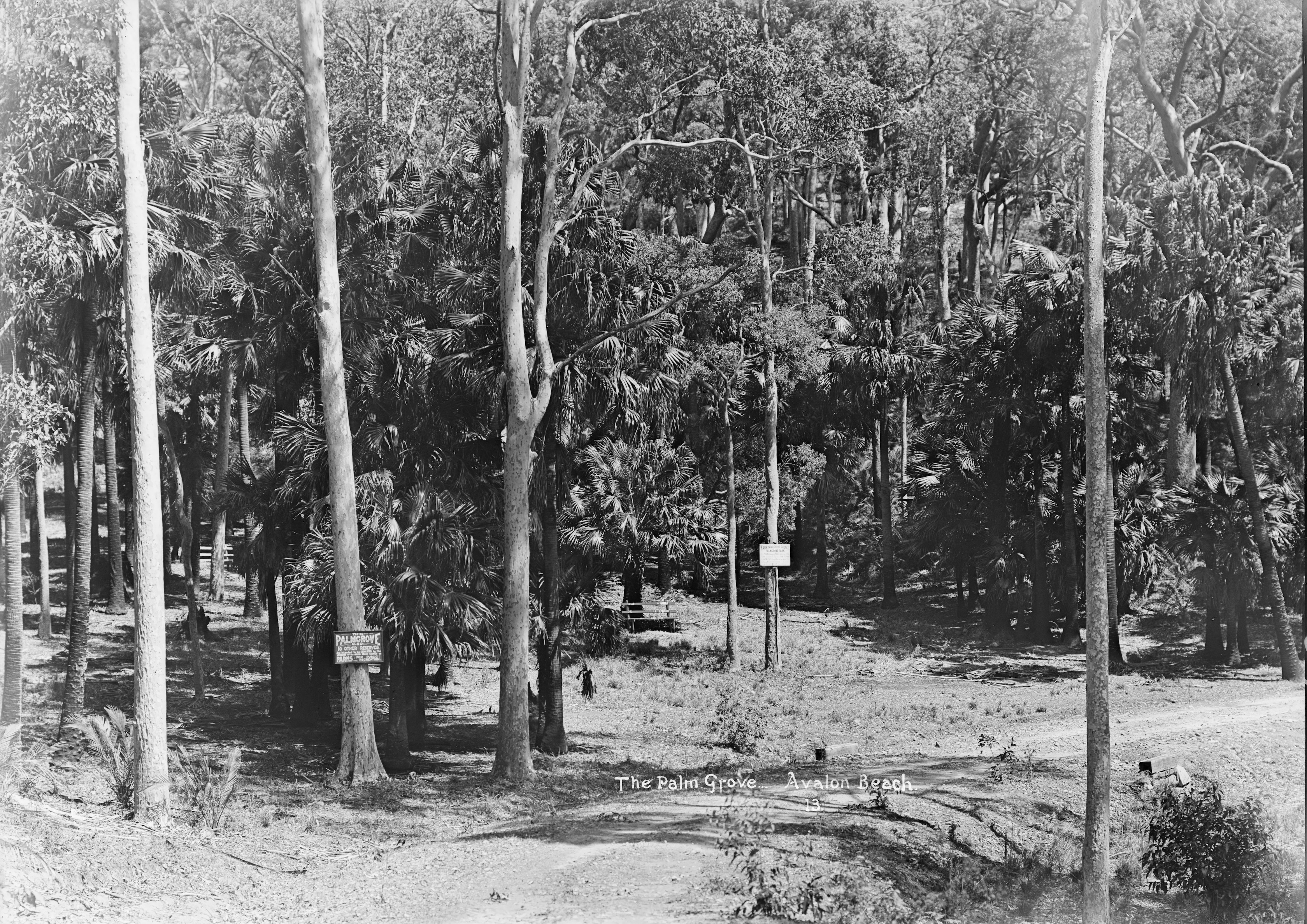
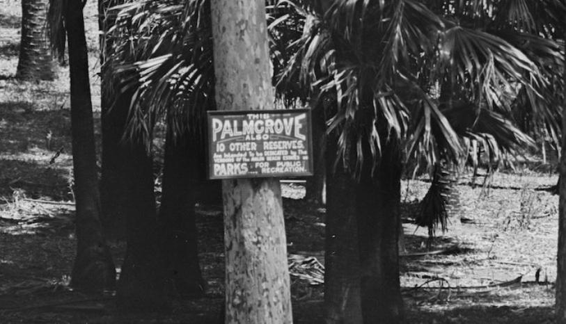
PARKS AND PLAYGROUNDS.
Aims of Movement.
"That every child shall have a chance to play and every citizen the opportunity for recreation" was adopted as a chief aim in the constitution of the New South Wales Parks and Playgrounds Movement, which held its first annual meeting at the New South Wales Cricket Association's Chambers on Wednesday. "The normal expansion of Sydneys playing fields should be, at a minimum, from 100to 120 acres of level land every year," says the report of the movement. A report on the whole matter by the Surveyor-General, who was being assisted by a committee of the movement, was expected shortly. "In the meantime, the executive of the movement has taken up (as an Immediate measure) the question of pressing for 'Five More Moore Parks."
The meeting, which was a full one, delegates from 30 bodies being present, was concerned largely with the elimination by the Legislative Council of the parks clauses of the Greater Sydney Bill. 'This meant', said Dr. C. E. W. Bean, honorary secretary of the movement, 'that, although the Greater Sydney authority, if established, could plan parks and playgrounds, It would not be able to acquire them, or even to accept them if given to it-powers which were possessed by greater-city authorities all over the world. '
On the motion of the chairman, Mr. A. J.Small, seconded by Mr. D. G. Stead, the meeting expressed its unanimous disapproval of the elimination of these powers from the bill. The liability of all State school playgrounds to taxation while many private school grounds were exempt was also strongly criticised in the report, a case being cited in which public land lying Idle was heavily rated as soon as it was permitted to be used as a play-ground for State schoolchildren. On the motion of the chairman, seconded by Mr. R.A. Bennett, it was resolved to urge that, in the bill projected by the Government, exemption should be extended to all school play-grounds. A committee was appointed "to co-operate with the city authorities in their task of re-organising the playground system of Sydney," And It was also resolved, on the motion of Mr. Burrows and Mrs. Wyatt, to urge the preservation by some means of the Pymble State forest. Mr. A. J. Small (president of the Town Planning Association) was elected as first president of the Parks and Playgrounds Movement. PARKS AND PLAYGROUNDS. (1931, September 25). The Sydney Morning Herald (NSW : 1842 - 1954), p. 10. Retrieved from http://nla.gov.au/nla.news-article16818070
IMPROVING AVALON. ROADSIDE TREES PLANTED
Since the sale of Avalon Beach Estate at Christmas additions and improvements have been effected on the estate.
The rock pool baths at the southern end of the beach have been extended 18ft., and are now 57ft. long, with a smooth bottom. Ladies' dressing sheds have been erected immediately at the rear, on a spot once occupied by a jumble of rocks, and a general store and refreshment room of original design has been built close to the beach.
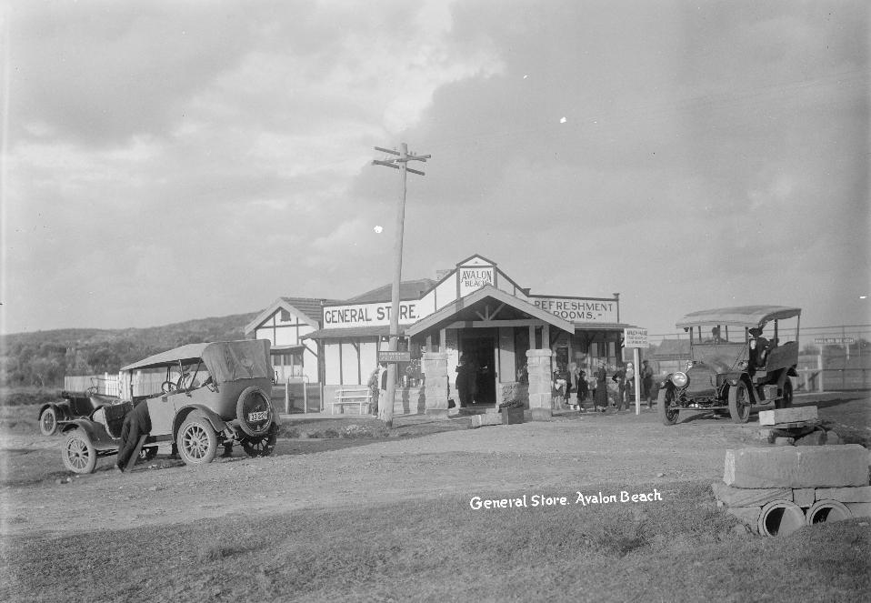
Several landowners are already building homes on their lots. A new, wide road has been constructed, giving the land direct access to the beach, and at the side of all the roads, trees, of eight different varieties, chosen as specially suitable for the land and atmosphere, have been planted. One of these is the Illawarra Flame Tree, which carries blooms of fire color. IMPROVING AVALON (1922, March 22). The Sun (Sydney, NSW : 1910 - 1954), p. 10 (FINAL RACING). Retrieved from http://nla.gov.au/nla.news-article225222882
The Bangalley headland, named for a tree, is the most easterly point of the Pittwater electorate.
More in:
- Avalon Beach Culture Collective Inc + Avalon Beach Centenary Events
- Pittwater Roads II: Where The Streets Have Your Name - Avalon Beach
- Pittwater Roads II: Where The Streets Have Your Name - Clareville
- Avalon's Village Green: Avalon Park Becomes Dunbar Park - Some History + Toongari Reserve and Catalpa Reserve
- Pittwater Summer Houses: Gunjulla, Avalon Beach-Clareville
- Avalon Beach Surf Life Saving Club - The First Clubhouse
- Avalon Beach Sand Dunes: Some History
- Avalon Beach Surf Life Saving Club - The Second and Third Clubhouses
- Avalon Beach Golf Links - Pittwater Fields of Dreams II - updated in 2024 Avalon Beach Golf Links: Some History
- Daniel Gordon Soutar's Influence On Local Golf Courses: Some History Notes
- Avalon Camping Ground
- Avalon Beach Reserve Heritage Marker For Old Kiosk Installed
- Angophora Reserve
- Avalon Theatre - Ron Turton Profile
- Motor Car Tours To And In Pittwater Show Us The Way This Place Once Was
- Avalon Beach Public School: Some History For A 70th Birthday
- Photographers Of Early Pittwater: David 'Rex' Hazlewood + Photographers Of Early Pittwater: David 'Rex' Hazlewood
- Archpriest John Joseph Therry
- John Collins of Avalon - Pittwater Patriarchs Series I
- Maria Louisa Therry - Pittwater Matriarchs Series I
- Careel Bay Steamer Wharf And Boatshed - updated in 2024 - Careel Bay Steamer Wharf + Boatshed: some history
- The Mulhalls Of Broken Bay And Barrenjoey - Australian Champions
- Light Keepers of Barrenjoey Lightstation
- Captain Francis Hixson
- The Collaroy Paddle Steamer: New Ephemera Added To Public Accessible Records - Her Connections To Pittwater
- Albert Thomas Black
- John Black
- Pittwater Reserves, The Green Ways: Clareville Wharf and Taylor's Point Jetty
- Early Pittwater Paddlers, Oarsmen, Rowers And Scullers: The Green Family
- Early Pittwater Paddlers, Oarsmen, Rowers And Scullers: The Fox Family
- Early Pittwater Paddlers, Oarsmen, Rowers And Scullers: The Paddon Family Of Clareville (Or Clairville)
- Hy-Brasil: Avalon Beach - Pittwater's Summer Houses
- Pittwater's Torpedo Wharf and Range
- The Roads And Tracks Of Yesterday: How The Avalon Beach Subdivisions Changed The Green Valley Tracks
- Roads In Pittwater: The Barrenjoey Road
- Photos Of Avalon Beach And Surrounds From 1968 And 1970 - Taken By Gary Clist
- The Roads And Tracks Of Yesterday: How The Avalon Beach Subdivisions Changed The Green Valley Tracks
- Avalon Preservation Association - Profile
- This is Avalon - Winter Solstice Festival - Sunday 21st of June 2015
- Winter Solstice Festival Warms Avalon’s Heart by Jayne Denshire
- Avalon Art Carnival: THE GAME - November 2015
- Avalon Beach 100th – Centenary Celebrations - Centenary Art Exhibition Opening Night
- A Celebration Of Avalon Beach’s Uniqueness – Past, Present and Future by Jayne Denshire
- Avalon 100 - Avalon Centenary Celebrations Hosts Great Events This March: Avalon Sailing Club's 'Sail Of The Century' + Radio Northern Beaches Launches 'The Avalon Story' Series
- Avalon Beach 100 - Ray Henman's 100 Years Centenary Film Of The Family Of Arthur Jabez Small Talk On Their Grandfather + Extra A J Small Notes
- Avalon Beach Centenary Nature Of Avalon and Our Indigenous Culture Celebration At Avalon Art Gallery and Dunbar Park
- Pittwater's Torpedo Wharf - 2022
- Pittwater Beach Reserves have been dedicated for public use since 1887 - no 1.: Avalon Beach Reserve- Bequeathed by John Therry
Whale Beach
Some records state this name stems from a large whale washed ashore in the late nineteenth century. Others believe Whale Beach owes its name to the peculiar shape of its southern headland, or the capture of a whale there. It is possible however that the name derives from the early loss of a sailing vessel in 1816. The small timber sloop Whale of 14-tons, left Sydney for the Hawkesbury River on 23 July. The crew, George Winney and William Cooper, were lost mid-voyage and the vessel thought to have been driven out to sea and sunk. It is possible however that wreckage or bodies later washed ashore near the beach, hence its attribution. No trace of the wreck has been found. - Sydney Gazette 19/10/1816 Cumpston 'Arrivals and Departures - 1816'.
The Whale was a small vessel built at Scotland Island in 1810 by Andrew Thompson (or those using the island for boat building after he passed away). At the time of loss, R. and C. Walker were said to operate the local trader.
The name was used by the Barrenjoey Land Company from at least 1919 when they commenced land sales in the area.
More in:
- Pittwater Roads II: Where the Streets Have Your Name - Whale Beach
- Whale Beach Ocean Reserve: 'The Strand' - some history on another great Protected Pittwater Reserve
- How Camping and Campers At Whale Beach Helped The Whale Beach SLSC Save Lives
- Pittwater Restaurants you could stay at Jonah's Road House – Whale Beach - updated in 2024
- The First Boat Builders of Pittwater: the Short Life and Long Voyages of Scotland Island Schooner the Geordy
- Careel House
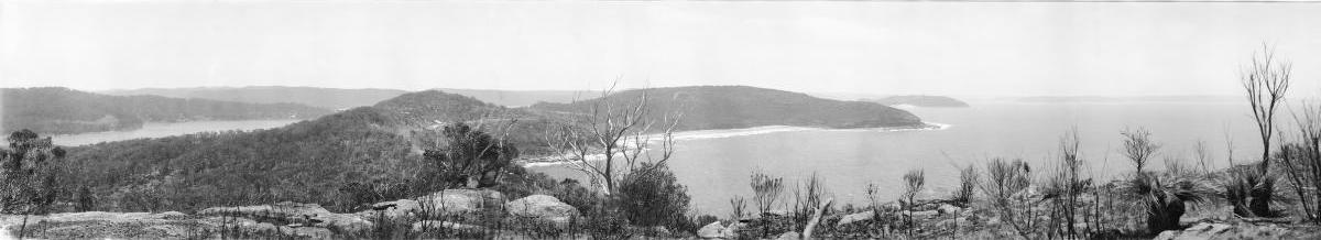
Panorama of Whale Beach no. 1 - (and enlarged sections from below), New South Wales between 1917 and 1946. Part of Enemark collection of panoramic photographs by EB Studios (Sydney, N.S.W.). Image No.: nla.pic-vn6152463, courtesy National Library of Australia.
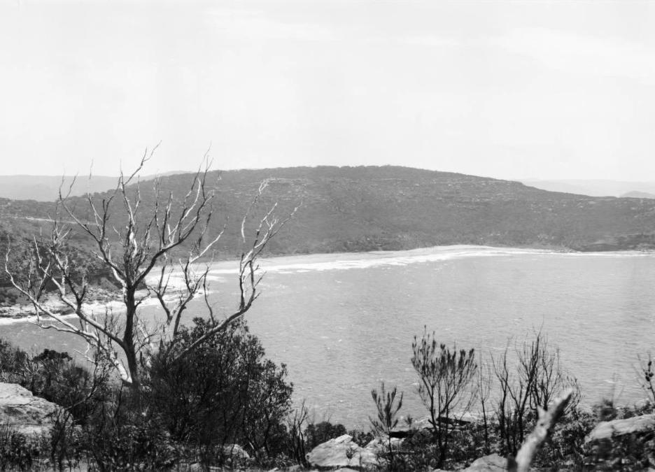
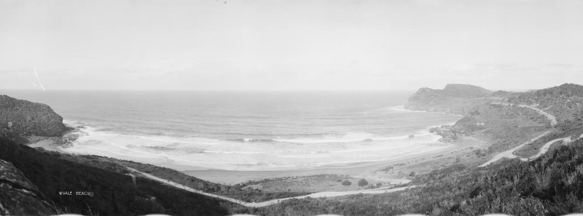
Panorama of Whale Beach no. 4 - (and blown up section from below), New South Wales between 1917 and 1946. Part of Enemark collection of panoramic photographs by EB Studios (Sydney, N.S.W.). Image No.: nla.pic-vn6152465, courtesy National Library of Australia.
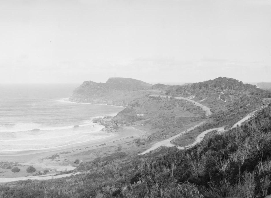
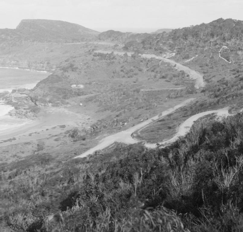
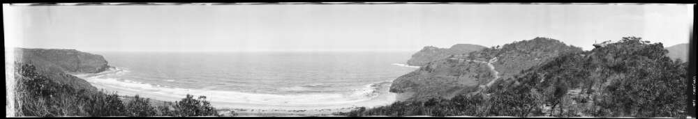
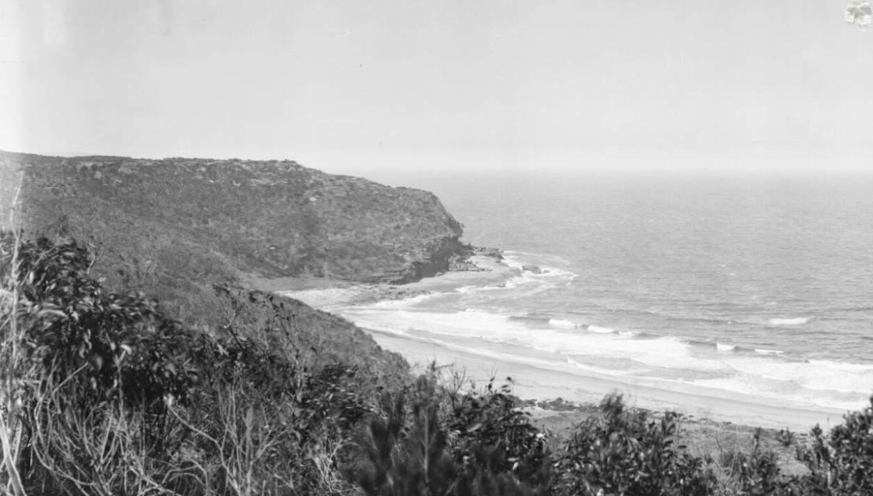
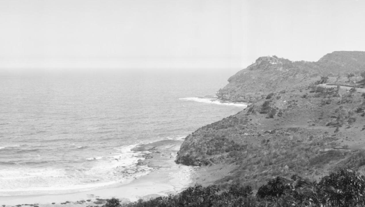
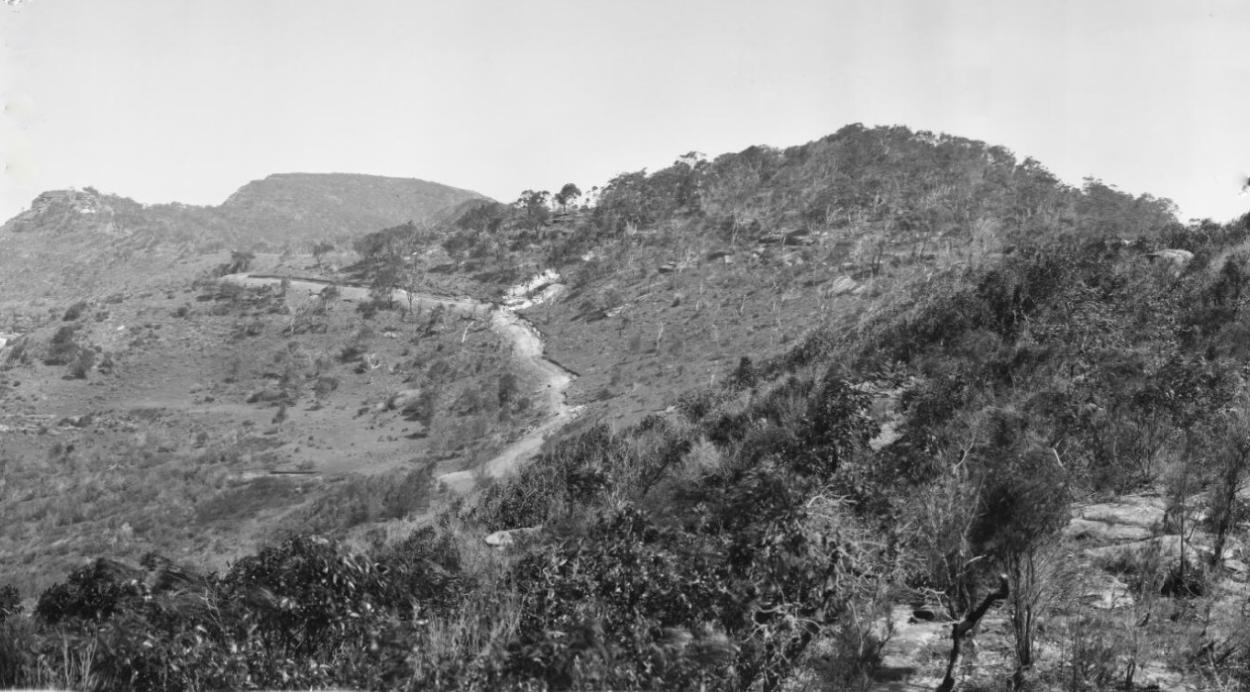
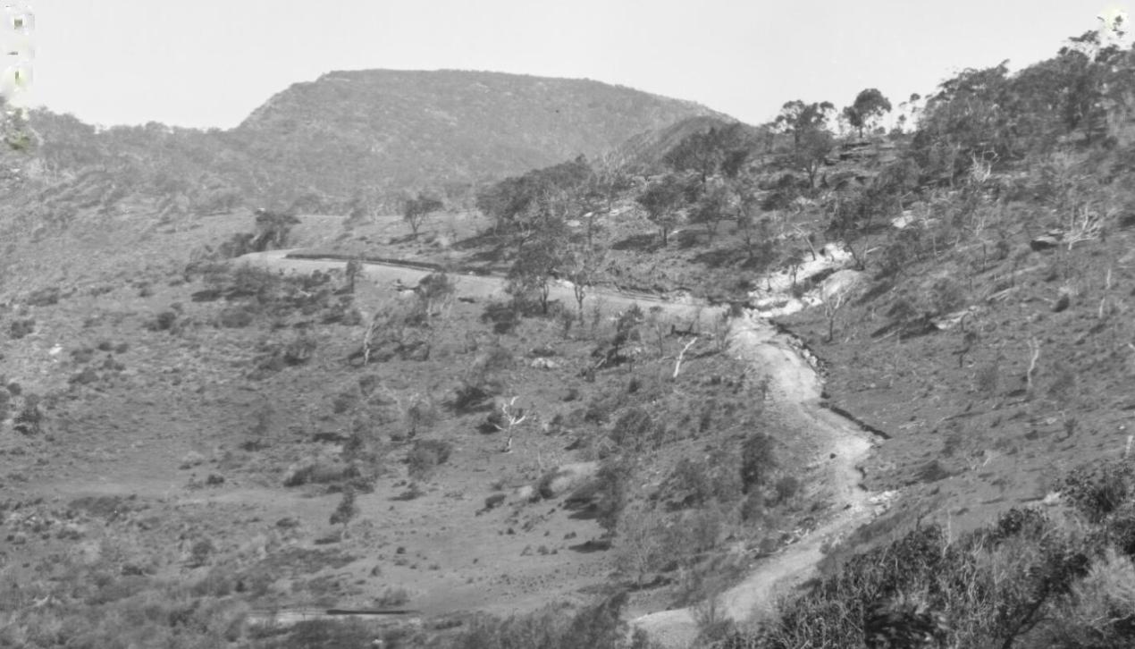
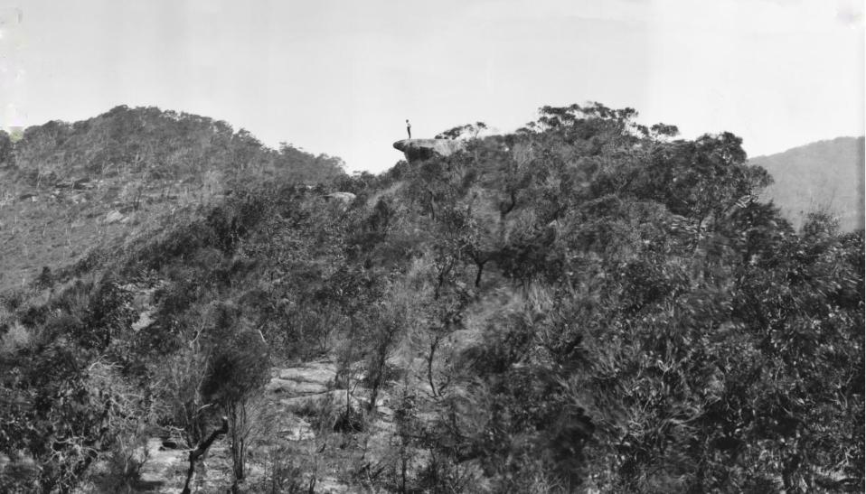
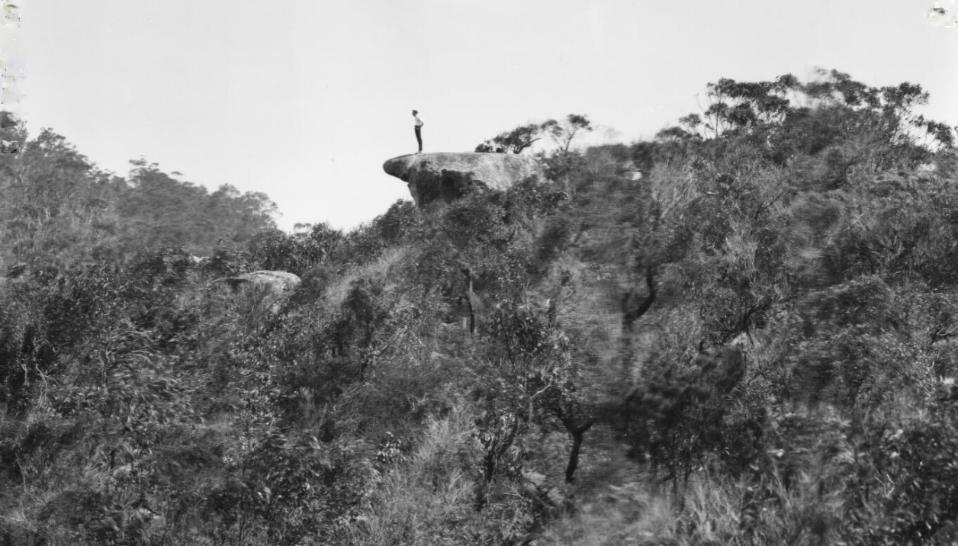
Palm Beach
Coined by the Barranjoey Land Company for the January 1912 land sales on the Barrenjoey peninsula, and possibly alluding to Palm Beach Florida as a means to convey what this could become and aim land sales at the professionals of Sydney during this era.
The area now known as Palm Beach and Whale Beach was originally given in a land grant to James Napper (1787 circa to 1827) who travelled to Sydney as ships surgeon on board the Kangaroo, arriving in January 1814. During the voyage out he married a passenger Emma Luttrell in Rio. Emma was the daughter of Dr Edward Luttrell who had travelled to NSW [Free Settler "Experiment" 1804] with his family. Kangaroo was an armed naval brig, which in March 1814 completed the evacuation to Sydney of the first settlement at Norfolk Island. Mr. Nappers name appears in a June 1814 list to receive land. He became ill in 1815 and on recovery was transferred to the Emu.
.jpg?timestamp=1515867973737)
.jpg?timestamp=1515868044390)
.jpg?timestamp=1515868070493)
PITTWATER.
MARINE SITES.
THAT MAGNIFICENT BLOCK of 400 acres delineated as James Napper's Grant on the Government plan of Parish of Narrabeen, ex the portions reserved by Government for Lighthouse and Public School purposes, IN SUBDIVISION, now in preparation by Mr. Licensed Surveyor, A. W. Stephen, into SUITABLE AREAS, to fit the requirements of YACHTSMEN, RETIRED GENTLEMEN, PUBLIC CATERERS, BUILDING SPECULATORS and others seeking DESIRABLE FREEHOLDS in a district growing in popularity every day, and soon likely to became a favorite suburb.
THE ESTATE is traversed by the MAIN ROAD, and EMBRACES many favorite and historic vantage pctets, notebly on the ocean side— CABBAGE TREE BOAT HARBOR and Little Heads, and in Pittwater that lovely camping ground, CAREEL BAY.
By order of the surviving Trustee of THE BASSETT-DARLEY ESTATE, And the Administratrix of the late BENJAMIN WENTWORTH DARLEY.
BATT, RODD, and PURVES, Limited, are instructed to sell the above by PUBLIC AUCTION, at their Rooms, 88 Pitt-street, on — TUESDAY, 30th JANUARY, AT 11.30 A.M.
Messrs. STEPHEN, JAQUES, and STEPHEN, Solicters, O'Connell-street, will furnish evidences of Titles. Advertising (1900, January 21). Sunday Times (Sydney, NSW : 1895 - 1930), p. 5. Retrieved from http://nla.gov.au/nla.news-article126278402
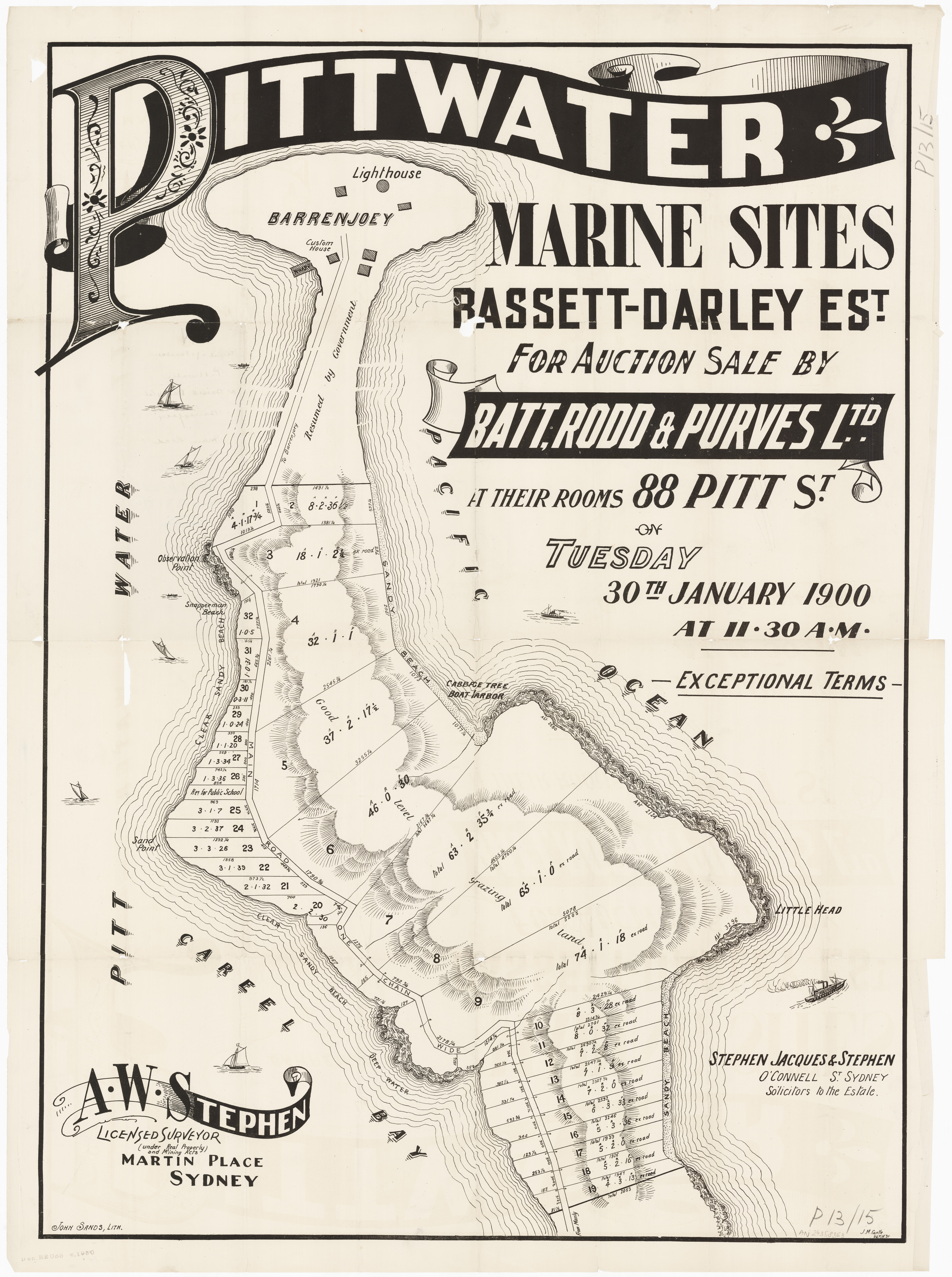
None of the larger sections sold apart from 30 acres on the estuary side which was purchased by Charles John Edward Forssberg, and registered as such in August 1900, and some acres on today's Whale Beach, purchased by soon to be Newport resident Trevor Jones:
The lots were re-advertised in June 1900 with mention of the tram towards Pittwater being used as a selling point and 18 lots up for sale at 'upset prices'!:
Messrs. Batt, Rodd, and Purves will sell by auction next Tuesday at their rooms 88 Pitt-street, 18 allotments at Pittwater, belonging to the Bassett-Darley estate. The lots vary in size from 74 acres down to 4 acres, and the upset prices at which bidding may start are quoted in the firm's announcement in our business columns. The sale is to be without reserve. No title (1900, June 3). Sunday Times (Sydney, NSW : 1895 - 1930), p. 4. Retrieved from http://nla.gov.au/nla.news-article126286201
ABSOLUTE SALE.
BY ORDER of THE SURVIVING TRUSTEE of the BASSETT-DAIRLEY ESTATE and the ADMINISTRATRIX of the late BENJAMIN WENTWORTH DARLEY.
CHARMING MARINE SITES, PITTWATER.
A SUBDIVSION by Mr. Licensed Surveyor A. W. Stephen in areas to fit -the requirements of INVESTORS and SPECULATORS, of THAT GRAND BLOCK delineated on the Government Map of the parish of Narrabeen as Jas. Napper's Grant, adjoining the reserve for Lighthouse and Public School purposes.
AN IDEAL SPOT for YACHTING, BATHING, FISHING.
Breezy Heights and Sheltered Slopes.
LAKE and OCEAN FRONTAGES.
TRUSTEES, DETERMINED TO CLOSE ACCOUNTS, have ventured to risk public competition without captious restrictions, and boldly announce UPSET PRICES as per schedule hereunder as minimum reserve figures, at which bidding may start for the CHOICE BLOCKS shown on plan, SALE whereof will be recorded TO THE HIGHEST BIDDER without any reserve.
BATT, RODD, AND PURVES, Ltd., are instructed to sell at their Rooms, 88 Pitt street, by PUBLIC AUCTION, NEXT TUESDAY, JUNE 5, AT 11.30 A.M., the above mentioned LOVELY WATER FRONTAGE BLOCKS, as per LITHO PLAN, NOW AVAILABLE.
ac. r. p.
Lot 1, area 4 1 17 3/4 £50
2, ' 8 2 ,36 1/2 65
3, 18 1 2 1/2 100
4, 32 1 1 100
5, . 37 2 17 1/2 185
6, 46 0 30 , 230
7, 63 2 35 3/4 252
8, 65 1 0 200
9, 74 1 18 220
10, .8 3 . 58 61
11, 8 0 32 51 .
12, 7 2 8 51 '
13, 7 19 50
14, 7 2 0 65
15, 6 3 83 61
16, . 5 3 36 51 '
17, 5 2 0 51
18, . 5 2 16 51
are the SACRIFICLAL PRICES at which the biddings will open, and the lots will be POSITIVELY SOLD WITHOUT RESERVE.
SPECULATORS, consider the opportunity for BIG PROFITS in view of the promised tram.
TITLE PERFECT. TERMS : 25 per cent. Deposit, Balance in 4 equal annual instalments with interest at rate of 5 per cent.
Messrs. STEPHEN, JAQUES, and STEPHEN, O'Connell -street, are Solicitors for Vendor. Advertising (1900, June 3). Sunday Times (Sydney, NSW : 1895 - 1930), p. 6. Retrieved from http://nla.gov.au/nla.news-article126286238
Access via the 'road', a rough single carriageway that in places was covered in boulders, remained a problem, with some articles pointing out that the passage to Barrenjoey was a mere track:
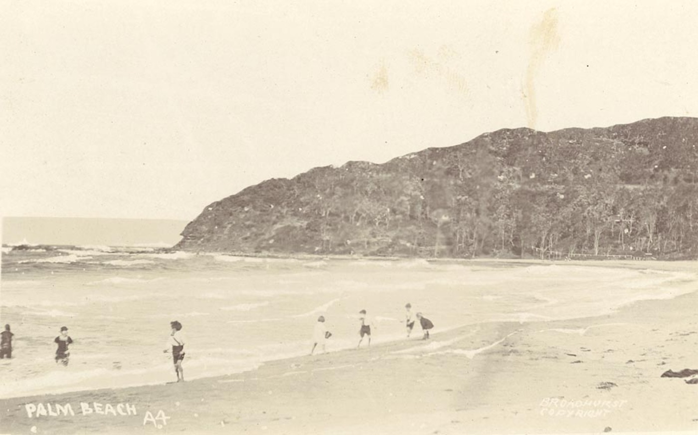
In June 1911, just after the tramline to Brookvale opened, a group of businessmen registered the 'Barranjoey Company', and led by John Ralston, succeeded in purchasing the Bassett-Darley Barrenjoey acreage. Some sources state they paid a whopping £500 - the proprietors apparently wanted at least £1900.00 but settled for what they could get.:
NOTES AND COMMENTS.
Barrenjoey Company, Ltd, has been registered with a capital of £6000, In 120 shares of £50 each, the object being to purchase 410 acres of the Bassett Darley subdivision. The first directors are Messrs H. Wolstenholme, E T Jones, J T Ralston, J Young, and H R Nolan. NOTES AND COMMENTS. (1911, June 3). The Sydney Morning Herald (NSW : 1842 - 1954), p. 15. Retrieved from http://nla.gov.au/nla.news-article15239859
They applied to install a jetty and a swimming area was later netted against sharks around this, which Warringah Shire council required them to maintain and make available for students to use.
APPLICATIONS FOR SPECIAL LEASES
Attention is directed to the notification in the "Government Gazette" of this date of applications made for Special Leases, as hereunder mentioned. Any objections lodged in writing at this office on or before 13th December, 1911, or before the Local Land Board shall have concluded its inquiry at the hearing of the respective applications for such Special Leases, will be duly considered; and any objections lodged after that period will not be entertained.
ARTHUR SHARP. Chairman.
Applicant: THE BARRANJOEY COMPANY, Limited (S.L.), 11.7, Metropolitan). Locality: Pittwater, Parish of Narrabeen, County of Cumberland. Area: 32 perches; for wharf. Advertising (1911, November 18). The Sydney Morning Herald (NSW : 1842 - 1954), p. 11. Retrieved from http://nla.gov.au/nla.news-article15290140
The 'wharf' was situated at what we today call the Gonsalves Jetty, earlier a James Booth enterprise and Carl Gow's Jetty after that.
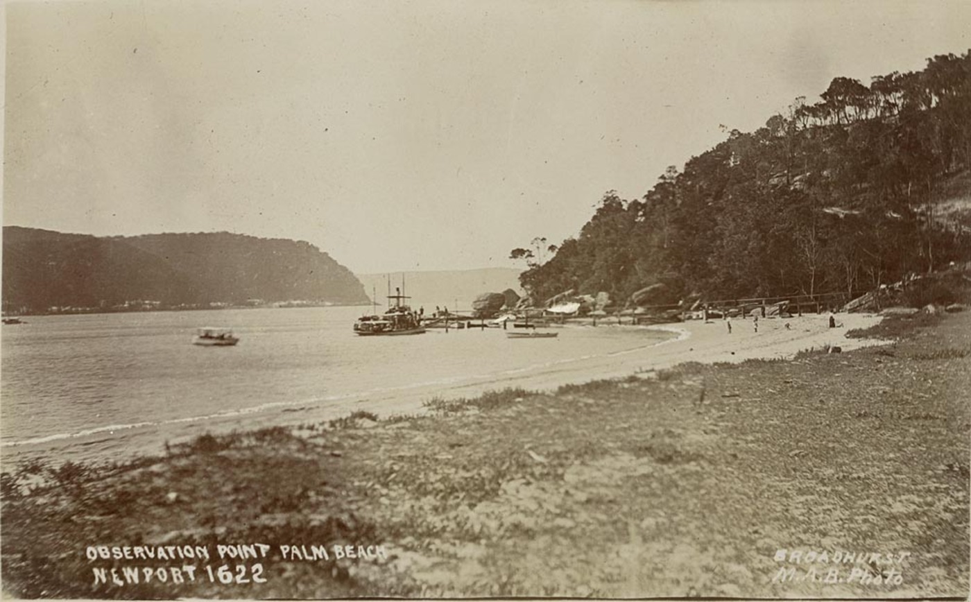
EXTENSION OF TERMS OF SPECIAL LEASES. County Cumberland, parish Narrabeen, below high-water mark, Pitt water, portion Sp. L. 1912 4 ; Ms. 3,922 Sy. Area, 1 rood 20 perches.
1917 -1176 Barranjoey Co., Ltd., 14 Castlereagh-st., Sydney. No. of Application – 1912 – 4, Metropolitan Bathing Place – from 1 Jan. 1917 to 31 Dec. 1921
Special Lease 1912 4, Metropolitan. Barrenjoey Company, Limited.—The lease shall be subject to subsections 1, 3, 4, G to 0, 11, and 13 of Regulation No. 10G (notified 20th April, 1917), and to the following special conditions:—
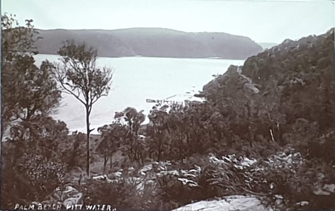
(a) The lessees shall permit children attending any school in Warringah Shire, and in charge of teachers, to have the free use of the baths without payment on one day in each week between the hours of 2 p.m. and 4 p.m., such children to provide their own towels and bathing costumes. (b) The lessees shall have not less than three life-buoys readily available at all times. (c) The lessees shall be responsible for the proper conduct and cleanliness of the baths, and shall compel bathers to wear suitable bathing costumes, (d) The lessees shall, after determination of the lease by forfeiture, effluxion of time, or otherwise, and within such time as may be given, remove the structure or all or any material from the lanel at their own cost, and without compensation, if required by the Minister in writing to do so. ) The lessees shall, within six months from the date of notification in the Government Gazette of the granting of the extension of the term of the lease, enclose the land with a shark-proof fence, and maintain such fence in efficient repair throughout the currency of the lease. (e) A breach of any of the conditions, or the occurrence of any indecent or disorderly conduct, will render the lease liable to forfeiture. EXTENSION OF TERMS OF SPECIAL LEASES. (1917, November 2). Government Gazette of the State of New South Wales (Sydney, NSW : 1901 - 2001), p. 5968. Retrieved from http://nla.gov.au/nla.news-article227328341
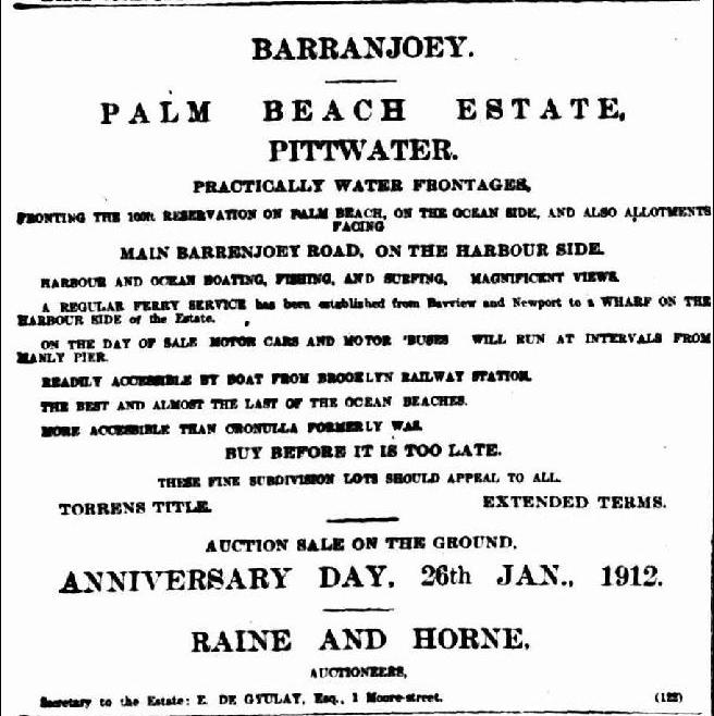
Advertisement for above stating 'harbour side wharf': Advertising. (1912, January 6). The Sydney Morning Herald(NSW : 1842 - 1954), p. 21. Retrieved from http://nla.gov.au/nla.news-article15300293
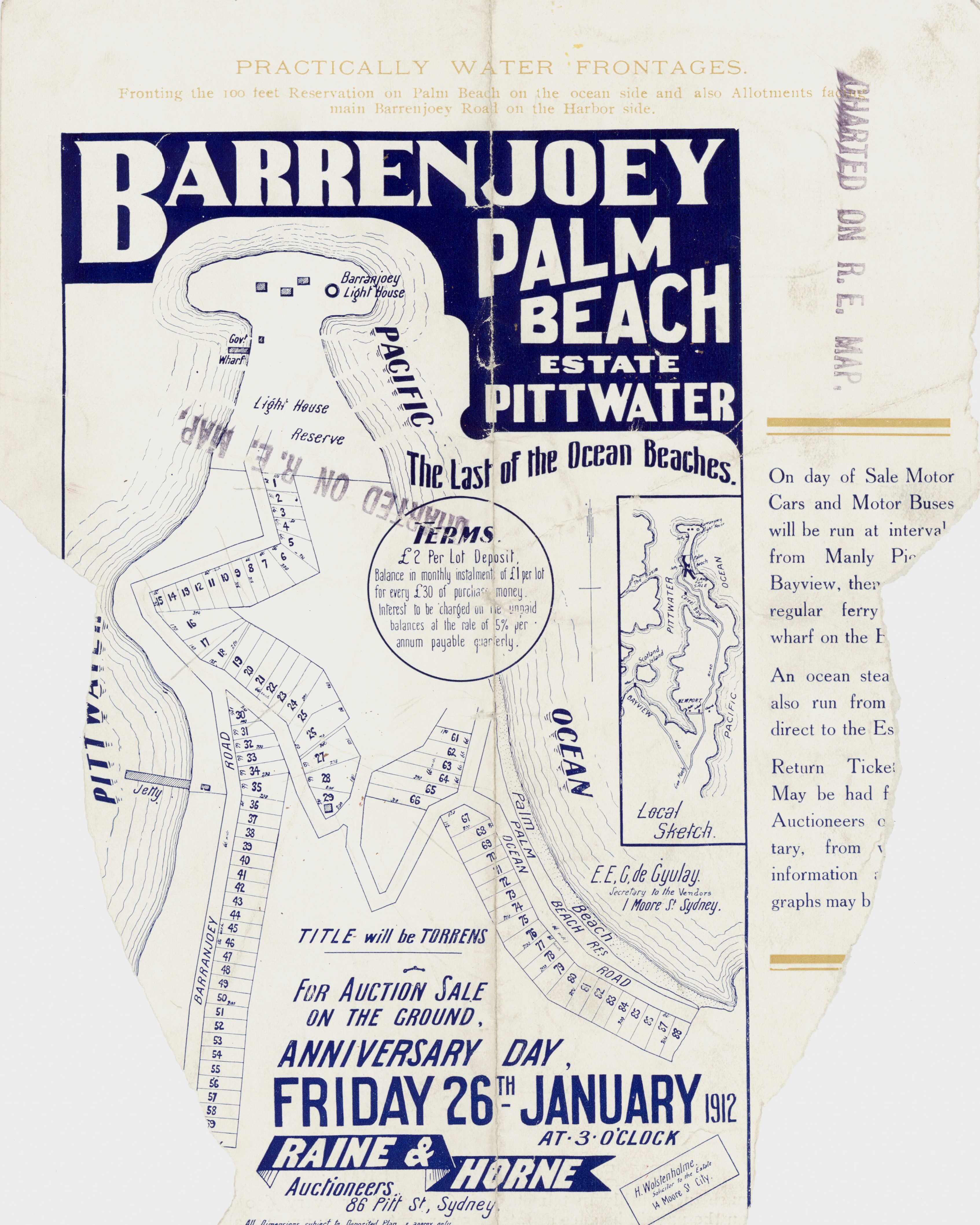
Barrenjoey - Palm Beach Estate - Pittwater - Barranjoey Rd 1912 - part of brochure. Item: c052700024, courtesy State Library of NSW
Barrenjoey - Palm Beach Estate - Pittwater - Barranjoey Rd 1912 - part of brochure. Item: c052700025, courtesy State Library of NSW
More in:
- Pittwater Roads II: Where The Streets Have Your Name - Palm Beach
- Roads In Pittwater: The Barrenjoey Road
- Summer Houses In Pittwater: A Cottage Of 1916 and Palm Beach House - 1916 To 1929
- Pittwater Summer Houses: The Cabin, Palm Beach - The Pink House Of The Craig Family
- Florida House
- Palm Beach Early Stores: Gow and Howlett's
- Captain Carl Gow WWI
- Palm Beach Jetty and Gow's Wharf
- Carl Gow and Frank Gonsalves Boatshed, Palm Beach
- Pittwater Reserves: The Green Ways Hordern Or Wiltshire Parks To McKay Reserve – From Beach To Estuary
- The Fearless Men Of Palm Beach SLSC's Surf Boats First Crews: A Tale of Viking Ships, Butcher Boats and Robert Gow’s Tom Thumb 'Canoe'
- Lieutenant Colonel Douglas Marks DSO, MC
- Pittwater Restaurants You Could Stay At Barrenjoey House – Palm Beach
- Bryan Webster - Profile - 'My grandfather was the first permanent resident of Whale Beach – some say 1921, others say 1923, I don’t have the records to ascertain which it is.'
- The First Weekenders On The Palm Beach Beachfront + A Look Into Palm Beach SLSC Clubhouses In The Club's 101st Season
- Pittwater Summer Houses: Kalua, Palm Beach