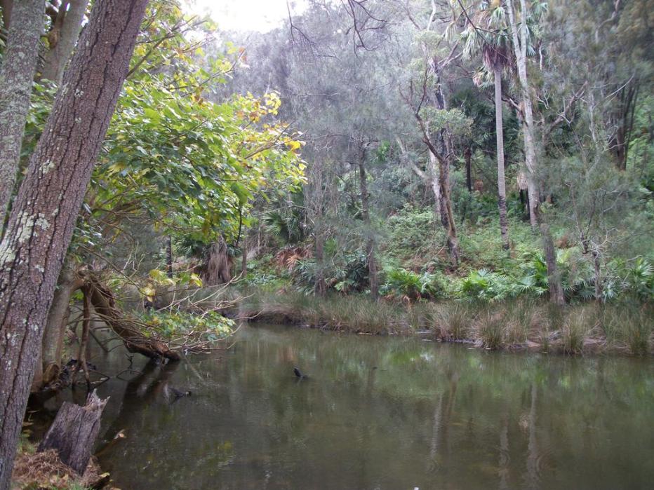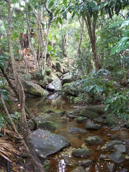
Creek at Currawong where valley begins to rise west
|
|
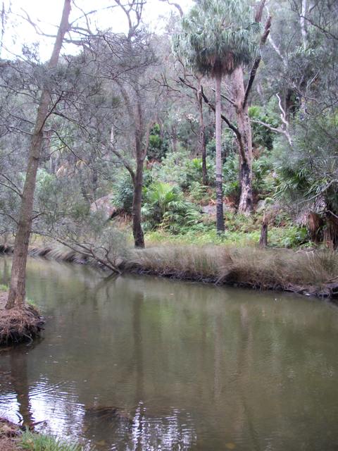
Currawong's Creek
It's just over a year since we Celebrated Currawong Day, and to close our June celebration of Pittwater creeks, this pristine wending of water and its surrounds of original remnant vegetation is the song we would leave sounding to your ears.
Named for the holiday camp established in 1949, Currawong Beach was formally called Little Mackerel or Mackeral due to the abundance of this fish being caught here. Currawong's unnamed creek extends from the sandstone plateau in the northern section of the amiptheatre through the rocky gully and down onto the lower clearing. It discharges into Pittwater during significant rain events and flood tides.
The eastern portion of the creek is estuarine in nature, supporting small stands of remnant mangrove and saltmarsh vegetation. What is called the Northholme Midden is located on the northern side of the creek mouth, in the northern part of the site, and is under threat of erosion. Northolme (some sources state this was called 'Northend') is the name of a structure that was once on the north side of the creek. Patricia Nolan shared some memories and wonderful pictures of family holidays in Northolme last year. Her family picture below shows her and her siblings standing on the bridge that stretched across the creek.
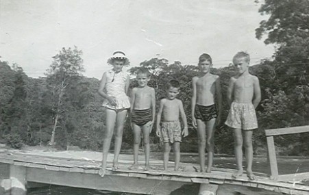
The landscape of the rocky escarpment above the creek is in the Watagan Colluvial Soil Landscape Grouping, characterised by rolling to very steep hills on fine-grained Narrabeen Group sediments. The flatter area is classified in the Warriewood Swamp Soil Landscape Grouping. A photographic record of Currawong shows frequent swampy areas on the flats
The first recorded European settlement of this land states it was promised in a land grant to William Booth, who made no improvements to the land (Clearing was a condition of these grants). Martin Burke, an ex-convict, then applied for the land and farmed there for decades with John Clarke, a fellow Irishman he was transported with.
9. Cumberland, fifty acres, parish of Broken Bay, situated at the basin at Pitt-water, commencing at a marked tree in a small bay, and bounded on the west by a line north 22 chains ; on the north by a line east 25 chains to Pitt-water; and on the south east and all other sides by that water to the marked tree. Applied for by Martin Burke. Price five shillings per acre.
Colonial Secretary's Office, Sydney, 5th Nov. 1833. SALE OF LAND. (1833, November 11). The Sydney Herald (NSW : 1831 - 1842), p. 4. Retrieved November 9, 2011, from http://nla.gov.au/nla.news-article12848144
